Stara Vrhnika - Kuren (Sveti Miklavž)
Starting point: Stara Vrhnika (324 m)
| Latitude/Longitude: | 45,974°N 14,2858°E |
| |
Walking time: 35 min
Difficulty: easy marked way
Elevation gain: 202 m
Elevation difference along the route: 202 m
Map: Ljubljana - okolica 1:50.000
Recommended equipment (summer):
Recommended equipment (winter):
Views: 7.867
 | 1 person like this post |
Access to starting point:
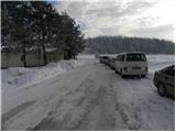
From the highway Ljubljana - Koper we go to the exit Vrhnika, and then at the first traffic light we continue left in the direction of Logatec. On the old road towards Logatec we drive only a few 10 meters and then signs for Horjul point us to the right. Further, we drive towards Horjul, and we follow the mentioned road to the spot where signs for Stara Vrhnika point us to the left. We continue driving through the mentioned settlement, and then we quickly get to a crossroad at the fire station. Here we park on a suitable place by the crossroad.
Route description:
From the crossroad at the fire station, we go straight and we continue on a slightly ascending road which past the church of St. Lenart brings us to a crossroad at NOB monument. Here we continue right and on still ascending road we walk to the upper part of Stara Vrhnika, where by the end of the road mountain signposts for Planina and Kuren point us to the right on a wide mountain path. We continue for some time through the forest and then we twice cross an asphalt road. Only a little higher, we come to a marked crossing, where we continue right in the direction of "Kuren" (straight Zavetišče na Planini nad Vrhniko). The path ahead leads us through a lane of bushes, after which we get to a macadam road, and past a few houses it brings us to tourist farm Kuren and only a few meters ahead also to the church of St. Miklavž.
Photos:
 1
1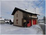 2
2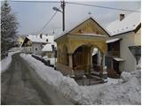 3
3 4
4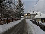 5
5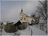 6
6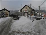 7
7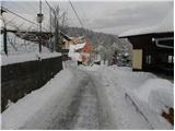 8
8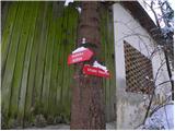 9
9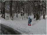 10
10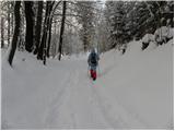 11
11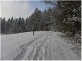 12
12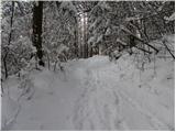 13
13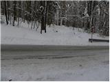 14
14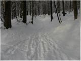 15
15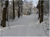 16
16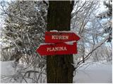 17
17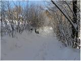 18
18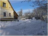 19
19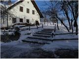 20
20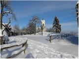 21
21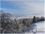 22
22
Discussion about the trip Stara Vrhnika - Kuren (Sveti Miklavž)
To post a comment you must log in:
If you do not yet have a username, you must first
register.