Srednji Vrh - Vošca (via Jureževa planina)
Starting point: Srednji Vrh (960 m)
| Latitude/Longitude: | 46,4894°N 13,8371°E |
| |
Route name: via Jureževa planina
Walking time: 2 h 5 min
Difficulty: easy unmarked way
Elevation gain: 777 m
Elevation difference along the route: 777 m
Map: Kranjska Gora 1:30.000
Recommended equipment (summer):
Recommended equipment (winter): ice axe, crampons
Views: 12.841
 | 1 person like this post |
Access to starting point:
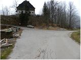
From the highway Ljubljana - Jesenice we take the exit Jesenice - west (Hrušica) and continue driving in the direction of Kranjska Gora. When we arrive in Gozd-Martuljek we turn right in the direction of Srednji Vrh and on a narrow and steep road drive to the mentioned settlement. When the road flattens a little, we will come to a crossroad of several roads and a turning area. Here we park on a suitable spot by the crossroad.
Route description:
From the crossroad, we continue on the left ascending road beside which we notice signs "Trupijevo poldne". This road, which leads us past the cheese dairy Pr' Hlebanju and the turn-off to the path to Trupejevo poldne, we then follow to the end of the road at the farm Jurež (Ecological farm pri Merklnu). We continue past the business building, and then just before the residential house we continue sharply right on a cart track which ascends between both buildings. We continue on the cart track which ascends across a panoramic hayfield, then turns to the left and gradually enters the forest through which we ascend for quite some time. The path soon crosses a small spring and then quickly brings us to a fork of two cart tracks. We continue on the right one (the left ends at the ruined bridge), which a little further brings us out of the forest onto grassy slopes. Here the trail somewhat disappears, but during the entire ascent we keep to the right edge of the grassy slope there. Higher up we step onto the road which leads from the border crossing Korensko sedlo and follow it to the right; it brings us to Jureževa planina after about 5 minutes of further walking.
From the hunting cottage on Jureževa planina we continue another 10 meters or so along the forest road, then leave it and continue the ascent to the left on the ascending and often muddy cart track. The cart track ascends through a belt of forest and then brings us to the summit grassy slopes of Vošca. Here the path turns to the left and then ascends transversely towards the summit, which we already see in front of us, reaching it after approximately 10 minutes of further walking.

Photos:
 1
1 2
2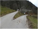 3
3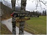 4
4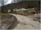 5
5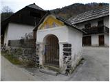 6
6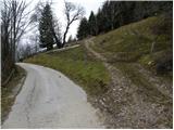 7
7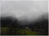 8
8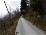 9
9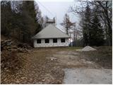 10
10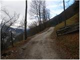 11
11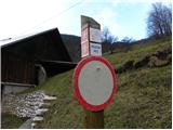 12
12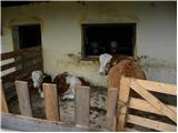 13
13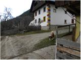 14
14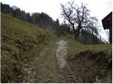 15
15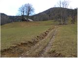 16
16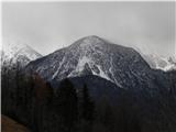 17
17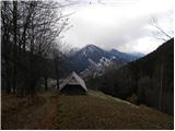 18
18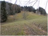 19
19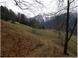 20
20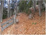 21
21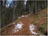 22
22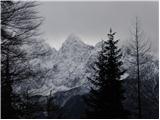 23
23 24
24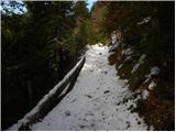 25
25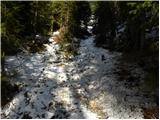 26
26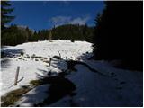 27
27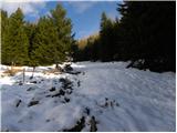 28
28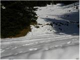 29
29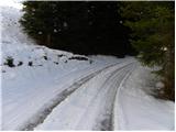 30
30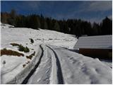 31
31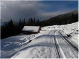 32
32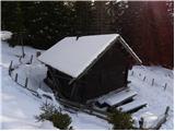 33
33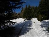 34
34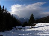 35
35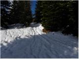 36
36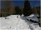 37
37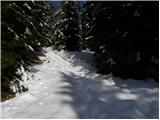 38
38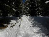 39
39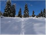 40
40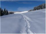 41
41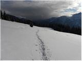 42
42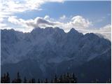 43
43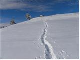 44
44 45
45 46
46
Discussion about the trip Srednji Vrh - Vošca (via Jureževa planina)
|
| tuna.iris18. 10. 2014 |
Wonderful weather, pleasant path, nice view, good company = wonderfully spent day.
|
|
|
|
| Sreb16. 10. 2017 |
On Saturday up the trail to the summit, fantastic view!
But I must warn that cows, sheep and goats are currently grazing above Jureževa farm (not alpine pasture), so the path goes through their pastures. We didn't dare pass with the dog, so we made a detour around to the right side and rejoined the main path after crossing the forest about 100, 150 vertical meters higher.
|
|
|
|
| Majdag23. 03. 2022 15:53:00 |
21.3. ....Up to the road to Jureževo planino there isn't much snow. Then the snow blanket is still quite thick in places. Deep holes in the snow, also traces of crampons were visible. Across the white plain towards the summit, they would come in quite handy. Beautiful views, I enjoyed myself like I haven't in a long time. Didn't meet anyone, wonderful day. But the slope from Jureževa farmstead to the top is knee-grinding all the way. You only catch your breath a bit on the road.
https://jelenkamenmajdag.blogspot.com/2022/03/na-vosco-grem.html
|
|
|
To post a comment you must log in:
If you do not yet have a username, you must first
register.