Starting point: Srednja vas (350 m)
| Latitude/Longitude: | 46,05734°N 14,33092°E |
| |
Walking time: 1 h 20 min
Difficulty: easy marked way
Elevation gain: 379 m
Elevation difference along the route: 450 m
Map:
Recommended equipment (summer):
Recommended equipment (winter):
Views: 245
 | 1 person like this post |
Access to starting point:
From Ljubljana, Horjul, or Gorenja vas, we drive toward Polhov Gradec. When we reach Srednja vas, at the foot of the hill by the hayrack, there is a crossroad where we turn south. We park in front of the bridge over the river Gradaščica.
Route description:
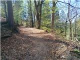
We cross Gradaščica and the path starts quickly ascending through forest trails towards the top of the ridge. We can choose a slightly less steep path, keeping a bit more to the left and later turning towards the west. When we reach the ridge, after a few tens of minutes of moderate walking, we arrive at a larger clearing, where a view opens up on Polhograjski dolomiti. At the end of the clearing, we keep slightly to the left, where we reach a forest road that continues along the top of the ridge. From the forest road, we can diverge and ascend to smaller peaks along the path. We consistently follow the southwest direction, and at the end, the forest road joins a cart track coming from Koreno. We ascend along the road until it levels out and we see the church on Koreno.
Photos:
 1
1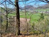 2
2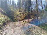 3
3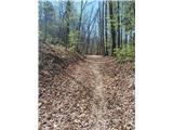 4
4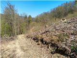 5
5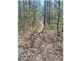 6
6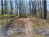 7
7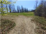 8
8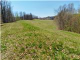 9
9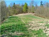 10
10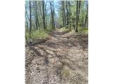 11
11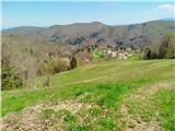 12
12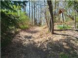 13
13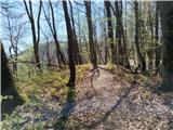 14
14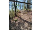 15
15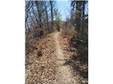 16
16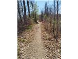 17
17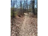 18
18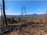 19
19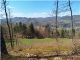 20
20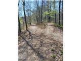 21
21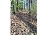 22
22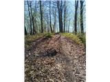 23
23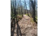 24
24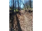 25
25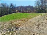 26
26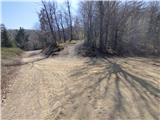 27
27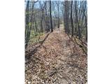 28
28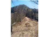 29
29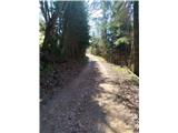 30
30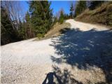 31
31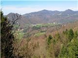 32
32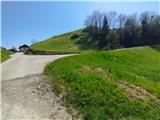 33
33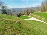 34
34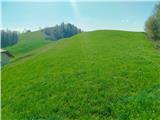 35
35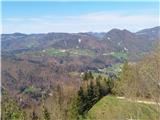 36
36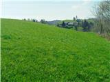 37
37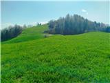 38
38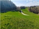 39
39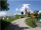 40
40
Discussion about the trip Srednja vas - Koreno
To post a comment you must log in:
If you do not yet have a username, you must first
register.