Starting point: Spodnje Škofije (74 m)
| Latitude/Longitude: | 45,57090°N 13,79250°E |
| |
Walking time: 1 h 15 min
Difficulty: easy marked way
Elevation gain: 300 m
Elevation difference along the route: 300 m
Map: Primorje in Kras 1:50.000
Recommended equipment (summer):
Recommended equipment (winter):
Views: 3.471
 | 1 person like this post |
Access to starting point:
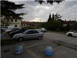
From Primorska highway, at the junction Srmin we follow the signs for Škofije and Ankaran, and then we take the exit Škofije. From the nearby roundabout, we drive in the direction of Škofije, and then we drive to the center of the settlement, where we park on one of the parking lots near the traffic light, pharmacy or Mercator store.
Route description:
From the spot where we've parked, we first walk to the traffic light, where we already notice the first blazes. We continue on the southeast side of the road, and then left from the bus station, on a power line pole we notice the next blaze, which points us to an asphalt path left from the nearby house. Signs for Tinjan then lead across the cycling path, and a little ahead we reach the road which leads towards Tinjan. The path ahead leads us past the cemetery, and the panoramic road, from which a view opens up towards Trst, then starts moderately ascending. Further, we ascend through Zgornje Škofije, and higher the settlement ends, and a few minutes later we get to a crossroad, where a road towards Kolombar and Slatine branches off to the right.
We continue straight, on a still marked road which a little higher also joins a marked path from Dekani. When we get to Tinjan, the path at first leads past the chapel, and then also past a few houses, to the church of St. Michael on Tinjanski Hill, where there is a SPP stamp.
Description and pictures refer to the condition in the year 2018 (April).

Along the route: Zgornje Škofije (201m)
The trip can be extended to the following destinations: Ankaran
Photos:
 1
1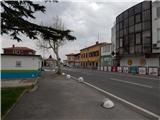 2
2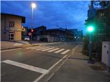 3
3 4
4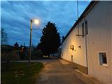 5
5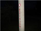 6
6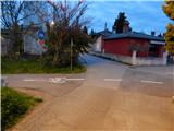 7
7 8
8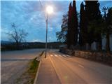 9
9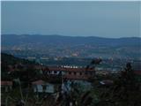 10
10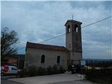 11
11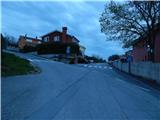 12
12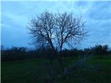 13
13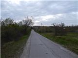 14
14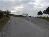 15
15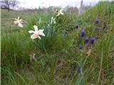 16
16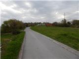 17
17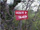 18
18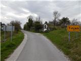 19
19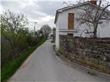 20
20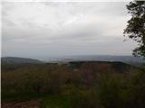 21
21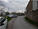 22
22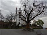 23
23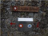 24
24
Discussion about the trip Spodnje Škofije - Tinjan
To post a comment you must log in:
If you do not yet have a username, you must first
register.