Izvir Poltarice - Source of Krka
Starting point: Izvir Poltarice (272 m)
| Latitude/Longitude: | 45,8865°N 14,7686°E |
| |
Walking time: 10 min
Difficulty: easy marked way
Elevation gain: 0 m
Elevation difference along the route: 10 m
Map:
Recommended equipment (summer):
Recommended equipment (winter):
Views: 3.100
 | 2 people like this post |
Access to starting point:
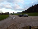
From Ivančna Gorica we drive towards Žužemberk or vice versa, then between the settlements Krška vas and Gabrovčec we leave the main road and continue driving in the direction of Grosuplje and Krka. In Krka we leave the road which leads towards Grosuplje and continue right towards the source of the river Krka. From Krka, where we can already start our path, we drive a few hundred meters more, to a marked parking lot by the source of Poltarica.
Route description:
From the parking lot at the source of Poltarica, first over the bridge we cross the river Poltarica, then we quickly arrive at the settlement Gradiček, where the road leads us between some houses. At the end of the village, signs for the footpath direct us to the road which is closed to public traffic by a traffic sign; this road also quickly ends, and from it we continue left onto a paved path that brings us through a meadow to the source of Krka, from which only a short descent separates us.
Description and pictures refer to the condition in the year 2016 (October).
Along the route: Gradiček (280m)
Photos:
 1
1 2
2 3
3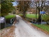 4
4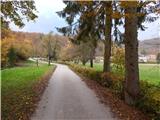 5
5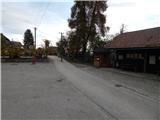 6
6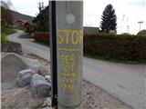 7
7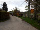 8
8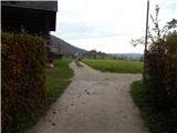 9
9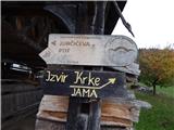 10
10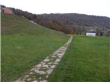 11
11 12
12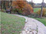 13
13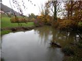 14
14
Discussion about the trip Izvir Poltarice - Source of Krka
To post a comment you must log in:
If you do not yet have a username, you must first
register.