Starting point: Sora (342 m)
| Latitude/Longitude: | 46,1416°N 14,3765°E |
| |
Walking time: 1 h 45 min
Difficulty: easy marked way
Elevation gain: 464 m
Elevation difference along the route: 495 m
Map: Škofjeloško in Cerkljansko hribovje 1:50.000
Recommended equipment (summer):
Recommended equipment (winter):
Views: 11.071
 | 1 person like this post |
Access to starting point:
First, we drive to Medvode, and then we continue driving towards the village Sora, where on one of the appropriate parking spaces we also park.
Route description:
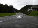
From Sora we continue on the road which leads towards the village Topol (Katarina), and we walk there only to the nearby company Prima filtri. Here red signposts point us to the left through a bridge over the river Ločnica, and only a little after the bridge we again continue left, this time on an ascending cart track. Already after a few meters the cart track turns sharply to the right and passes into a dense forest. We further follow a marked cart track which crosses a few torrent streams and higher it changes into a steep footpath. The path higher turns a little towards the left and it joins a rough cart track, where it also flattens a little. The path then brings us to a cross after which we at first join the macadam and then also the asphalt road which we follow to the right. We continue on the asphalt road which past NOB monument brings us to the upper part of the village Studenčice. Here the road starts ascending steeper, and then it flattens and past the abandoned quarry brings us to the village Tehovec. We continue a gentle ascent on again more panoramic slope, and we follow the asphalt road all the way to the church of St. Florian in already mentioned village.
From the mentioned church we for some time continue on the asphalt road, and then we get to a small saddle from where we go on a wide macadam road. The mentioned road we follow only a short time, and then blazes point us slightly to the left on the path which goes into the forest and on the left side bypasses the peak of Sveti Jakob. After a few minutes of crossing, we again step out of the forest, and we join the path which comes from the village Topol. Here we continue sharply right and some 10 strides we continue on a wide cart track, and then blazes point us to the right on a steep footpath, on which by the edge of the forest in a few minutes we ascend on a panoramic peak with the church of St. Jakob.

Photos:
 1
1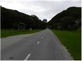 2
2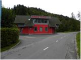 3
3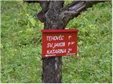 4
4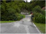 5
5 6
6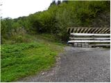 7
7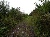 8
8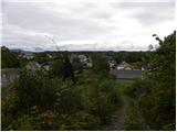 9
9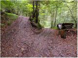 10
10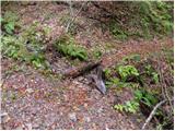 11
11 12
12 13
13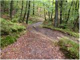 14
14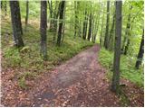 15
15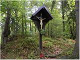 16
16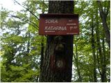 17
17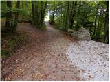 18
18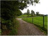 19
19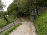 20
20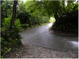 21
21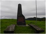 22
22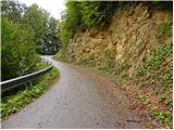 23
23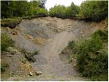 24
24 25
25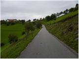 26
26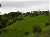 27
27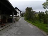 28
28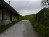 29
29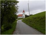 30
30 31
31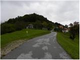 32
32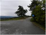 33
33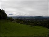 34
34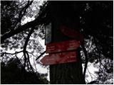 35
35 36
36 37
37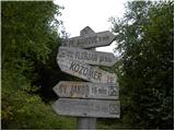 38
38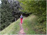 39
39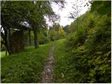 40
40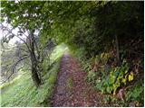 41
41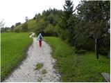 42
42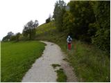 43
43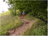 44
44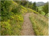 45
45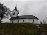 46
46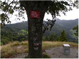 47
47 48
48
Discussion about the trip Sora - Sveti Jakob
To post a comment you must log in:
If you do not yet have a username, you must first
register.