Sora - Hom (steep past cemetery)
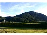
Starting point: Sora (360 m)
| Latitude/Longitude: | 46,1414°N 14,3703°E |
| |
Route name: steep past cemetery
Walking time: 50 min
Difficulty: easy unmarked way
Elevation gain: 355 m
Elevation difference along the route: 355 m
Map: Ljubljana - okolica 1:50.000
Recommended equipment (summer):
Recommended equipment (winter):
Views: 3.963
 | 2 people like this post |
Access to starting point:
From Medvode or Puštala we drive to the village Sora, from there we continue driving towards the village Osolnik. At the end of the village Sora we park on the arranged parking lot by the road (parking lot is situated below the church of St. Stephen).
Route description:
From the starting point (picture 2) we go right on the path (3) past the church and we continue uphill right past the cemetery (6). Unmarked path is the next few meters quite overgrown (7), but we quickly emerge from the bushes (8). We soon come to a crossing (9) and even though both paths come a little higher to the same point, we go on the right, because it isn't overgrown. When paths again meet (10), we go on the right, but only 15 meters and then we go left on the ridge, where the unmarked path again appears (11). We follow the path at first a little steeply (12), then it flattens a little (13), and after that follows about 20 min of quite steep path to a crossing, where a less steep path from the left joins (17).
We continue slightly right on a marked path, which a little higher splits into two parts (20). We again continue right in the direction of Hom (slightly left Osolnik - path, which on the left side bypasses the peak Hom) on a steeper path (22). The path flattens higher up, and then in a few minutes of additional walking brings us to the summit of Hom (25), from which a nice view opens up on Sorško polje and Kamnik-Savinja Alps.

The trip can be extended to the following destinations: Osolnik (1 h)
Photos:
 1
1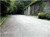 2
2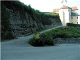 3
3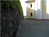 4
4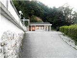 5
5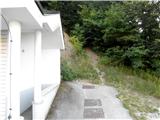 6
6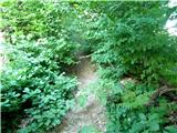 7
7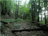 8
8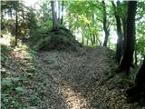 9
9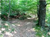 10
10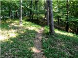 11
11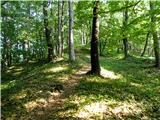 12
12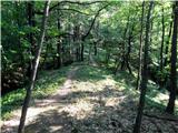 13
13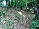 14
14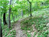 15
15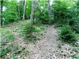 16
16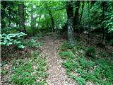 17
17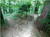 18
18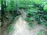 19
19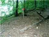 20
20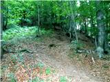 21
21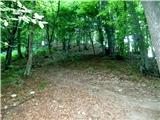 22
22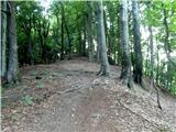 23
23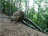 24
24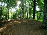 25
25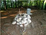 26
26 27
27
Discussion about the trip Sora - Hom (steep past cemetery)
To post a comment you must log in:
If you do not yet have a username, you must first
register.