Starting point: Soča (500 m)
| Latitude/Longitude: | 46,3425°N 13,6693°E |
| |
Walking time: 3 h 40 min
Difficulty: easy pathless terrain
Elevation gain: 1474 m
Elevation difference along the route: 1474 m
Map: TNP 1:50.000
Recommended equipment (summer):
Recommended equipment (winter): ice axe, crampons
Views: 5.433
 | 3 people like this post |
Access to starting point:
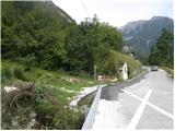
From Trenta or Bovec we drive to the village Soča, where by the road we notice the church. The beginning of the footpath is 200-300m from the church towards Trenta, where by the road we notice signposts and a smaller parking lot for 2-3 cars.
Route description:
From the village Soča we go on a footpath following the signs Bavški Grintavec. The path already at the beginning starts quite steeply ascending through the forest and in good half an hour of walking, it brings us to the mountain pasture or village Lemovje. Here the path at first turns a little to the left past few houses, and then soon turns to the right and again starts steeply ascending through the forest. The path then turns to the left, where the steepness slightly decreases. Next follows crossing of steep south slopes below Kol (1924 meters), which brings us to the hunting cottage on the mountain pasture Planina nad Sočo.
Few meters above the hunting cottage we leave the marked path and we go left on a poorly beaten footpath. The footpath then through a short lane of a forest brings us to the hunting observatory, where we continue right upwards. The path here runs on the right side of a grassy slope upwards. The path then again brings us into the forest and is still ascending towards the north. The footpath is here very poorly visible and slowly turns slightly to the right. A little higher, the path turns to the left and it brings us out of the forest. From here is a nice view towards Vrh Leh (1958 meters), which is all vegetated with dwarf pines. Slightly right from the mentioned summit is nicely visible path (narrow lane without dwarf pines), which leads straight upwards. Further, we are then steeply ascending on the mentioned path. A little before we reach the ridge from the right joins poorly visible path, which crosses a slope below Vrh Ruš (1995 meters). Here we continue left and on a narrow footpath we cross a slope through dwarf pines. We soon come out of the dwarf pines on a grassy slope and we start ascending towards smaller saddle between the peaks Pri Banderi and Vrh Leh.
On the saddle where a view opens up into a valley of Bavšica, we continue left on a grassy ridge and then we soon reach the peak Pri Banderi.

Photos:
 1
1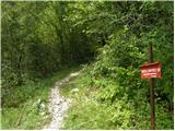 2
2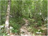 3
3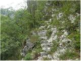 4
4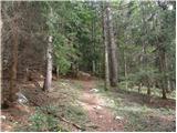 5
5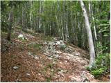 6
6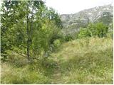 7
7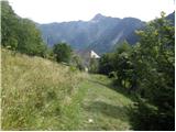 8
8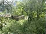 9
9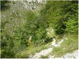 10
10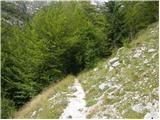 11
11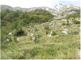 12
12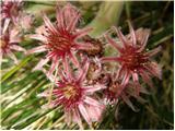 13
13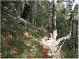 14
14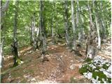 15
15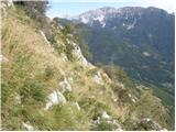 16
16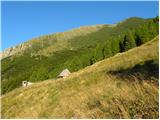 17
17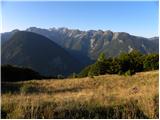 18
18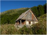 19
19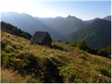 20
20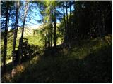 21
21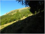 22
22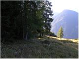 23
23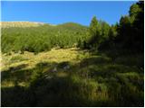 24
24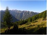 25
25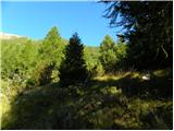 26
26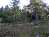 27
27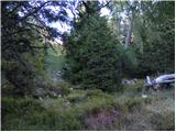 28
28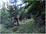 29
29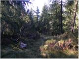 30
30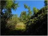 31
31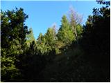 32
32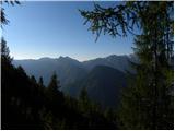 33
33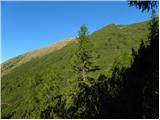 34
34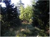 35
35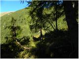 36
36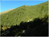 37
37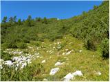 38
38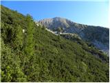 39
39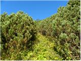 40
40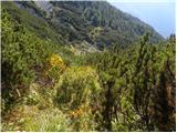 41
41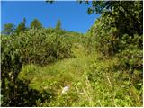 42
42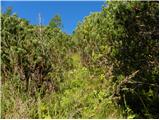 43
43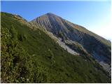 44
44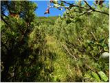 45
45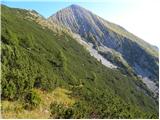 46
46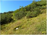 47
47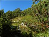 48
48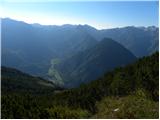 49
49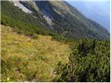 50
50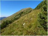 51
51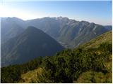 52
52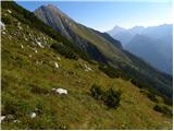 53
53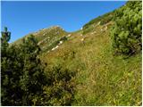 54
54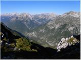 55
55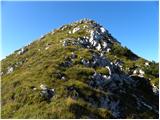 56
56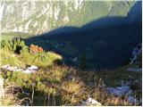 57
57 58
58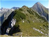 59
59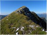 60
60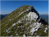 61
61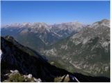 62
62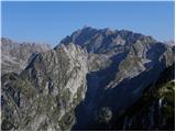 63
63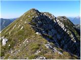 64
64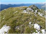 65
65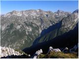 66
66
Discussion about the trip Soča - Pri Banderi
|
| prti30. 05. 2018 |
From Planina nad Sočo onwards it's already much more overgrown than in the upper pictures (https://ibb.co/icMQFy - unfortunately I don't have a better picture).
The path between the planina and the ruins is also very overgrown (or maybe I got lost), but with the help of the above description it's not hard to orient in the right direction.
Nice tour.
|
|
|
|
| darinka424. 07. 2025 10:44:47 |
No one has written about this peak for a long time. We were there yesterday. We managed to complete the circular path. From the summit we continued along the ridge and got a bit off track. Although we could have gone straight by navigation. But our exploratory spirit wouldn't let us. We ended up in scree. We searched and reached a former path lower down. The lonely ends of the Trenta always surprise again.
|
|
|
To post a comment you must log in:
If you do not yet have a username, you must first
register.