Starting point: Soča (500 m)
| Latitude/Longitude: | 46,3425°N 13,6693°E |
| |
Walking time: 2 h 30 min
Difficulty: easy marked way
Elevation gain: 900 m
Elevation difference along the route: 900 m
Map: Trenta 1:25.000 in Julijske Alpe - zahodni del 1:50.000
Recommended equipment (summer):
Recommended equipment (winter): ice axe, crampons
Views: 13.396
 | 3 people like this post |
Access to starting point:
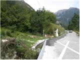
From Trenta or Bovec we drive to the village Soča, where by the road we notice the church. The beginning of the footpath is 200-300m from the church towards Trenta, where by the road we notice signposts and a smaller parking lot for 2-3 cars.
Route description:
From the village Soča we go on a footpath following the signs Bavški Grintavec. The path already at the beginning starts ascending quite steeply through the forest and in a good half an hour of walking brings us to the mountain pasture or abandoned village Lemovje.
Here the path at first turns a little to the left through a meadow, after that soon turns to the right and again starts steeply ascending partly through the forest, partly over steep meadows. The path then turns to the left, where the steepness slightly decreases. Next follows crossing of steep south slopes below Kol (1924 m), which brings us to the hunting cottage on the mountain pasture Planina nad Sočo.
Along the route: Lemovje (856m)
Photos:
 1
1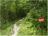 2
2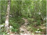 3
3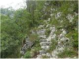 4
4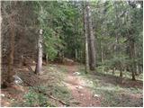 5
5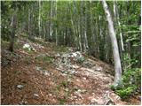 6
6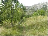 7
7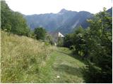 8
8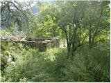 9
9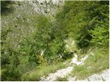 10
10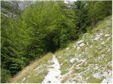 11
11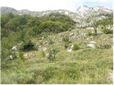 12
12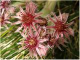 13
13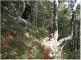 14
14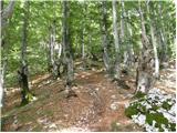 15
15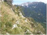 16
16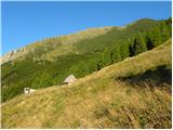 17
17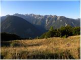 18
18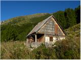 19
19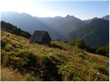 20
20
Discussion about the trip Soča - Planina nad Sočo
|
| Robyt22. 11. 2020 |
Today's completed hike. Fantastic, gorgeous weather. I recommend for outings.
|
|
|
|
| anazala14. 06. 2021 20:19:34 |
I'm going next week. Hope everything will be okay.
|
|
|
|
| VesnaM1. 09. 2021 20:43:57 |
Is it possible to refill water somewhere along the path?
|
|
|
|
| zwbgr1. 09. 2021 21:38:40 |
a bit further from Lemovje there is a small spring by the path, so yes
|
|
|
To post a comment you must log in:
If you do not yet have a username, you must first
register.