Slovenj Gradec - Kremžarjev vrh
Starting point: Slovenj Gradec (413 m)
| Latitude/Longitude: | 46,5102°N 15,0817°E |
| |
Walking time: 2 h 15 min
Difficulty: easy marked way
Elevation gain: 751 m
Elevation difference along the route: 760 m
Map: Pohorje - izletniška karta 1:50.000
Recommended equipment (summer):
Recommended equipment (winter): crampons
Views: 8.050
 | 1 person like this post |
Access to starting point:
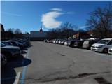
We drive to Slovenj Gradec, and we park near the roundabout by the Hofer store. Most of the parking lots in the center of the town are payable during the week, and we can mostly park only for two hours; therefore, on the mentioned parking lots it is best to park on weekends, and during the week we choose another parking lot. A larger free parking lot is by the town's cemetery, which extends our path by a good 10 minutes. The cemetery is situated on the periphery of the town in the direction towards Velenje.
Route description:
From the spot where we've parked, we walk to the roundabout by the Hofer store, and then we head onto the road in the direction of the ski slope Kope and the settlement Legen. At first we walk on the sidewalk; we leave the road towards Kope at the intersection, where the road towards Kope turns right, and we continue straight in the direction of the marked path to Kremžarjev vrh and the road towards Gradišče. Further on, we still walk on the sidewalk; a little after the road sign which marks the end of Slovenj Gradec, the signposts direct us to the left onto the path which ascends through a meadow. At a few houses, we cross the asphalt road, and a little higher we join it and follow it to the right.
For a short time, we walk on the asphalt road, and then the blazes direct us slightly to the left onto the footpath which ascends through the forest. Higher up, we step out of the forest, cross a macadam road, and ascend across the panoramic grassy slope. On the upper edge of the meadow, we cross yet another worse road, and then temporarily continue the ascent through the forest again. We quickly leave the forest and arrive at the second hay meadow, along the edge of which we continue to a smaller hamlet, where we step onto the road. Here, by the road which we follow for a few meters, we notice a cross and then head left onto a wide cart track, which we leave after a few meters. The signs direct us to the right upwards onto the path which through the forest brings us to the next hamlet. Here we again step onto the road, which we follow to the left. After a few minutes of walking along the road, we come to an intersection, where we continue straight on the lower road which brings us to the next hamlet. Just a few meters before the house, the marked path turns left and continues along the cart track. We then follow this path to the next hamlet, after which we walk a few meters along the road. The blazes here again direct us onto the footpath, which a little higher once again crosses the road. After that, the path ascends a little more steeply for a short time and brings us to a junction, where the path from Dravograd joins us. Here we continue to the right, and after a short ascent across the partly unvegetated slope we arrive at the Koča pod Kremžarjevim vrhom hut.
From the hut, we continue left in the direction of Kremžarjev vrh. After a few minutes, the path brings us to an interesting chapel, which is half open and half glassed. Here we continue straight and follow the path, which leads us slightly upwards across the panoramic slope, where a view towards Košenjak opens up. The path then goes into the forest, which does not end even at the summit, which we reach in a few minutes of further walking.
Slovenj Gradec - Koča pod Kremžarjevim vrhom 2:05, Koča pod Kremžarjevim vrhom - Kremžarjev vrh 0:10.

The trip can be extended to the following destinations: Kremžarjev vrh
Photos:
 1
1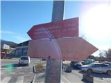 2
2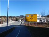 3
3 4
4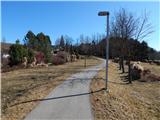 5
5 6
6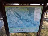 7
7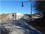 8
8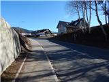 9
9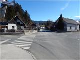 10
10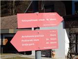 11
11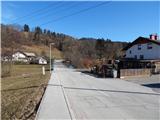 12
12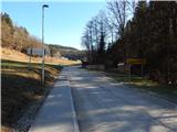 13
13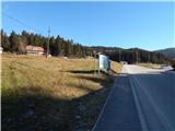 14
14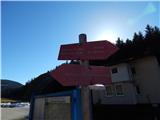 15
15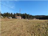 16
16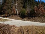 17
17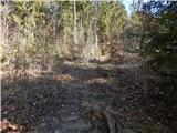 18
18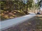 19
19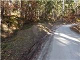 20
20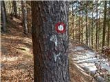 21
21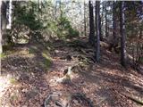 22
22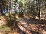 23
23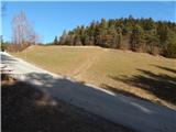 24
24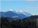 25
25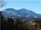 26
26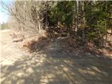 27
27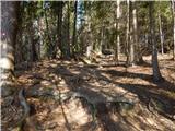 28
28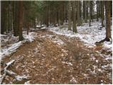 29
29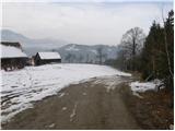 30
30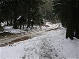 31
31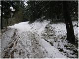 32
32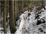 33
33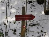 34
34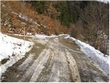 35
35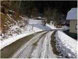 36
36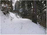 37
37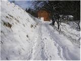 38
38 39
39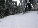 40
40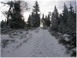 41
41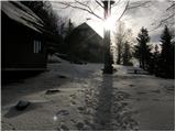 42
42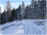 43
43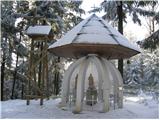 44
44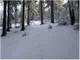 45
45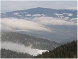 46
46 47
47
Discussion about the trip Slovenj Gradec - Kremžarjev vrh
|
| Berstuk22. 02. 2021 |
Everything OK, just shorten the path duration by 30 minutes.
|
|
|
|
| mpp22. 02. 2021 |
Status 2021: Hofer has a barrier, next to it towards Dravograd is a Spar shopping complex, free parking
|
|
|
|
| djimuzl23. 02. 2021 |
The cemetery is located on the outskirts of the town in the direction towards Kotlje.
|
|
|
To post a comment you must log in:
If you do not yet have a username, you must first
register.