Slivnica pri Mariboru - Ruška koča na Arehu
Starting point: Slivnica pri Mariboru (282 m)
| Latitude/Longitude: | 46,47751°N 15,65374°E |
| |
Walking time: 4 h 10 min
Difficulty: easy marked way
Elevation gain: 964 m
Elevation difference along the route: 1015 m
Map: Pohorje 1:50.000
Recommended equipment (summer):
Recommended equipment (winter): ice axe, crampons
Views: 126
 | 1 person like this post |
Access to starting point:
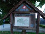
We drive to Slivnica pri Mariboru, where at the Slivnica Kindergarten the described path begins. We park in a suitable parking lot nearby, but some parking spaces are reserved solely for kindergarten employees and visitors. We can also park a few minutes away by the cemetery.
Route description:
The beginning of the described path leads through an area where lingering is prohibited between 10 p.m. and 6 a.m.
By the kindergarten, we notice signposts for the Mariborska koča, which direct us to a path that continues to the left of the kindergarten, then we proceed alongside the sports fields. After a few minutes, we leave the restricted area and arrive at Castle Slivnica, which is in an abandoned and decaying state, but we continue to the left, and behind a nearby house, we veer slightly to the right onto a marked path that ascends diagonally above the road. After a short diagonal ascent, from where a view opens up to the surrounding settlements, we return to the asphalt road, follow it to the right, enter the forest, and shortly after reach a marked intersection, where we continue to the right on a marked road. Just a little further, the road splits again, but this time we choose the upper road, which leads us past a few more houses before it ends, and we continue the ascent on a cart track that climbs through the forest.
Higher up, we reach the edge of the forest, where we bypass a nearby farm on the right side, then arrive at a macadam road on which we continue, or partly follow a parallel marked path. Higher up, we leave the forest, and a beautiful view opens up, with the city of Maribor clearly visible to the right below. When we reach an asphalt road a little further on, we turn left, and from the next intersection in the settlement of Šestdobe, we enter a dead-end street, follow it for a few steps, then turn right and ascend onto a forested ridge.
When we return to the asphalt road, we continue to the left, and a few minutes further, at a wooden sculpture, we join the marked path from Fram.
We continue straight towards the Mariborska koča (left Fram) and ascend moderately, mostly through the forest; when we leave the forest, we descend to the farm Plahutnik, where we continue straight from the intersection on a marked cart track that climbs through a hay meadow. Higher, we cross a strip of forest and arrive at the hospital for lung diseases, behind which we cross a wider asphalt road. We again ascend through a strip of forest, and when we return to the wider road, we follow it to the right, and from it, just before the left bend, we go left on a cart track which cuts the mentioned longer bend. When we step on the road again, we cross it once more and ascend a few stairs to a macadam road, which we follow left upwards. There follows some ascent on the macadam road, which soon flattens and leads us past the Dom Planinka and a few houses to Petkovo sedlo, where there is a marked junction.
On Petkovo sedlo, we join the path from Pivola, and the path splits. Along a slightly left road, the path continues toward the Skalca waterfall; slightly to the right, a road leads to hotel Tisa; to the right, a path leads to a hunting cottage, but we continue straight toward Mariborska koča.
We continue through a meadow between two roads, then the path enters the forest, where we follow the blazes. Higher up, we cross the main road toward hotel Bellevue once more, and a little further, we leave the forest. We continue past the cross, and when we reach the asphalt road, from the marked junction we proceed left towards Mariborska koča, arriving in a few minutes of further walking.
We bypass the cottage on the left side, then continue right toward the Ruška koča na Arehu.
A short ascent follows, and we reach a road on which we continue the climb. The road splits slightly higher up, and we continue slightly left (slightly right toward Log and Bistrica ob Dravi). A few minutes higher, we reach a marked path leading through the Mariborski razglednik, but we turn left here and continue along a wider cart track that leads through the forest. A little further, a path branches off to the left towards hotel Zarja, but we continue straight in the direction of Ruška koča. This is followed by some diagonal ascent on the slopes of the peak Sedovec, and then we descend to a small saddle, where a path from the settlement Fram joins us.
We continue straight, mainly gently ascending along a macadam road that leads us past some graveyards. After some time, we reach the main road towards Areh, continue briefly alongside it, and then turn slightly left onto a footpath, which quickly leads us to the church of St. Areh.
From the church, we cross a meadow and we are already at Ruška koča na Arehu.
Starting point - Mariborska koča 3:00, Mariborska koča - Ruška koča 1:10.
Description and pictures refer to the condition in the years 2022, 2023, and 2025.

Photos:
 1
1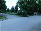 2
2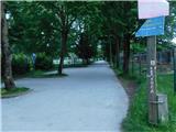 3
3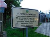 4
4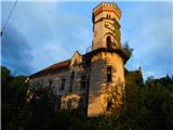 5
5 6
6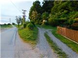 7
7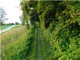 8
8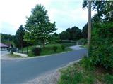 9
9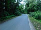 10
10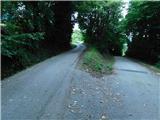 11
11 12
12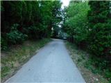 13
13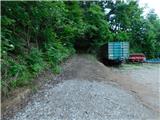 14
14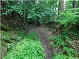 15
15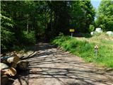 16
16 17
17 18
18 19
19 20
20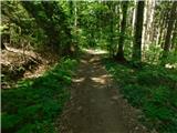 21
21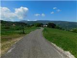 22
22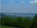 23
23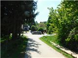 24
24 25
25 26
26 27
27 28
28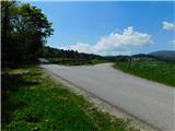 29
29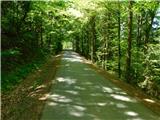 30
30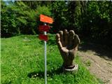 31
31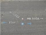 32
32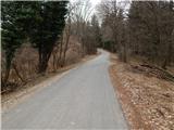 33
33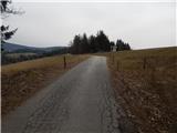 34
34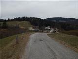 35
35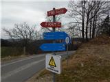 36
36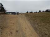 37
37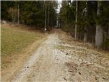 38
38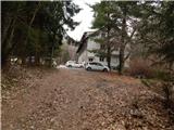 39
39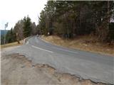 40
40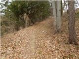 41
41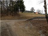 42
42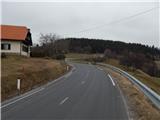 43
43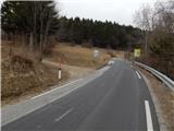 44
44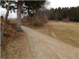 45
45 46
46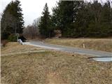 47
47 48
48 49
49 50
50 51
51 52
52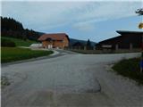 53
53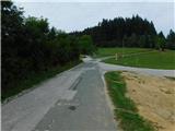 54
54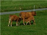 55
55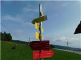 56
56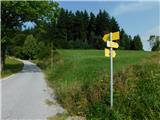 57
57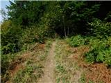 58
58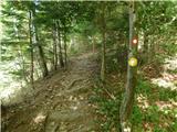 59
59 60
60 61
61 62
62 63
63 64
64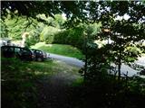 65
65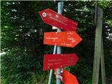 66
66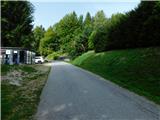 67
67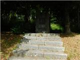 68
68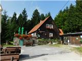 69
69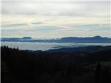 70
70 71
71 72
72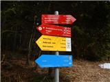 73
73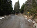 74
74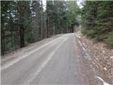 75
75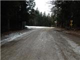 76
76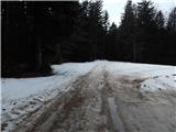 77
77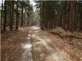 78
78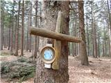 79
79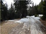 80
80 81
81 82
82 83
83 84
84 85
85 86
86 87
87 88
88 89
89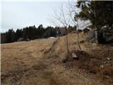 90
90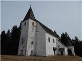 91
91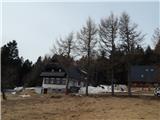 92
92
Discussion about the trip Slivnica pri Mariboru - Ruška koča na Arehu
To post a comment you must log in:
If you do not yet have a username, you must first
register.