Škofja Loka - Lubnik (via Luža)
Starting point: Škofja Loka (348 m)
| Latitude/Longitude: | 46,1669°N 14,309°E |
| |
Route name: via Luža
Walking time: 2 h
Difficulty: easy marked way
Elevation gain: 677 m
Elevation difference along the route: 700 m
Map: Škofjeloško in Cerkljansko hribovje 1:50.000
Recommended equipment (summer):
Recommended equipment (winter): crampons
Views: 36.185
 | 3 people like this post |
Access to starting point:
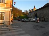
From Ljubljana, Kranj or Gorenja vas we drive to Škofja Loka and park on one of the parking lots near the Loški grad castle.
Route description:
From the starting point we first walk to the Loški grad castle, then continue the ascent on a marked and initially still asphalted road. The road soon loses the asphalt covering and brings us to panoramic grassy slopes. With increasingly beautiful views of Lubnik, Škofja Loka and Kamnik-Savinja Alps, in a few minutes of additional walking we walk to the panoramic board on Kranclj.
From the panoramic board the road descends to the Grebenar homestead, from where we continue the ascent on a macadam road in the direction of Lubnik. After a short ascent we step into the forest, where the road changes into a cart track. A few minutes of walking through the forest follow, then the path descends to the nearby road which leads from Škofja Loka towards Gabrovo and Breznica.
We reach the road right at the hairpin turn, where there are a few parking lots, and we continue straight on the marked path in the direction of Lubnik via Luža (left on the road Lubnik via Gabrovo, right Stari grad). The path ahead steeply ascends a forested ridge and then gradually passes from the ridge to a slope, where it continues steeply ascending for some time. Higher the path flattens and from the right the path from Stari grad castle joins us. We continue straight, and the path brings us out of the forest onto a grassy slope, from which a nice view opens up. The path further crosses a short strip of forest and then brings us onto a wide cart track, on which we walk to the village Gabrovo. Through the village we follow the blazes, and the path first leads on asphalt, then also on macadam road. Above the village the path leaves the road and turns slightly to the right into the forest, through which it starts to ascend steeply. Higher the path gradually flattens and eventually joins a wide cart track, which the marked path crosses a few times. A few minutes of walking follow and the path, which ascends moderately to steeply, quickly brings us to the summit of Lubnik.

Photos:
 1
1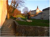 2
2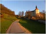 3
3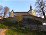 4
4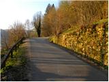 5
5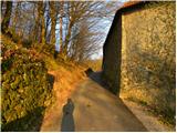 6
6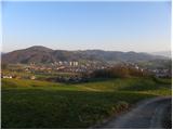 7
7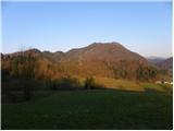 8
8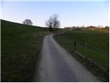 9
9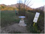 10
10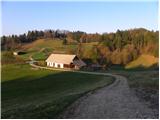 11
11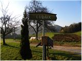 12
12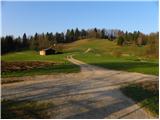 13
13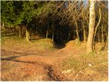 14
14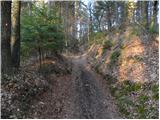 15
15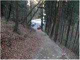 16
16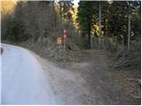 17
17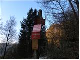 18
18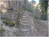 19
19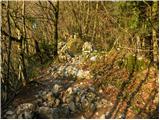 20
20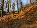 21
21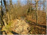 22
22 23
23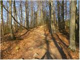 24
24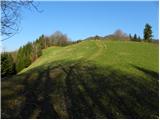 25
25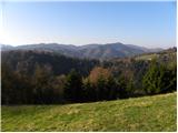 26
26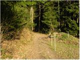 27
27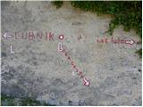 28
28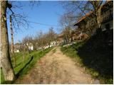 29
29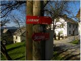 30
30 31
31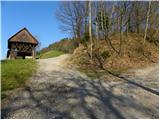 32
32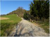 33
33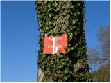 34
34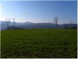 35
35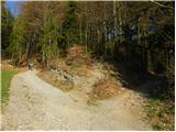 36
36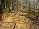 37
37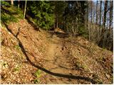 38
38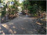 39
39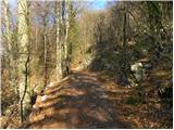 40
40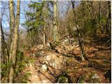 41
41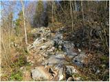 42
42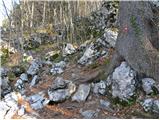 43
43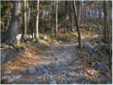 44
44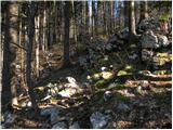 45
45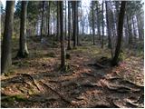 46
46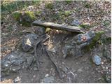 47
47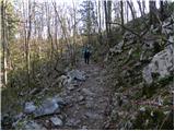 48
48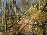 49
49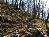 50
50 51
51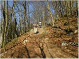 52
52 53
53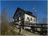 54
54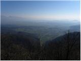 55
55 56
56
Discussion about the trip Škofja Loka - Lubnik (via Luža)
|
| ločanka2. 01. 2017 |
This is the most classic path to Lubnik, the starting point can also be at the Najdihojca kindergarten (at least I do it that way), same as for the ridge path. The time is a bit exaggerated, I'd rate it an hour and a half.
|
|
|
|
| sirt15. 01. 2017 |
The best variant is the bus station. Then ridge up, this one via Lužo down, makes a nice loop.
|
|
|
|
| tango28. 02. 2019 |
Up via Luža and down via Grebenska, then another shortcut to Stari grad and back to Loka in quite strong wind. Great, and many are aware of it whose children have holidays this week, as there was a real column from Nacet upwards.
|
|
|
|
| TrmaD28. 04. 2024 20:57:26 |
Today we went via Luža to Lubnik to strengthen our knees.
Pleasant hike, also many hikers, despite somewhat cloudy weather beautiful views. Nice trip.
|
|
|
To post a comment you must log in:
If you do not yet have a username, you must first
register.