Skaručna - Smledniški hrib (Stari grad) (via Zapoški hrib)
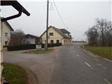
Starting point: Skaručna (332 m)
| Latitude/Longitude: | 46,1552°N 14,4792°E |
| |
Route name: via Zapoški hrib
Walking time: 1 h 40 min
Difficulty: easy marked way
Elevation gain: 185 m
Elevation difference along the route: 235 m
Map: Ljubljana - okolica 1:50.000
Recommended equipment (summer):
Recommended equipment (winter): crampons
Views: 6.418
 | 2 people like this post |
Access to starting point:
A) From the highway Ljubljana - Jesenice, we take the exit Ljubljana - Šmartno and follow the road to the mentioned settlement, where we turn right onto the road that leads towards Vodice. Along the mentioned road, we drive to the place Skaručna, where just a little after the inn Skaručna we arrive at the NOB monument, which we notice on the right side of the road. Just a little further ahead, we leave the main road and continue driving left onto the narrower asphalt road that leads towards the underpass below the highway. When we reach the other side of the highway, we park in a suitable place by the road.
B) From the highway Jesenice - Ljubljana, we take the exit Vodice and continue driving towards Vodice. At the traffic-light intersection in Vodice, we continue right towards Skaručna. When we arrive at Skaručna, we pay attention to the right branch-off of the road, which is located at the end of a slight left bend. At the intersection where we leave the main road, there is a power line pole and next to it an electrical cabinet. The side road then leads us past a few houses, after which we arrive at the underpass below the highway. On the other side of the highway, we park in a suitable place by the road.
Route description:
From the starting point, we continue on the forest road which leads us over a small bridge, after which it splits into two parts. Some sort of "main" road turns first left and then right, "side" road right behind the bridge turns right, and we continue straight into the forest, where we notice old signs for Stari grad - path over Zapoški hrib. The gently sloping path continues through the forest, which after a few minutes brings us to a cart track, which we reach right at the junction. We continue straight and further follow the path along which there are some faded blazes and a few more unofficial ones in the form of three lines, or the Slovenian flag without a coat of arms (white, blue and red). We continue on the mentioned cart track for a short time, then on one of the trees we notice barely visible signs (arrow on the tree), which direct us right onto a poorly visible and further quite overgrown path. The path ahead runs almost horizontally for some time, then begins to ascend moderately. Higher up, we step onto a cart track and follow it to the left, aided also by an inscription or wooden signpost for Stari grad. On the cart track we walk only a few dozen steps, then continue right onto a completely overgrown path, which first ascends through high grass, then also through a belt of overgrown bushes. Above the bushes we step into the forest, where the path becomes clearer and less overgrown, and we arrive at a marked junction in a few minutes, where we join the path from the place Repnje.
From the junction we continue left towards Stari grad (right Repnje and church of St. Tilen), where we quickly arrive at the rest area at Črt and the NOB memorial plaque, which is erected in memory of the mentioned Črt. Several well-marked junctions follow, and from all of them we continue towards Stari grad. Higher up we step out of the forest and the path leads us to the logbook box, from which we continue straight (right Breclov klanec (also via Breclov klanec we can reach Stari grad, as the paths join later)) along the gentle path, which soon widens into a wide cart track. On the cart track we gradually begin to descend, and we "overlook" first the right branch-off (path over Šternov hrib 515 m and path to Rakov hrib), then also the left one, which leads towards "Dnevni". Just a little further we step onto a wide macadam road, where the path from Valburga joins from the left, and from the right the path over Šternov hrib).
We continue along the ascending road, along which in a few minutes we arrive at the refreshment hut Stari grad and a few steps higher to the summit of Smledniški hrib, on which stand the renovated ruins of Stari grad.

Photos:
 1
1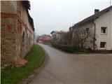 2
2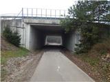 3
3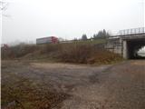 4
4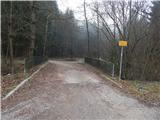 5
5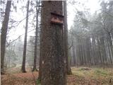 6
6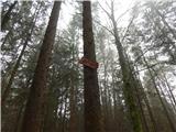 7
7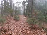 8
8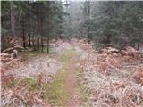 9
9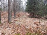 10
10 11
11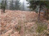 12
12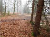 13
13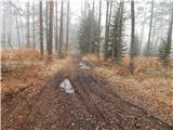 14
14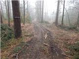 15
15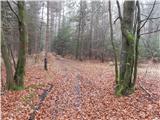 16
16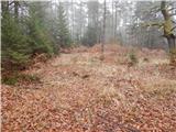 17
17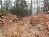 18
18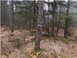 19
19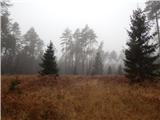 20
20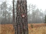 21
21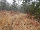 22
22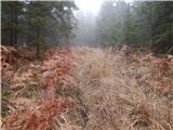 23
23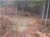 24
24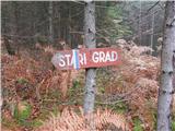 25
25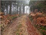 26
26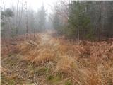 27
27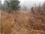 28
28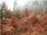 29
29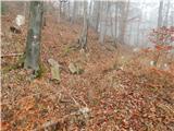 30
30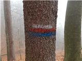 31
31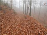 32
32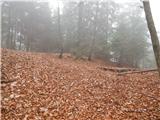 33
33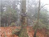 34
34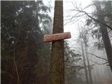 35
35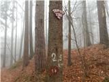 36
36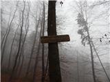 37
37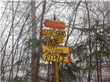 38
38 39
39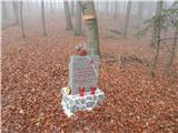 40
40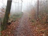 41
41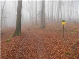 42
42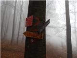 43
43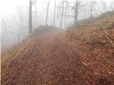 44
44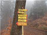 45
45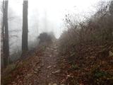 46
46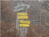 47
47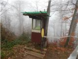 48
48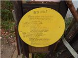 49
49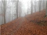 50
50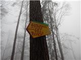 51
51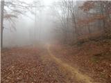 52
52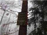 53
53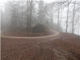 54
54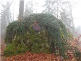 55
55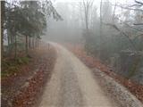 56
56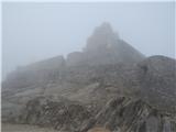 57
57 58
58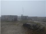 59
59
Discussion about the trip Skaručna - Smledniški hrib (Stari grad) (via Zapoški hrib)
|
| bobeka8. 11. 2015 |
I think you can change this to easy UNmarked path. We hiked most of the path along quite visible cart tracks, even though we tried to follow the above instructions. Only in the branch where there is tall grass could speak of a trail. But there are tons of junctions between cart tracks with no markings. At those two junctions where there actually are markings, they are quite hidden. The tour itself is really easy and, when you don't need to watch for markings  , quite scenic, great for autumn. Summit in nice weather worth the effort. , quite scenic, great for autumn. Summit in nice weather worth the effort.
|
|
|
|
| janca13. 04. 2016 |
I agree with the previous entry. Path markings end at picture no. 13. Right there extensive logging was carried out and full of tracks in all directions. The path took us cca 2.5 hours. With a highland terrier (small legs and already a bit aged, but in good condition) we crawled through ferns, fallen trees and terribly muddy tracks, finally GPS led us directly uphill on some long-abandoned hunting path. At the end though - sun and very nice view of the surrounding villages
|
|
|
To post a comment you must log in:
If you do not yet have a username, you must first
register.