Sele pri Cerkvi / Zell - Pfarre - Mejnik
Starting point: Sele pri Cerkvi / Zell - Pfarre (948 m)
| Latitude/Longitude: | 46,4717°N 14,3878°E |
| |
Walking time: 1 h 55 min
Difficulty: easy unmarked way
Elevation gain: 569 m
Elevation difference along the route: 575 m
Map: Karavanke - osrednji del 1:50.000
Recommended equipment (summer):
Recommended equipment (winter): ice axe, crampons
Views: 2.019
 | 1 person like this post |
Access to starting point:
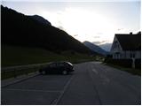
From the highway Ljubljana - Jesenice we go to the exit Ljubelj (Tržič), and then we continue driving in the direction of Celovec / Klagenfurt. After the Ljubelj tunnel the road starts descending, and we follow it to the crossroad, where slightly right and downwards the road towards the settlement Borovlje / Ferlach branches off. The road which is still descending quickly brings us to the mentioned settlement, where we soon cross the railway track. Only a little after the track we join the other road, which we follow to the right, and we drive on it in the direction of the settlement Sele / Zell - Pfarre. When we get to the mentioned settlement we park on the parking lot opposite the church.
Route description:
From the parking lot, we return on the main road towards Borovlje, and then still before the end of the village, we notice signs for the mountain hut Koča pod Košuto, which point us to the left on the road which leads to the yard of the nearby houses. Behind the houses, the path passes on a cart track, and it ascends diagonally through a meadow, from which a nice view opens up on Setiče / Freiberg. After a few minutes of the ascent, we get to a hamlet with a few houses, where we step onto the initially still asphalt road which leads towards the mountain hut Koča pod Košuto. For a short time, we walk on the asphalt road, from which a nice view opens up to the walls of Košuta, and then the road passes into the forest and loses the asphalt covering. On the macadam road which higher leads past a smaller waterfall, we walk to a marked crossing, where from the right joins the marked path from the homestead Ridovc / Ridovcsäge.
On the mentioned spot, we leave the road and continue left into a steep hill, on which a steep footpath leads us through the forest. Higher, we return to the road, and on it we arrive out of the forest into Mrzli log.
From here we can continue right on the marked path which continues along the bottom of the valley, or on the parallel macadam road. Wherever we continue, we will after approximately 15 minutes of additional walking come to the mountain hut Koča pod Košuto.
From the hut we continue left into the forest, where the path quickly brings us to a marked crossing. From the crossing, we continue left (right Ridovc / Ridovcsäge, Malejska planina / Malealm, saddle Pešinca / Pischenzasattel...) in the direction of Cjajnik / Lärchenturm and Košutnikov turn / Koschutnikturm on the path which ascends diagonally towards the left. After a few minutes we get to the next crossing, where we continue straight in the direction of Košutnikov turn (right Cjajnik).
Further on, the path starts to ascend somewhat more and with occasional views of the walls of Košuta brings us to the saddle Mejnik / Mejniksattel, where we leave the marked path.
From the saddle, we continue left on an initially easy-to-follow forest footpath, on which we very quickly get to pastures, where in the summer season sheep graze. From the pasture a nice view opens up on Obir and on the ridge and walls of Košuta behind us. On the other side of the pasture the path returns into the forest and past a smaller cross brings us to the forest-covered peak, which we recognize by the concrete boundary marker.

Photos:
 1
1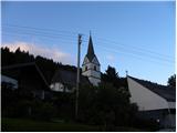 2
2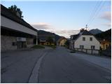 3
3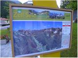 4
4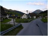 5
5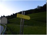 6
6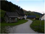 7
7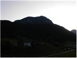 8
8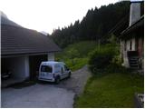 9
9 10
10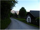 11
11 12
12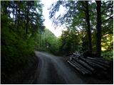 13
13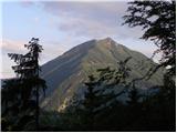 14
14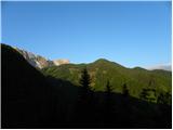 15
15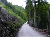 16
16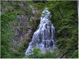 17
17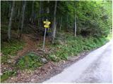 18
18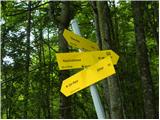 19
19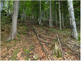 20
20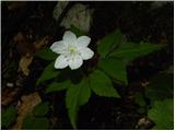 21
21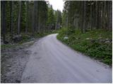 22
22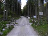 23
23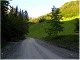 24
24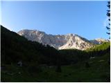 25
25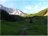 26
26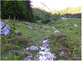 27
27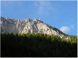 28
28 29
29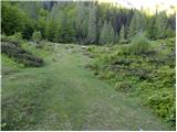 30
30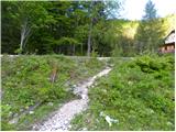 31
31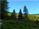 32
32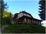 33
33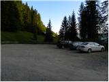 34
34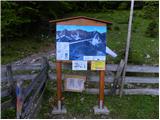 35
35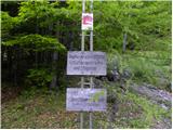 36
36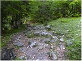 37
37 38
38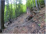 39
39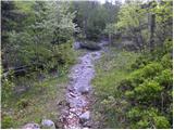 40
40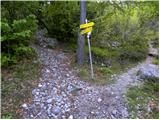 41
41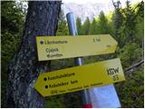 42
42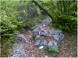 43
43 44
44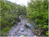 45
45 46
46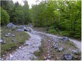 47
47 48
48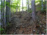 49
49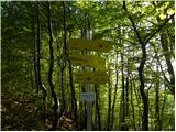 50
50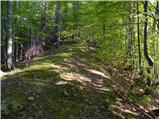 51
51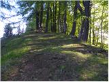 52
52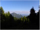 53
53 54
54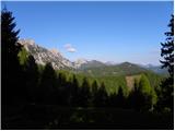 55
55 56
56 57
57 58
58 59
59 60
60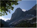 61
61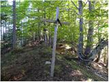 62
62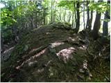 63
63 64
64
Discussion about the trip Sele pri Cerkvi / Zell - Pfarre - Mejnik
To post a comment you must log in:
If you do not yet have a username, you must first
register.