Starting point: Rodine (544 m)
| Latitude/Longitude: | 46,3825°N 14,1748°E |
| |
Walking time: 55 min
Difficulty: easy unmarked way
Elevation gain: 323 m
Elevation difference along the route: 325 m
Map: Karavanke - osrednji del 1:50.000
Recommended equipment (summer):
Recommended equipment (winter): crampons
Views: 3.300
 | 1 person like this post |
Access to starting point:
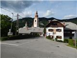
We leave Gorenjska highway at exit Lesce, after that from the roundabout we go to the exit in the direction of Radovljica. From the next roundabout we go to the exit Hraše, and then we drive through the underpass below the highway, and then we already get to Hraše. Through Hraše we continue straight, and at the crossroads, we follow the main road. After Hraše the road leads us below the high voltage power line, after that from the next crossroad we continue straight. Next follows driving on a narrower asphalt road, and then we get to Rodine and a little further to a crossroad by the birth house of Janez Jalen, where the described footpath starts. At the starting point, there aren't any parking spots.
We can also get to the starting point from Žirovnica or Begunje na Gorenjskem.
Route description:
The path at first leads past Jalen's birth house and church of St. Klemen, and at the crossroads, we follow the road in the direction of the path Pot kulturne dediščine Žirovnica. Higher, the road leads us also past children's playground and recycling spot, and then we get to the upper edge of the village, where we cross a metal grazing fence. On the other side of the fence we continue on a cart track which leads us through the pasture, and by the edge of the forest turns left and entirely flattens. For a short time we continue by the edge of the forest and then the path turns slightly to the right in the forest. Through the forest, we are ascending diagonally towards the left and then we quickly reach another cart track, on which we are ascending only a few steps. After a few steps, we go right, on the path which is further ascending diagonally towards the right. This moderately steep path, which most of the time runs through the forest, we then follow all the way to Sankaška koča, from which a beautiful view opens up.
Description and pictures refer to a condition in the year 2017 (August).

Photos:
 1
1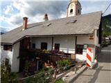 2
2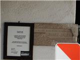 3
3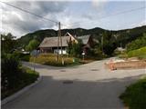 4
4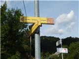 5
5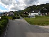 6
6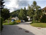 7
7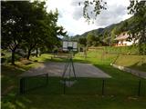 8
8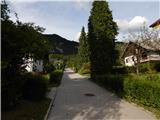 9
9 10
10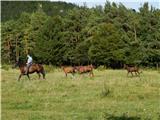 11
11 12
12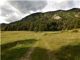 13
13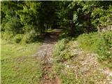 14
14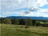 15
15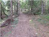 16
16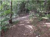 17
17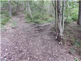 18
18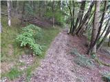 19
19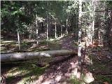 20
20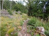 21
21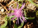 22
22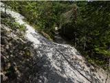 23
23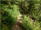 24
24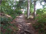 25
25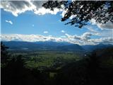 26
26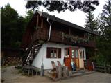 27
27
Discussion about the trip Rodine - Sankaška koča
To post a comment you must log in:
If you do not yet have a username, you must first
register.