Reißkofelbad - Reißkofel Biwak
Starting point: Reißkofelbad (988 m)
| Latitude/Longitude: | 46,6659°N 13,1395°E |
| |
Walking time: 2 h 15 min
Difficulty: easy marked way
Elevation gain: 811 m
Elevation difference along the route: 811 m
Map:
Recommended equipment (summer):
Recommended equipment (winter):
Views: 2.932
 | 1 person like this post |
Access to starting point:
From Beljak/Villach we drive towards Hermagor and further towards Lienz, but only to the village Reisach. In the mentioned village, we turn right and follow the ascending road to the Pension Reißkofelbad near which we park.
Route description:
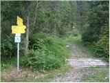
By the road near the cottage we will notice signposts, which point us to the left on a footpath (signs Reißkofel Biwak). After a few meters of walking, we come to a crossing where we go left (signs Schmalzgruben Welzberg). After a short descent, we are again at a crossing, this time we go right following the signs Ochsenschlucht Alm (path 233). The path then starts ascending through the forest and brings us to a meadow. The path runs on the right side of the meadow and then past a few houses brings us to signposts (we follow the signs for Reißkofel Biwak). We again ascend through a meadow, this time on the left side. At the end of the meadow the path turns right into the forest and first ascends on a worse cart track, which quickly turns into a footpath. The path then steeply ascends through the forest for quite some time and a few times crosses a mountain road. In the last part of the path towards the bivouac we come out of the forest onto grassy slopes, where nice views open up on the neighbouring Torkofel and on the Carnic Alps.

Photos:
 1
1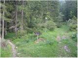 2
2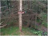 3
3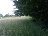 4
4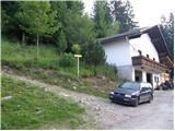 5
5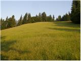 6
6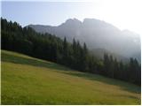 7
7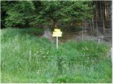 8
8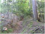 9
9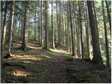 10
10 11
11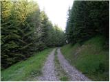 12
12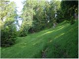 13
13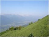 14
14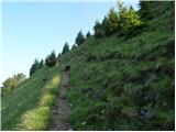 15
15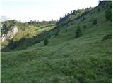 16
16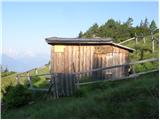 17
17
Discussion about the trip Reißkofelbad - Reißkofel Biwak
To post a comment you must log in:
If you do not yet have a username, you must first
register.