Reichenfels (most čez Labotnico / Lavant) - Peterer Kogel (via Höllgraben)
Starting point: Reichenfels (most čez Labotnico / Lavant) (770 m)
| Latitude/Longitude: | 47,00137°N 14,75349°E |
| |
Route name: via Höllgraben
Walking time: 4 h 15 min
Difficulty: easy pathless terrain
Elevation gain: 1073 m
Elevation difference along the route: 1105 m
Map: WK 212 (Seetaler & Seckauer Alpen 1:50.000)
Recommended equipment (summer):
Recommended equipment (winter): ice axe, crampons
Views: 108
 | 1 person like this post |
Access to starting point:
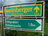
We leave the highway Klagenfurt am Wörthersee - Graz at the exit Bad St. Leonhard im Lavanttal, and then we follow the signs for Zeltweg and Reichenfels. At the beginning of the settlement Reichenfels (the main road does not lead through the settlement), near the F. Leitner gas station, which is on the left side, we turn right towards Höllgraben and Kelzerquelle. Here, at the crossroads before the bridge over the Lavant river, there are yellow hiking signposts. There are no designated parking spaces at the starting point, but we can park at one of the parking lots in the center of Reichenfels, which extends the walk by about 15 minutes.
Route description:
From the main road we cross the bridge over the river Labotnica / Lavant, the road first leads us through forest, then along pastures and meadows of a nearby farm. A little further on, we pass through an underpass beneath the railway line, then reach a marked junction by a small chapel.
We continue along the left road, which has no signs for the Peterer Hütte (the normal route to the hut branches right, passing the farms Hanslbauer, Pirker and Fuchs), but the blazes continue.
The path ahead continues alongside the stream; at the next junction we turn right (left leads to the Kölzerquelle spring), then ascend through the gorge Höllgraben, continuing straight at several minor junctions.
Higher up we turn right again (left to the farms Stocker and Primus), and the path takes us past the farm Loffner.
Beyond the farm we join the previously mentioned normal route; we turn left towards the mountain pasture Peterer Alm. Next comes an ascent alongside a fence by a pasture, offering a fine view when looking back, then the path enters the forest where we follow the blazes. Higher up we cross a forest road once; the second time we reach it, we follow the road for a while. When higher up the road makes a sharp turn to the right, we leave it and continue straight onto the marked path, which turns right and ascends quite steeply diagonally across a panoramic clearing. When we rejoin the road we follow it to the left, after which we cross the road several times using marked shortcuts. When the frequent road crossings finally end, the path becomes gentler and continues mostly traversing the slopes to the right. Later another path joins from the right from the settlement Bad St. Leonhard im Lavanttal; our route then has a few more junctions where we simply follow the blazes. The path now begins to climb a little more steeply again; once we leave the forest we quickly reach the Peterer Hütte.
We continue past the cottage and follow the signs for Peterer Riegel, Salzstiegel, Görlitzer Alm and several other destinations. For a few minutes we continue along the road, then turn left onto a marked path that first ascends diagonally through sparse forest and then begins to climb the panoramic grassy slopes. Higher up, we cross a narrow belt of forest, and beyond this belt the path splits.
We continue on the left path towards the summit of Peterer Riegel (straight ahead leads to Görlitzer Alm) and ascend diagonally to the saddle between the summit of Peterer Kogel on the left and Peterer Riegel on the right.
Here we leave the marked path, which continues toward Peterer Sattel (slightly right) and the path to the summit of Peterer Riegel (right), and instead continue left along an easier pathless ridge. This is followed by about 10 minutes of gentle ascent, after which we reach the panoramic grassy summit of Peterer Kogel.
Starting point – Peterer Hütte 3:30, Peterer Hütte – Peterer Kogel 0:45.
The description and photographs reflect conditions in October 2025.

Photos:
 1
1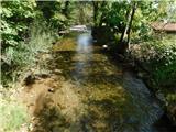 2
2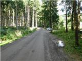 3
3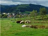 4
4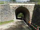 5
5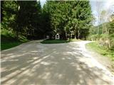 6
6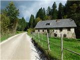 7
7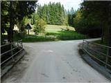 8
8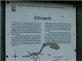 9
9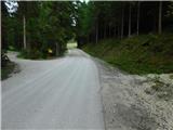 10
10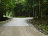 11
11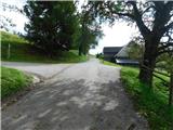 12
12 13
13 14
14 15
15 16
16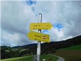 17
17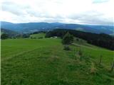 18
18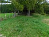 19
19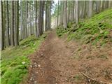 20
20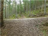 21
21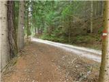 22
22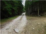 23
23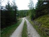 24
24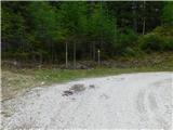 25
25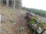 26
26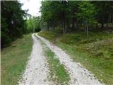 27
27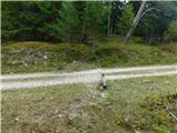 28
28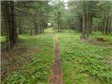 29
29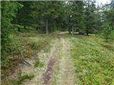 30
30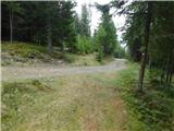 31
31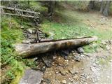 32
32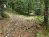 33
33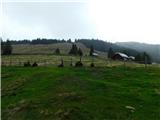 34
34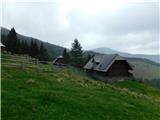 35
35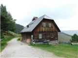 36
36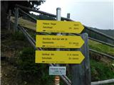 37
37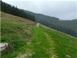 38
38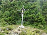 39
39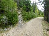 40
40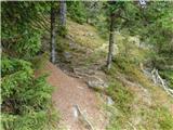 41
41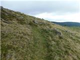 42
42 43
43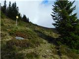 44
44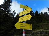 45
45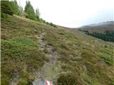 46
46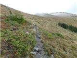 47
47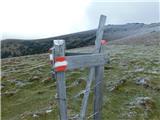 48
48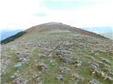 49
49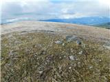 50
50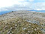 51
51
Discussion about the trip Reichenfels (most čez Labotnico / Lavant) - Peterer Kogel (via Höllgraben)
To post a comment you must log in:
If you do not yet have a username, you must first
register.