Radušnik - Koča na Loki pod Raduho
Starting point: Radušnik (1040 m)
| Latitude/Longitude: | 46,3947°N 14,7617°E |
| |
Walking time: 1 h 30 min
Difficulty: easy marked way
Elevation gain: 494 m
Elevation difference along the route: 494 m
Map: Kamniške in Savinjske Alpe 1:50.000
Recommended equipment (summer):
Recommended equipment (winter):
Views: 13.674
 | 1 person like this post |
Access to starting point:
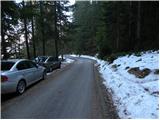
From Mozirje we drive towards Logarska dolina, but only to the village Strmec (village between Ljubno and Luče), where signs for Snežna jama on Raduha point us to the right on a narrower ascending road. We then follow the mentioned road to a marked crossroad (the crossroad is located at an altitude of approximately 750 m), where signs for Luče (panoramic road) point us to the left (right Snežna jama). The road further ascends for some time, then brings us to a smaller hamlet, where we continue sharply right towards the farm Radušnik. Here the road ascends even steeper for a short time, then flattens a little and in a moderate ascent brings us to the farm Radušnik. Because in front of the mentioned farm there are no appropriate parking spots, it is better to park already a little lower, on one of the appropriate places by the road.
Route description:
From the place where we parked, we first walk to the farm Radušnik, then continue on a wide marked cart track, which we follow only for a short time, as signs for Koča na Loki then direct us left onto a somewhat narrower and steeper cart track. Further we ascend on the mentioned cart track, which has some smaller junctions, so we carefully follow the blazes so as not to stray from the right path. Higher the cart track temporarily changes into a steep footpath, then we join another cart track, on which in a few minutes of further walking we reach a forest road, which we only cross. Here a path from the mountain pasture Kosmačeve Rastke joins from the right, and we continue on a somewhat wider cart track, which further ascends gently to occasionally moderately. Higher the path brings us to the road leading towards Snežna jama, which we reach exactly at the spot where a forest road closed to public traffic branches off to the right upwards, on which in 15 minutes of further walking we arrive at Koča na Loki pod Raduho.

Photos:
 1
1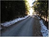 2
2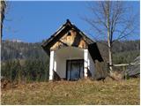 3
3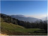 4
4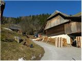 5
5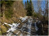 6
6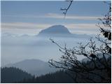 7
7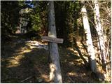 8
8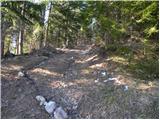 9
9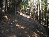 10
10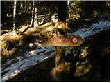 11
11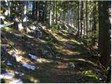 12
12 13
13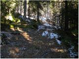 14
14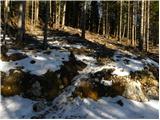 15
15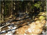 16
16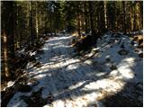 17
17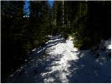 18
18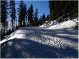 19
19 20
20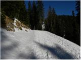 21
21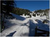 22
22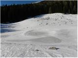 23
23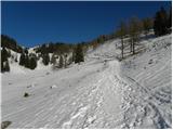 24
24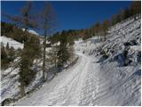 25
25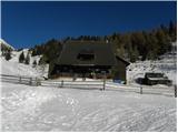 26
26 27
27
Discussion about the trip Radušnik - Koča na Loki pod Raduho
|
| radegunda9. 12. 2015 |
Is the road from Strug to the parking spot fully asphalted? Greeting
|
|
|
|
| biba10. 12. 2015 |
I think it is. best regards
|
|
|
|
| di15. 06. 2025 07:54:13 |
The marked path is poorly marked.
Because there are several paths made (not on maps), it's easy to get lost.
|
|
|
To post a comment you must log in:
If you do not yet have a username, you must first
register.