Radeljski prelaz - Kapunerhütte
Starting point: Radeljski prelaz (674 m)
| Latitude/Longitude: | 46,6447°N 15,2062°E |
| |
Walking time: 1 h 20 min
Difficulty: easy marked way
Elevation gain: 329 m
Elevation difference along the route: 360 m
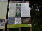
Map: Pohorje - izletniška karta 1:50.000
Recommended equipment (summer):
Recommended equipment (winter): crampons
Views: 403
 | 2 people like this post |
Access to starting point:
We drive to Radlje ob Dravi, and then we continue driving towards the mountain pass Radeljski prelaz. After a few kilometers of ascent we get to the border crossing Radelj, where we park.
Route description:
On the Austrian side of the mountain pass, we notice hiking signposts, including for the mountain hut Kapunerhütte, which point us sharply right on a macadam road. We ascend on the road to the edge of the forest, where we continue left, on the road which is closed for public traffic. For a few minutes we ascend on the road, and then blazes point us slightly to the right on a marked footpath which ascends through a clearing and from which a view opens up a little. Above the clearing, the path passes into the forest and on the Austrian side bypasses the peak Radelj (784 m). During the traverse a nice view opens up temporarily towards Golica / Koralpe, and then the path reaches the state border, by which it continues. Next follows an ascent by the edge of a meadow, where on the left stands a larger private cottage, and with nice views, we ascend to the upper edge of a meadow, where the path returns into the forest. Through the forest, we follow the blazes, and the path at the sign temporarily reaches a cart track.
From the cart track, we go immediately slightly right and we ascend through the next clearing, from where again a nice view opens up, this time a little more on the Slovenian side, where we clearly see Uršlja gora and Peca. Higher, the path for some time runs by a mesh fence, and later it starts slightly descending. Next follows a light diagonal descent and crossing of a cart track, and then we already get to the mountain hut Kapunerhütte.
Description and pictures refer to a condition in the year 2019 (May).

Photos:
 1
1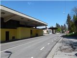 2
2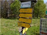 3
3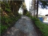 4
4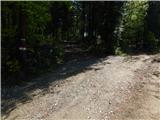 5
5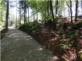 6
6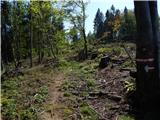 7
7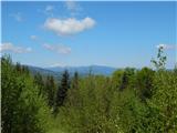 8
8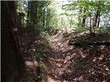 9
9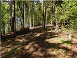 10
10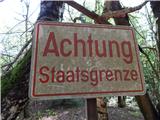 11
11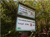 12
12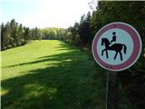 13
13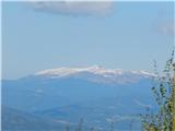 14
14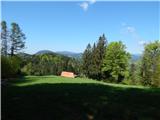 15
15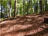 16
16 17
17 18
18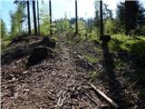 19
19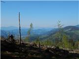 20
20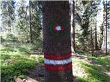 21
21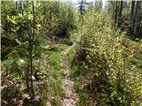 22
22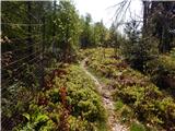 23
23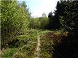 24
24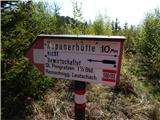 25
25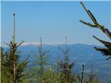 26
26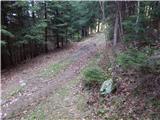 27
27 28
28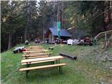 29
29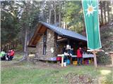 30
30
Discussion about the trip Radeljski prelaz - Kapunerhütte
To post a comment you must log in:
If you do not yet have a username, you must first
register.