Prtovč - Gladki vrh (Ratitovec) (via Razor)
Starting point: Prtovč (1011 m)
| Latitude/Longitude: | 46,2275°N 14,1135°E |
| |
Route name: via Razor
Walking time: 1 h 35 min
Difficulty: easy marked way
Elevation gain: 656 m
Elevation difference along the route: 656 m
Map: Škofjeloško in Cerkljansko hribovje 1:50.000
Recommended equipment (summer):
Recommended equipment (winter): ice axe, crampons
Views: 18.321
 | 1 person like this post |
Access to starting point:
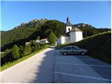
First, we drive to Škofja Loka, and then we continue driving towards Železniki. In Železniki we come to a crossroads, where a road towards Kropa branches off to the right. Here we continue straight and follow the main road only about 100 meters, then signs for Prtovč point us to the right onto an ascending road, which we follow to a large parking lot near the church in the mentioned village.
Route description:
From the parking lot, we walk past the church and NOB monument to the beginning of the village, where we come to a well-marked crossroads. We continue slightly right in the direction of Ratitovec over Razor (left Ratitovec over Poden) on the road which past houses brings us to a wide and well-trodden path.
The marked path goes immediately into the forest and starts ascending transversely over relatively steep slopes. The path higher crosses a poor forest road, only a little after that a marked path from the hunter's hut joins us from the right. We continue in the direction of Ratitovec on a gentle path, which further crosses steep slopes that are dangerous for snow avalanches in the snow. Next, the path turns a little towards the left and starts to ascend more steeply. The steepness soon eases and the path brings us to a smaller plain named Razor, where there is also a junction.
We continue straight (right Kosmati vrh, mountain pasture Klom and Krekova koča over Vratca) on a wide path, which soon turns to the left and starts ascending steeply. The path ahead crosses a short stretch of forest, then brings us to panoramic grassy slopes of Ratitovec. Here the path flattens, turns a little towards the right and with nice views brings us to the Krekova koča on Ratitovec.
From the hut, we continue right on a somewhat steeper path in the direction of Gladki vrh. We then follow this increasingly panoramic path all the way to Gladki vrh, which we reach after 5 minutes of further walking.

Photos:
 1
1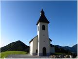 2
2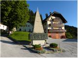 3
3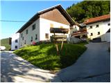 4
4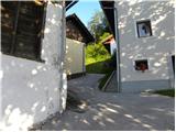 5
5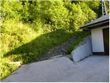 6
6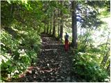 7
7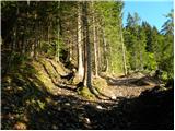 8
8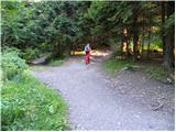 9
9 10
10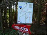 11
11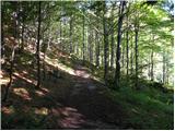 12
12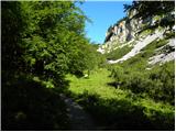 13
13 14
14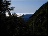 15
15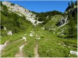 16
16 17
17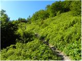 18
18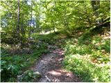 19
19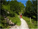 20
20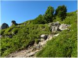 21
21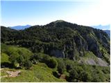 22
22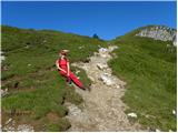 23
23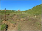 24
24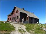 25
25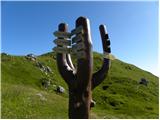 26
26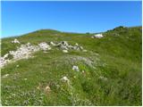 27
27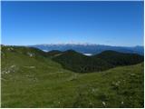 28
28 29
29
Discussion about the trip Prtovč - Gladki vrh (Ratitovec) (via Razor)
To post a comment you must log in:
If you do not yet have a username, you must first
register.