Preval - Polhograjska Grmada
Starting point: Preval (380 m)
| Latitude/Longitude: | 46,0784°N 14,4327°E |
| |
Walking time: 2 h 45 min
Difficulty: easy marked way
Elevation gain: 518 m
Elevation difference along the route: 518 m
Map: Ljubljana - okolica 1:50.000
Recommended equipment (summer):
Recommended equipment (winter): ice axe, crampons
Views: 7.865
 | 1 person like this post |
Access to starting point:
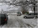
A) From the Ljubljana ring road, take the exit Ljubljana - Podutik, then continue driving towards Podutik. At the traffic light near the parish church in Podutik, continue straight, then gradually start to ascend towards the Preval saddle, where at the crossroads continue right towards Toško čelo (straight Dobrova). From the crossroads, drive a few hundred meters more, then on the right side notice a suitable parking space, where there is space for around 10 cars.
B) From the Ljubljana - Koper highway, take the Brezovica exit, then continue driving towards Dobrova and Polhov Gradec. At the end of Dobrova, signs for Šentvid direct us right onto a narrower road, along which we continue driving. Further on, the road leads through Stranska vas, after which it starts ascending towards Preval. At Preval, go left (straight Šentvid and Podutik) and drive a few hundred meters more, then on the right side notice a suitable parking space, where there is space for around 10 cars.
Route description:
By the parking lot we notice the beginning of the marked path, which initially continues parallel to the asphalt road, then turns somewhat more to the right and ascends somewhat more steeply. Higher up, we cross the road, then a little further on join it again. We follow the road to the left, walking along it to the left bend, from there straight onto a somewhat steeper path, which soon approaches the road completely. We continue right initially along an indistinct ridge, on a path that continues through the forest. The path further crosses the edge of a meadow, after which we arrive at the hunting cottage on Toško čelo.
Just before the cottage we step onto a narrower asphalt road, which first ascends moderately, then begins to descend towards the houses on Toško čelo. When we descend to the main road we continue sharply right in the direction of Katarina (left return to the starting point). We continue on a macadam road, which quickly enters the forest, then continues with some shorter ascents and descents. At a few smaller crossroads we continue along the "main" road, which after some time brings us to the quarry, after which the forest begins to thin. After a somewhat longer descent, a marked path from Gabrje joins from the left, while we continue along the road to the nearby crossroads, by which stands a sign (cross).
Here, to the right branches the road towards Slavkov dom on Golem Brdo, straight ahead continues an unmarked footpath that leads directly to the church of sv. Katarina, to the left branches a marked path that continues along the asphalt road.
Here we continue left and ascend along a gently sloping partly asphalt road to Vaška krčma, by which we notice the next hiking signposts. Here we continue straight (right church of sv. Katarina, Sveti Jakob and Jeterbenk) and join the main road Sora - Dobrova. Along the main road we walk for a short time along a partly panoramic ridge, first still among houses, then arrive at the next crossroads, where we continue slightly right in the direction of the village Belo, Grmada and Tošča.
Along the road we walk for approximately 10 minutes more, then leave the road and continue slightly right in the direction of Grmada. Further we continue along an initially wide cart track, which crosses the slopes without major changes in elevation. After a few minutes of further walking, a relatively steep footpath branches off to the left from the cart track, along which we continue the ascent. After a few minutes the steepness eases and the path brings us to a small saddle, where we continue right (left path to Goljek).
We continue along the path, which with some descents and ascents crosses the slopes towards the west. The path, from which we occasionally get some views, brings us after approximately 1 hour of walking to a junction by which there is a pleasant bench.
We continue straight along the marked path in the direction of Grmada (left Setnica, right tourist farm Gonte). Further the path in a moderate ascent crosses the slopes slightly to the left, then begins to ascend steeply along the summit slope of Grmada, which is dangerous for slipping in snow. The steepness then eases and the path brings us to the panoramic summit ridge of Grmada, from which the summit is only a few steps away.

The trip can be extended to the following destinations: Tošč
Photos:
 1
1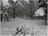 2
2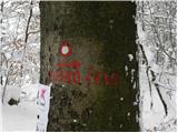 3
3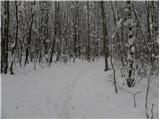 4
4 5
5 6
6 7
7 8
8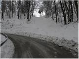 9
9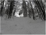 10
10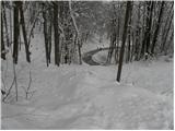 11
11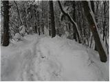 12
12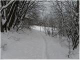 13
13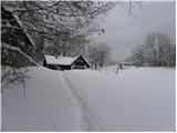 14
14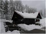 15
15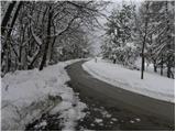 16
16 17
17 18
18 19
19 20
20 21
21 22
22 23
23 24
24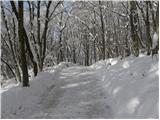 25
25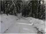 26
26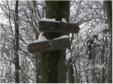 27
27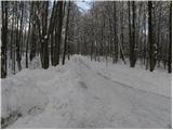 28
28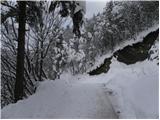 29
29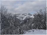 30
30 31
31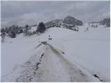 32
32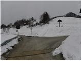 33
33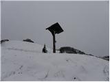 34
34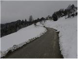 35
35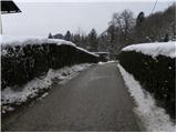 36
36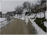 37
37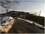 38
38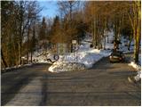 39
39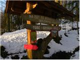 40
40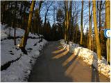 41
41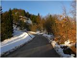 42
42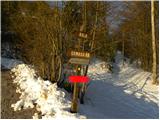 43
43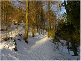 44
44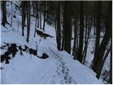 45
45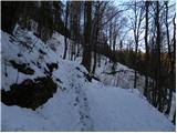 46
46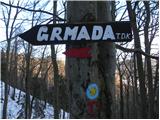 47
47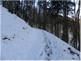 48
48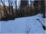 49
49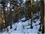 50
50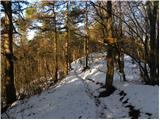 51
51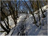 52
52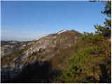 53
53 54
54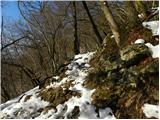 55
55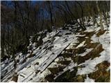 56
56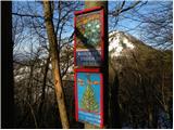 57
57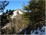 58
58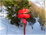 59
59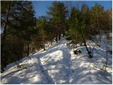 60
60 61
61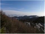 62
62 63
63 64
64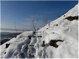 65
65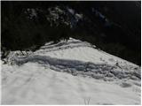 66
66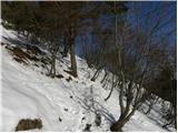 67
67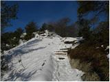 68
68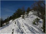 69
69 70
70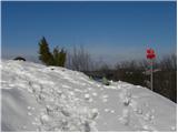 71
71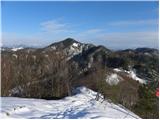 72
72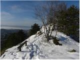 73
73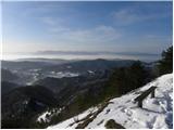 74
74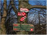 75
75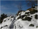 76
76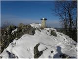 77
77 78
78 79
79
Discussion about the trip Preval - Polhograjska Grmada
To post a comment you must log in:
If you do not yet have a username, you must first
register.