Polhov Gradec (Božna) - Mala Grmada (via Setnica)
Starting point: Polhov Gradec (Božna) (400 m)
| Latitude/Longitude: | 46,0759°N 14,313°E |
| |
Route name: via Setnica
Walking time: 1 h 15 min
Difficulty: easy marked way
Elevation gain: 453 m
Elevation difference along the route: 453 m
Map: Ljubljana - okolica 1:50.000
Recommended equipment (summer):
Recommended equipment (winter): ice axe, crampons
Views: 597
 | 1 person like this post |
Access to starting point:
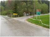
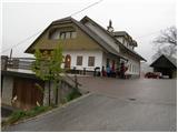
From Horjul or Dobrova we drive to Polhov Gradec, and then we continue driving towards Črni Vrh. Just at the spot where we notice the sign for the end of Polhov Gradec, we continue right in the direction of Mačkov graben and church of St. Ursula. A little past the crossroads we park at a suitable spot beside the road.
Route description:
From the starting point, we continue on the asphalt road which soon brings us to a crossroads, where we continue right in the direction of Setnica (straight Mačkov graben). We continue the ascent on a somewhat steeper road which, after a few minutes of walking, brings us to the spot where we leave the road. The blazes point us slightly to the left onto a footpath which starts to ascend more steeply through the forest. After a few more minutes of walking, we step out of the forest and the path brings us to the open-door farm Pri Mehačku.
Before the farm tourism we continue right on the marked path which leads us past a few more houses; after the houses end, we arrive at a junction where the path to Grmada continues to the right, and to the left a path branches off to St. Ursula.
We continue slightly right on a cart track which starts to ascend gently and enters the forest after just a few steps. Soon after entering the forest, the mountain trail markers for Grmada direct us left onto a footpath which ascends steeply, first through the forest and then over increasingly panoramic grassy slopes. Higher up, the path past St. Ursula joins from the left, and just a little further we reach the summit of Mala Grmada.

Along the route: Pri Mehačku (675m)
Photos:
 1
1 2
2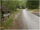 3
3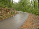 4
4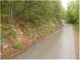 5
5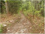 6
6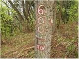 7
7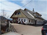 8
8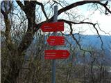 9
9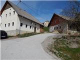 10
10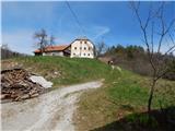 11
11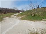 12
1213
14
15
16
17
18
19
 20
20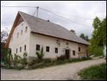 21
21 22
22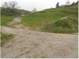 23
23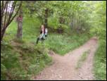 24
24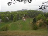 25
25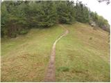 26
26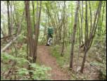 27
27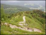 28
28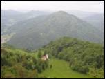 29
29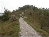 30
30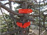 31
31 32
32
Discussion about the trip Polhov Gradec (Božna) - Mala Grmada (via Setnica)
To post a comment you must log in:
If you do not yet have a username, you must first
register.