Starting point: Podmeja (724 m)
| Latitude/Longitude: | 46,1861°N 15,0618°E |
| |
Walking time: 1 h 15 min
Difficulty: easy marked way
Elevation gain: 398 m
Elevation difference along the route: 398 m
Map:
Recommended equipment (summer):
Recommended equipment (winter):
Views: 12.331
 | 1 person like this post |
Access to starting point:
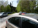
From Savinjska Valley: On the highway Ljubljana - Maribor to the exit Šempeter, where we head towards Prebold and through the town continue driving towards Trbovlje. At the Podmeja pass there are enough parking spaces, where we can leave the car. From Zasavje: Through Trbovlje we follow signposts for Prebold and leave the car at Podmeja.
Route description:
From the Podmeja pass we have two options: the first is the "official" path, which leads past the hunting cottage along a marked path to the ridge and then along the ridge towards Smrekovina (which is boring and brings unnecessary ascents and descents), or we can descend a few meters along the road and go by road to Mrzlica. Both paths join again after approximately 10-15 minutes and we continue along the road. When we come to the beginning of the asphalt we can continue along the road (quite a steep ascent through the forest), or we can turn right through the forest and follow a well-beaten path, which after a few minutes brings us back to the road. Now we continue along the road, which at first ascends quite steeply, but soon flattens and we continue below the ridge. Soon we notice ahead of us the peak of Mrzlica with antennas and the path splits again: right goes straight to the summit (very steep path), left along the road towards the hut. If we want to go to the summit we turn right and continue to the top. From here we can then descend a few meters to the hut.

Photos:
 1
1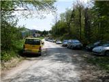 2
2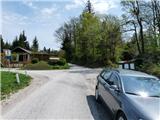 3
3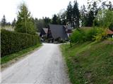 4
4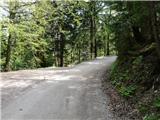 5
5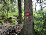 6
6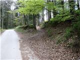 7
7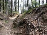 8
8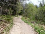 9
9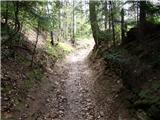 10
10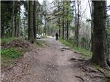 11
11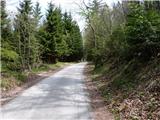 12
12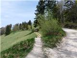 13
13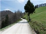 14
14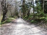 15
15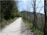 16
16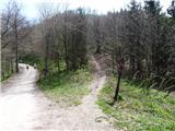 17
17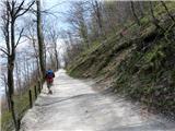 18
18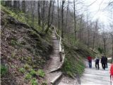 19
19 20
20
Discussion about the trip Podmeja - Mrzlica
To post a comment you must log in:
If you do not yet have a username, you must first
register.