Starting point: Podlanišče (787 m)
| Latitude/Longitude: | 46,1104°N 14,0133°E |
| |
Walking time: 1 h 10 min
Difficulty: easy marked way
Elevation gain: 186 m
Elevation difference along the route: 230 m
Map: Škofjeloško in Cerkljansko hribovje 1:50.000
Recommended equipment (summer):
Recommended equipment (winter): ice axe, crampons
Views: 5.282
 | 2 people like this post |
Access to starting point:
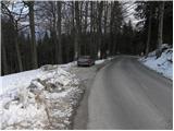
A) First, we drive to Škofja Loka, and then we continue driving towards Gorenja vas and further towards Hotavlje and Sovodenj. From Sovodenj we continue driving on a serpentine road towards Cerkno, and we follow it only to the pass Kladje 787 m, where we park in a suitable place next to the pass.
B) From the road Idrija - Tolmin we drive to Cerkno, and from there we continue driving in the direction of Škofja Loka. Further, we drive through Planina pri Cerknem, and we follow the quite winding road to the pass Kladje, where we park in a suitable place next to the road.
Route description:
From the pass Kladje at Podlanišče we continue on the asphalt road in the direction of Ermanovec, Slajka and Škofje. At first, we ascend past a few houses, and then signs for Škofje direct us to the left (straight ahead Ermanovec) onto a macadam road, which starts gently descending. We continue on a narrower macadam, or cart-track road, which rises slightly a few times, otherwise mostly descending slightly to moderately. After approximately 20 minutes of walking from the starting point we reach an asphalt road, along which we descend in a few steps to the nearby junction, from there we continue on the right ascending road. Along the road we ascend to the nearby saddle, from which a nice view of Blegoš opens up, and from there we continue left in the direction of Škofje (right Ermanovec).
We continue on a gentle cart track which crosses a strip of forest, then without major changes in elevation brings us in a few minutes to the next marked junction. At the junction we just cross the asphalt road (left downhill Cerkno and hospital Franja) and continue across a shorter grassy slope into the forest (continue on the footpath and not on the nearby cart track). Further, we ascend along the edge of the forest, the path leads us right next to the extensive grassy slope of Škofje. Higher up the path brings us out of the forest onto a panoramic grassy ridge, where it turns right and continues ascending along an increasingly panoramic crest. There follows a gentle and very panoramic walk along the grassy ridge (nice view of Kojca and Porezen), then the path enters the forest and after a few minutes of further walking brings us to the summit of Škofje.

Photos:
 1
1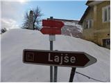 2
2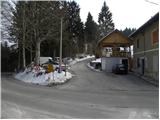 3
3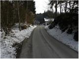 4
4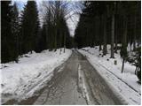 5
5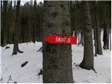 6
6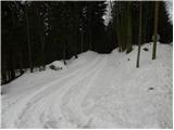 7
7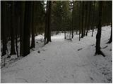 8
8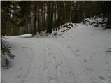 9
9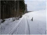 10
10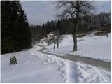 11
11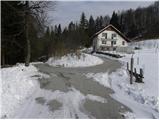 12
12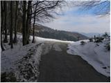 13
13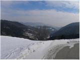 14
14 15
15 16
16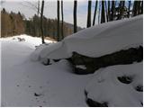 17
17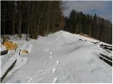 18
18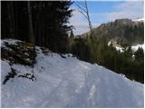 19
19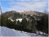 20
20 21
21 22
22 23
23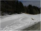 24
24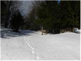 25
25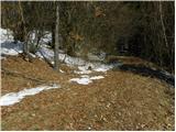 26
26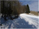 27
27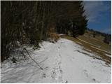 28
28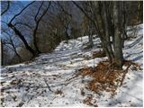 29
29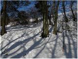 30
30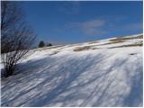 31
31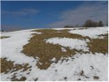 32
32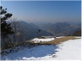 33
33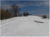 34
34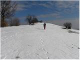 35
35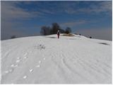 36
36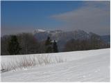 37
37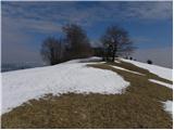 38
38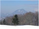 39
39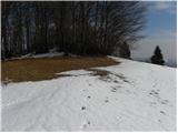 40
40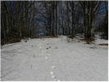 41
41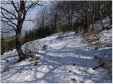 42
42 43
43
Discussion about the trip Podlanišče - Škofje
|
| ločanka29. 01. 2021 |
A wonderful trip for me! You can also use the path for the ascent to Ermanovec. Additional 1.15 hours (according to signs, from Vrh vrat).
|
|
|
|
| ločanka18. 01. 2026 16:24:45 |
Now there is a marked parking spot by the road in picture four, approximately opposite the first house on the left side.
|
|
|
To post a comment you must log in:
If you do not yet have a username, you must first
register.