Poden / Bodental - Veliki Rob / Großer Rain (via Veronjak / Hausberg)
Starting point: Poden / Bodental (1055 m)
| Latitude/Longitude: | 46,4791°N 14,2325°E |
| |
Route name: via Veronjak / Hausberg
Walking time: 2 h 10 min
Difficulty: easy unmarked way
Elevation gain: 409 m
Elevation difference along the route: 460 m
Map: Karavanke - osrednji del 1:50.000
Recommended equipment (summer):
Recommended equipment (winter): ice axe, crampons
Views: 292
 | 1 person like this post |
Access to starting point:
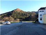
Over the Ljubelj border crossing we drive into Austria, and after a few kilometers we turn left towards the valley Poden / Bodental. There follows some more ascent, and then we arrive at the settlement Slovenji Plajberk / Windisch Bleiberg, and a little after the mentioned settlement the road turns left. Higher up we reach the settlement Poden / Bodental, where we park at the parking lot next to the Gasthof Sereinig inn.
Route description:
After the inn signs for Celovška koča / Klagenfurter Hütte and Mlaka / Märchenwiese point us to the right, on the path which on the right side bypasses a bigger chapel and at first continues by the foot of the nearby ski slope. We walk for a few minutes on a gently sloping grassy path, and then we reach an asphalt road, on which we continue a barely noticeable ascent. After the mill or after the house number Žabnica / Bodental 53, we continue right in the direction of the boarding house Lužekar / BergPension Lausegger (straight Mlaka and Celovška koča). Next follows crossing of the stream Žabnica / Bodenbach, after the crossing we pass a chapel, and then slightly ascend to a small hamlet with a few houses, where we continue straight towards the inn Lužekar / Gh. Lausegger (left Celovška koča and Vgrizeva planina). The road only a little further turns right and becomes a macadam road, and behind the chapel it passes into a strip of forest. When only a little further we leave the forest we reach the other asphalt road, and there with nice views we ascend to the nearby inn Lužekar.
Just before the inn stands a stable, above which we ascend along an asphalt road, then continue on a poorer macadam road that climbs diagonally, a little further ahead it turns sharply left and, with beautiful views and through a strip of forest, brings us to a hunting observatory and a fenced pasture. A little above the hunting observatory we continue in the forest, on a footpath in the direction of hiking path number 13, which continues without large changes in altitude, and most of the time it continues along the fence. When we gradually move away from the pasture, from path number 13 slightly to the left path number 3 branches off, on which we continue walking.
Just a little further ahead we cross a cart track; the path turns slightly left and a little higher joins the cart track, along which we continue for some time. When higher on an indistinct ridge we reach a grazing fence, we leave the cart track and continue left in the forest, where we soon notice signs of path number 3, and the path continues on a ridge and all the time runs left from the wire fence. Next follows a shorter descent, which brings us to a small panoramic saddle, and then we start ascending through the forest, and the path in some parts is quite steep. Higher the forest thins out and with views on the Karawanks we reach Veronjak.
From Veronjak we at first steeply descend on the southwestern ridge, after that steepness decreases and after a small saddle, where from the right a footpath from the nearby forest road joins, the path again starts ascending. A little further, we cross a cart track, and the path passes onto an overgrown clearing, from which a nice view opens up on the northern walls of Košuta. Higher, the path returns into the forest and continues on a ridge. When we eventually cross the next forest road, where from the left joins the path which doesn't lead over Veronjak, we continue straight and in a few minutes of additional walking we reach the peak of Veliki Rob.
Žabnica / Bodental - Veronjak / Hausberg 1:20, Veronjak / Hausberg - Veliki Rob / Großer Rain 0:50.
Description refers to condition in October 2019, and pictures are from November 2018 and October 2019.

Photos:
 1
1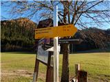 2
2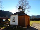 3
3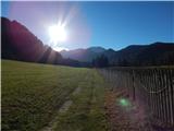 4
4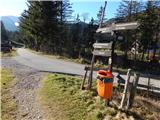 5
5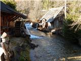 6
6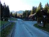 7
7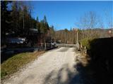 8
8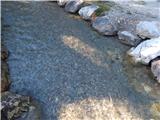 9
9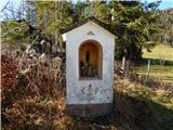 10
10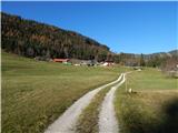 11
11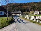 12
12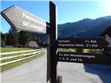 13
13 14
14 15
15 16
16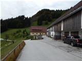 17
17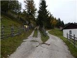 18
18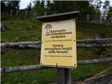 19
19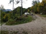 20
20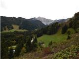 21
21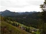 22
22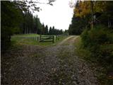 23
23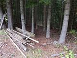 24
24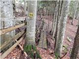 25
25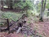 26
26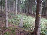 27
27 28
28 29
29 30
30 31
31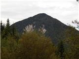 32
32 33
33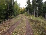 34
34 35
35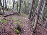 36
36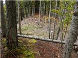 37
37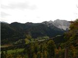 38
38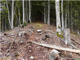 39
39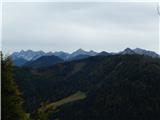 40
40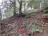 41
41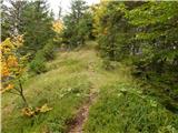 42
42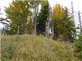 43
43 44
44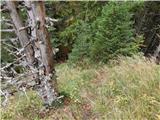 45
45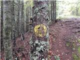 46
46 47
47 48
48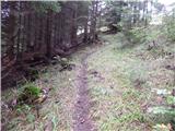 49
49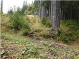 50
50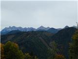 51
51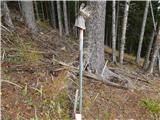 52
52 53
53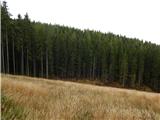 54
54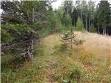 55
55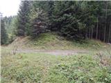 56
56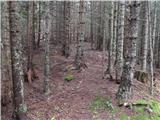 57
57 58
58 59
59 60
60 61
61 62
62
Discussion about the trip Poden / Bodental - Veliki Rob / Großer Rain (via Veronjak / Hausberg)
To post a comment you must log in:
If you do not yet have a username, you must first
register.