Planšarsko jezero - Roblekova planina
Starting point: Planšarsko jezero (897 m)
| Latitude/Longitude: | 46,4039°N 14,5152°E |
| |
Walking time: 1 h 20 min
Difficulty: easy unmarked way
Elevation gain: 387 m
Elevation difference along the route: 387 m
Map: Karavanke - osrednji del 1:50.000
Recommended equipment (summer):
Recommended equipment (winter): ice axe, crampons
Views: 15.056
 | 1 person like this post |
Access to starting point:
From the motorway Ljubljana - Jesenice, we take the exit Kranj - East and follow the road ahead in the direction of Jezersko. From the gas station at Zgornje Jezersko, we drive along the main road for approximately 1 km, then turn right in the direction of Planšarsko jezero, to which we arrive after a few hundred metres of further driving. We park on the large parking lot near the lake.
Route description:
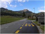
From Planšarsko jezero, we return along the road by which we arrived to the main road, cross it carefully, then continue along its edge towards Austria. We walk along the main road for approximately 200 m, then notice the signs for the Roblek homestead, which direct us left onto a local road. Along the gently sloping local road we continue across a larger and panoramic meadow, then arrive at a smaller crossroads ("pr božjem učes"), where we continue left (right: Roblek homestead). The macadam road then leads us past a smaller wooden house, after which the road gradually enters the forest. When the road enters the forest, it first crosses a smaller stream, then quickly brings us to a long right bend, where it crosses the stream again.
Just before the road crosses the stream again, we leave it and continue straight onto a cart track, which begins to ascend moderately. Higher up, the cart track leaves a smaller gully and turns left onto steep slopes, across which it ascends diagonally to the abandoned homestead Žarkovo. Here the path leads us for some time across a panoramic slope, then returns to the road that we followed in the lower part of the path. We follow the mentioned road to the left, and along it, with occasional views of the Kamniško-Savinjske Alpe, we ascend all the way to the border ridge.
When the road crosses to the Austrian side, we leave it and continue slightly right along an easy-to-follow path that proceeds along the border ridge. We continue along the gentle ridge to the nearby Roblekova planina, which we reach after 5 minutes of further walking.

Photos:
 1
1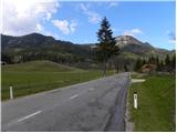 2
2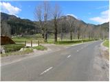 3
3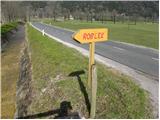 4
4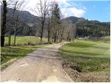 5
5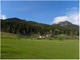 6
6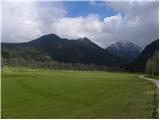 7
7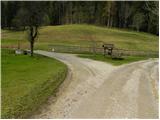 8
8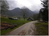 9
9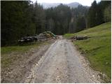 10
10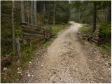 11
11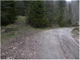 12
12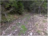 13
13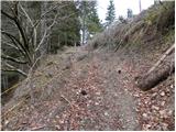 14
14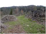 15
15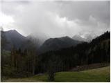 16
16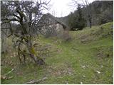 17
17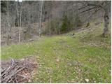 18
18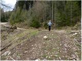 19
19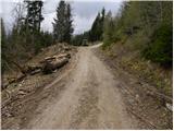 20
20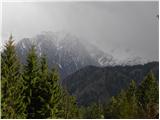 21
21 22
22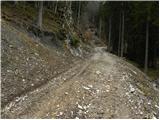 23
23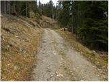 24
24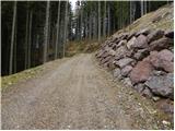 25
25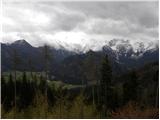 26
26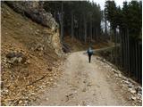 27
27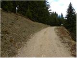 28
28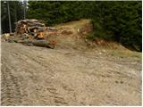 29
29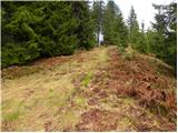 30
30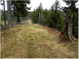 31
31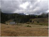 32
32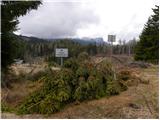 33
33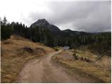 34
34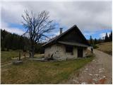 35
35
Discussion about the trip Planšarsko jezero - Roblekova planina
|
| francimedved30. 04. 2012 |
An interesting hike is also from the Jezerski vrh pass, Rakeževa planina, Ankova planina, Roblekova planina.
|
|
|
|
| jana196612. 01. 2020 |
From the pasture, the trail can continue by road towards Jezerski vrh and along the old road, which runs 500m from the border crossing, ending in the gully at the starting point. Very nice circular winter tour yesterday in the sun.
|
|
|
|
| RosanaJ31. 03. 2024 18:53:14 |
Poorly traceable, not marked at all. Perhaps for those who still want to go to the alpine pasture, I suggest ascending directly by the road. Slightly longer, but less strenuous and very scenic path.
|
|
|
|
| ločanka1. 04. 2024 08:50:49 |
RosanaJ, I'm surprised at you. A few years ago we walked from the Jezerski vrh saddle towards Roblekova planina and there were no problems at all. Last year we walked from Jezerski vrh back to the church of St. Andrew and there were no doubts on the path either . .
|
|
|
To post a comment you must log in:
If you do not yet have a username, you must first
register.