Planinski dom pod Ježo - Deveti konfin (survey point 942)
Starting point: Planinski dom pod Ježo (740 m)
| Latitude/Longitude: | 46,1636°N 13,6694°E |
| |
Walking time: 45 min
Difficulty: easy marked way
Elevation gain: 202 m
Elevation difference along the route: 205 m
Map: Julijske Alpe - zahodni del 1:50.000
Recommended equipment (summer):
Recommended equipment (winter): ice axe, crampons
Views: 4.446
 | 1 person like this post |
Access to starting point:
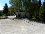
From Nova Gorica, we drive towards Tolmin or vice versa, and we follow the road to the settlement Ročinj, where signs for Kambreško point us to the left (from the direction of Tolmin to the right). After 4 km we arrive at Kambreško, and at the crossroads in the middle of the village we turn right towards Srednje and Livk. Further, we drive on the initially still asphalt road, then it changes into macadam and brings us to the mountain hut Planinski dom pod Ježo, where we park at an appropriate place by the road.
To the starting point we can also come from the mountain pass Solarji, and to the mountain pass from Volče or Livk.
Route description:
From the parking lot at the mountain hut Planinski dom pod Ježo we first cross the macadam road, then we head onto the footpath in the direction of Očna, Na gradu and Ježa. The path goes immediately from the road into the forest, through which it begins to ascend steeply. After approximately 15 minutes of walking the path flattens and brings us to a marked junction, where the path to Očna and Deveti konfin branches off to the right (at the junction there is a sign only for Očna).
We continue in the mentioned direction (straight to Ježa) and continue the path along an increasingly overgrown trail. After a few minutes at the fallen spruce the trail completely disappears, and we follow the blazes, as they quickly bring us to a wide cart track, which we follow to the right. After a few steps on the cart track we arrive at the spot where the marked path to Deveti konfin branches off to the left. Here we continue left and after a shorter ascent we climb to a smaller saddle, where we continue left. Only a short ascent through the forest follows and the moderately steep path brings us to the summit.

Photos:
 1
1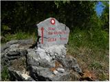 2
2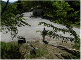 3
3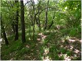 4
4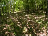 5
5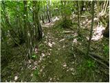 6
6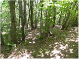 7
7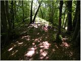 8
8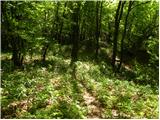 9
9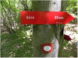 10
10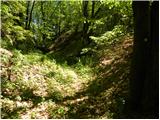 11
11 12
12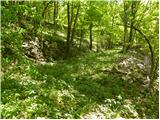 13
13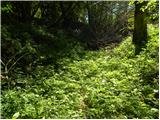 14
14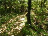 15
15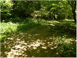 16
16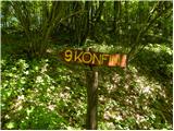 17
17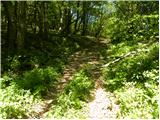 18
18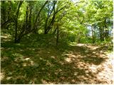 19
19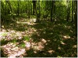 20
20 21
21 22
22
Discussion about the trip Planinski dom pod Ježo - Deveti konfin (survey point 942)
To post a comment you must log in:
If you do not yet have a username, you must first
register.