Planina Smrečica (Poglajnov rovt) - Berjanca
Starting point: Planina Smrečica (Poglajnov rovt) (1075 m)
| Latitude/Longitude: | 46,3616°N 14,0199°E |
| |
Walking time: 1 h
Difficulty: easy unmarked way
Elevation gain: 189 m
Elevation difference along the route: 205 m
Map: TNP 1:50.000
Recommended equipment (summer):
Recommended equipment (winter):
Views: 441
 | 1 person like this post |
Access to starting point:
From Bled or Jesenice we drive to Zatrnik, then we continue driving towards Pokljuka. After Zatrnik we turn onto the first road to the left (i.e. at the road marker between 5.5 km and 6.0 km), then we drive another few hundred meters to the first major right bend. After the bend, the road which descends to the mountain pasture Smrečica branches off to the left, and we park just a little further on a suitable place by the road.
Route description:
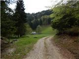
From the starting point, we continue on a macadam road which gently ascends; after a longer left bend, where we also leave the route of the former ski slope of the Zatrnik ski area, the road stops ascending, and occasionally further it even descends a little. While walking on the road, we then cross the route of the former ski lift Berjanca and a little further the ski slope Berjanca, and a little further some views open towards the Karawanks. After the transitional panoramic section we reach the marked path Bled (Zaka) - Pokljuka, and we continue right on the cart track to the nearby hunting cottage.
We bypass the hunting cottage on the left side and continue walking on a worse road. When the road turns a little to the right, we continue straight on the marked cart track; further we follow the blazes and ascend to the former ski slope Zatrnik, where we continue right and on easier pathless terrain in one minute of additional walking we ascend to the nearby peak, which is located a few meters above the abandoned structures.
Starting point - hunting cottage 0:50, hunting cottage - Berjanca 0:10.

Along the route: Lovska koča Mali Vokel (1193m)
Photos:
 1
1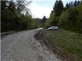 2
2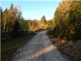 3
3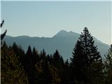 4
4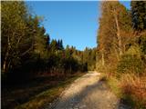 5
5 6
6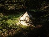 7
7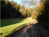 8
8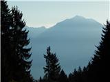 9
9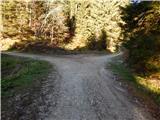 10
10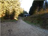 11
11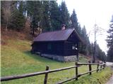 12
12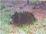 13
13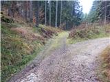 14
14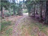 15
15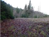 16
16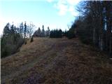 17
17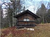 18
18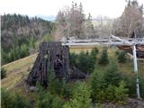 19
19 20
20 21
21 22
22
Discussion about the trip Planina Smrečica (Poglajnov rovt) - Berjanca
To post a comment you must log in:
If you do not yet have a username, you must first
register.