Starting point: Petrovo Brdo (803 m)
| Latitude/Longitude: | 46,2157°N 13,9997°E |
| |
Walking time: 1 h 30 min
Difficulty: easy marked way
Elevation gain: 470 m
Elevation difference along the route: 500 m
Map: Škofjeloško in Cerkljansko hribovje 1:50.000
Recommended equipment (summer):
Recommended equipment (winter): ice axe, crampons
Views: 9.292
 | 2 people like this post |
Access to starting point:
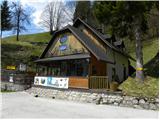
From Železniki we drive towards Tolmin or vice versa, we follow the road to the settlement Petrovo Brdo, where on a parking lot at the mountain hut Petrovo Brdo we also park. The mountain hut is located right next to an intersection, where the road to Soriška planina branches off.
Route description:
By the mountain hut, we notice signs for Črna prst, which point us on a very steep path. After a short steep ascent, we step on a wide cart track which we follow to the right, and it quickly brings us to a torrent stream. Marked cart track soon turns a little towards the left and is then relatively steeply ascending through the forest. After approximately half an hour of walking, we come to mountain signposts, where there is a marked crossing.
We continue in the direction of Črna prst (left Kup and Podbrdo) and we continue the ascent on an ascending cart track which higher turns to the right and entirely flattens. After a few minutes of additional walking, we leave the cart track and we continue the ascent on a marked footpath. After a short ascent, the path flattens a little and brings us on the old, but very well-preserved mule track. We continue the ascent on the mentioned mule track, which through the forest and some gullies brings us to a crossing near the bivouac Lovčev bivak Pri Koucah. Here we continue straight (right Lajnar and Slatnik) and after a few dozen strides of additional walking, we get to the already mentioned bivouac (Lovčev bivak is just a name of the cottage and bivouacking in it is not possible).
From Lovčev bivak we continue on a marked path in the direction of Črna prst. The path ahead crosses a strip of forest and then gradually passes on the more and more panoramic slopes, from which a view opens up on peaks and slopes, which surround Baška grapa. Higher, the path turns a little towards the left and starts lightly descending. After that, the path bypasses an old casern and only a few dozen meters further brings us to the hunting cottage on Vrh Bače.

Photos:
 1
1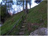 2
2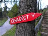 3
3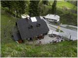 4
4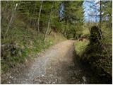 5
5 6
6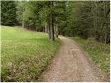 7
7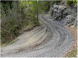 8
8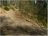 9
9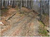 10
10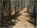 11
11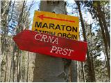 12
12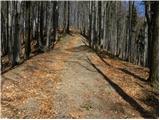 13
13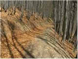 14
14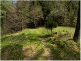 15
15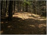 16
16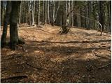 17
17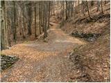 18
18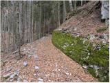 19
19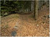 20
20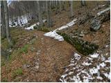 21
21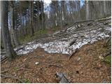 22
22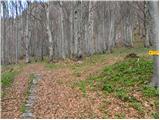 23
23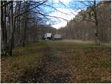 24
24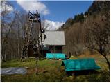 25
25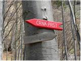 26
26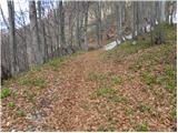 27
27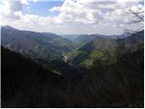 28
28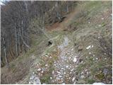 29
29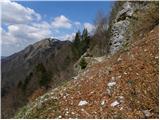 30
30 31
31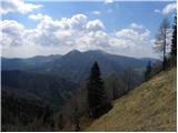 32
32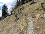 33
33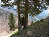 34
34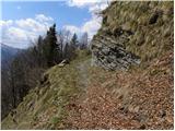 35
35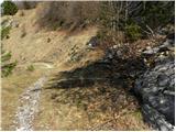 36
36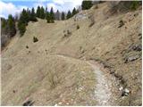 37
37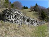 38
38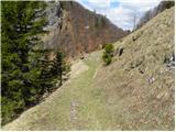 39
39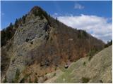 40
40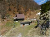 41
41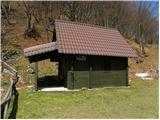 42
42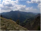 43
43
Discussion about the trip Petrovo Brdo - Vrh Bače
|
| katty20. 05. 2012 |
This little path is quite nice, but that cart track is pretty steep and doesn't end soon . When it finally ends, we reach the flat, then step a bit into the forest and in a few minutes arrive at a nicely preserved mule track. In between, a nice view opens up to Porezen and its surroundings as well as Podbrdo. The path is solitary and I recommend it to everyone who likes peace and such hidden corners . When it finally ends, we reach the flat, then step a bit into the forest and in a few minutes arrive at a nicely preserved mule track. In between, a nice view opens up to Porezen and its surroundings as well as Podbrdo. The path is solitary and I recommend it to everyone who likes peace and such hidden corners , but it's true that the tour is quite short , but it's true that the tour is quite short . .
|
|
|
To post a comment you must log in:
If you do not yet have a username, you must first
register.