Petrovo Brdo - Slatnik (northwestern peak) (via Lajnar)
Starting point: Petrovo Brdo (803 m)
| Latitude/Longitude: | 46,2157°N 13,9997°E |
| |
Route name: via Lajnar
Walking time: 2 h 15 min
Difficulty: easy marked way
Elevation gain: 806 m
Elevation difference along the route: 810 m
Map: Škofjeloško in Cerkljansko hribovje 1:50.000
Recommended equipment (summer):
Recommended equipment (winter): ice axe, crampons
Views: 7.252
 | 1 person like this post |
Access to starting point:
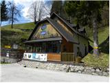
From Železniki we drive towards Tolmin or vice versa, we follow the road to the settlement Petrovo Brdo, where on a parking lot at the mountain hut Petrovo Brdo we also park. The mountain hut is located right next to an intersection, where the road to Soriška planina branches off.
Route description:
By the mountain hut, we notice signs for Črna prst, which point us on a very steep path. After a short steep ascent, we step on a wide cart track which we follow to the right, and it quickly brings us to a torrent stream. Marked cart track soon turns a little towards the left and is then relatively steeply ascending through the forest. After approximately half an hour of walking, we come to mountain signposts, where there is a marked crossing.
We continue in the direction of Črna prst (left Kup and Podbrdo) and we continue the ascent on an ascending cart track which higher turns to the right and entirely flattens. After a few minutes of additional walking, we leave the cart track and we continue the ascent on a marked footpath. After a short ascent, the path flattens a little and brings us on the old, but very well-preserved mule track. We continue the ascent on the mentioned mule track, which through the forest and some gullies brings us to Lovčev bivak Pri Koucah (Lovčev bivak is just a name of the cottage and there it isn't possible to bivouac).
Only some 10 m before the mentioned cottage, there is a marked crossing, where we continue right in the direction of Lajnar and Soriška planina. The path, which ahead isn't marked, continues on an old mule track, and it quickly brings us out of the forest, where we cross relatively steep slopes. Higher, the path passes into a strip of forest, where it turns sharply to the left. This easy-to-follow and increasingly panoramic path, which higher makes a few more zigzags, we follow all the way to the main ridge, where we again step on a marked path.
When we step on a marked path we continue straight (sharply right Lajnar) in the direction of Slatnik, Možic, Šavnik and Črna prst on a marked path which continues on the Primorska side of the ridge (it is also possible to continue on the ridge). A gentle ascent follows on a panoramic mule track, and then the path brings us to the saddle between both Slatniks.
We continue slightly right (sharply right Mali Slatnik 10-15 minutes) on the wide path, which in a gentle ascent brings us a little above the old military barracks. Here we continue sharply left on a panoramic grassy ridge, on which in less than 5 minutes of additional walking we ascend to the summit of Slatnik.

Photos:
 1
1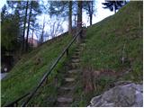 2
2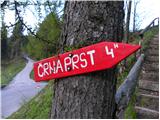 3
3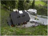 4
4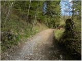 5
5 6
6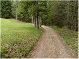 7
7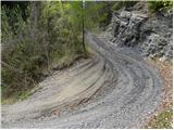 8
8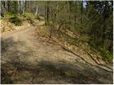 9
9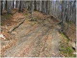 10
10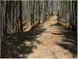 11
11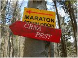 12
12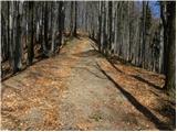 13
13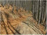 14
14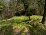 15
15 16
16 17
17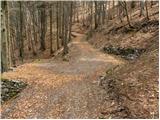 18
18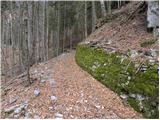 19
19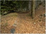 20
20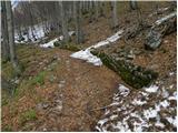 21
21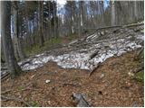 22
22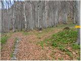 23
23 24
24 25
25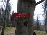 26
26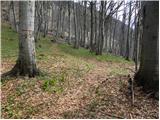 27
27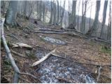 28
28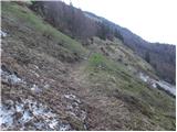 29
29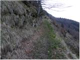 30
30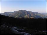 31
31 32
32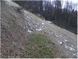 33
33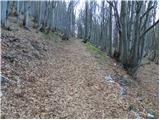 34
34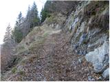 35
35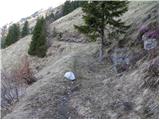 36
36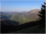 37
37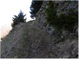 38
38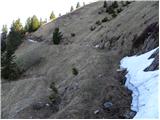 39
39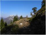 40
40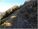 41
41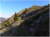 42
42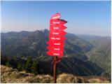 43
43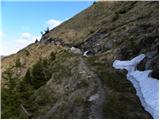 44
44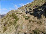 45
45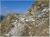 46
46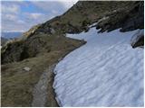 47
47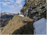 48
48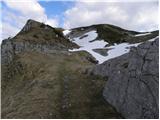 49
49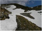 50
50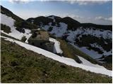 51
51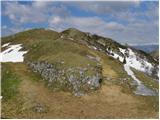 52
52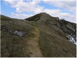 53
53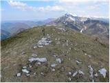 54
54 55
55
Discussion about the trip Petrovo Brdo - Slatnik (northwestern peak) (via Lajnar)
|
| Lapuh2077. 07. 2021 12:38:28 |
Yesterday on this path, first directly to Lajnar, then we walked along the ridge from peak to peak, from summit to summit. Excellent views, no heat, lots of flowers and relatively few hikers. From the highest peak we descended the forested path to Vrh Bače and then back to the starting point via a pleasant, almost flat and quite shady mulattiera. All paths are well-trodden and traceable. Recommended!
|
|
|
To post a comment you must log in:
If you do not yet have a username, you must first
register.