Starting point: Petrovo Brdo (803 m)
| Latitude/Longitude: | 46,2157°N 13,9997°E |
| |
Walking time: 45 min
Difficulty: easy marked way
Elevation gain: 243 m
Elevation difference along the route: 255 m
Map: Škofjeloško in Cerkljansko hribovje 1:50.000
Recommended equipment (summer):
Recommended equipment (winter):
Views: 7.199
 | 1 person like this post |
Access to starting point:
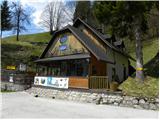
From Železniki we drive towards Tolmin or vice versa, we follow the road to the settlement Petrovo Brdo, where on a parking lot at the mountain hut Petrovo Brdo we also park. The mountain hut is located right next to an intersection, where the road to Soriška planina branches off.
Route description:
By the mountain hut, we notice signs for Črna prst, which point us to a very steep path. After a short steep ascent, we step on a wide cart track which we follow to the right, and it quickly brings us to a torrent stream. Marked cart track soon turns a little towards the left and is then relatively steeply ascending through the forest. After approximately half an hour of walking, we come to mountain signposts, where there is a marked crossing.
We continue on the left lower cart track (straight Črna prst and peaks above Soriška planina) in the direction of Kup and Podbrdo. Cart track then crosses slopes towards the left, and after a short descent brings us to a smaller saddle from which we already see the peak of Kup. From the saddle, we continue on one of two cart tracks (unmarked) and then after approximately 3 minutes of additional walking, we ascend to the panoramic and little visited peak.
Photos:
 1
1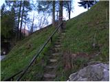 2
2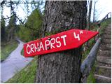 3
3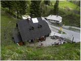 4
4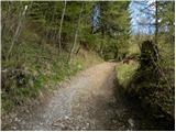 5
5 6
6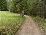 7
7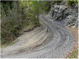 8
8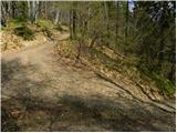 9
9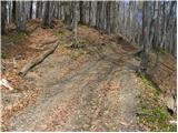 10
10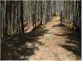 11
11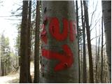 12
12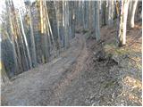 13
13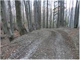 14
14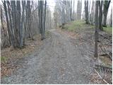 15
15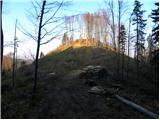 16
16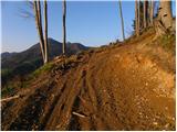 17
17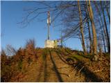 18
18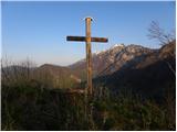 19
19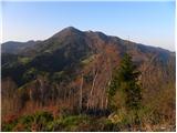 20
20
Discussion about the trip Petrovo Brdo - Kup
|
| ločanka24. 11. 2025 05:38:26 |
Interesting, but much nicer in the snow . You can also do a circular tour. On the return under Kup, turn right and then left at the intersection. At the end, a couple of extra elevation gains, but negligible. . You can also do a circular tour. On the return under Kup, turn right and then left at the intersection. At the end, a couple of extra elevation gains, but negligible.
|
|
|
To post a comment you must log in:
If you do not yet have a username, you must first
register.