Starting point: Petrovo Brdo (803 m)
| Latitude/Longitude: | 46,2157°N 13,9997°E |
| |
Walking time: 2 h
Difficulty: easy pathless terrain
Elevation gain: 711 m
Elevation difference along the route: 711 m
Map: Škofjeloško in Cerkljansko hribovje 1:50.000
Recommended equipment (summer):
Recommended equipment (winter): ice axe, crampons
Views: 2.245
 | 2 people like this post |
Access to starting point:
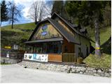
From Železniki we drive towards Tolmin or vice versa, we follow the road to the place Petrovo Brdo, where on the parking lot at the mountain hut Planinski dom Petrovo Brdo we also park. The mountain hut is located right next to the intersection, where the road to Soriška planina branches off.
Route description:
At the intersection, by which we parked, we notice hiking signposts for Porezen, which point us on a narrow and ascending road. After a short ascent, we step on a scenic ridge, from which a view opens up on the chain of Spodnje Bohinjske gore. Higher, the road passes into the forest, where for some time it moderately ascends, and then the blazes point us to the right on a footpath which ascends on and by an abandoned cart track. After a few minutes, we return to the road, and we follow it only for a short time because the signs for Porezen again lead us into the forest, where we continue the ascent on a forest path. Only a few dozen steps higher we step on a macadam road, which we only cross, and on the other side of it we steeply ascend via stairs. The path ahead passes into a dense forest, where it then moderately to steeply ascends. Following the otherwise marked path is on some spots because of quite a few forks and shortcuts a little harder, otherwise there are no bigger orientation problems. Higher, the path turns a little more to the right and it also noticeably flattens. After a few minutes of easy walking we step out of the forest onto a somewhat larger partly overgrown clearing, where we leave the marked path to Porezen.
On the saddle, where we leave the marked path towards Porezen, a nice view opens up towards Blegoš on the left and Spodnje Bohinjske gore and Triglav on the right.
From the saddle, we continue left on an indistinct ridge of Hoč, where we quickly step into the forest. Through the forest, we stick to an indistinct ridge, and the quite steep "path" after a few minutes flattens on a smaller leveling, where on the right we notice a vantage point, from which there is a nice view towards Porezen. After the part where the slope temporarily flattens, the "path" becomes even steeper. We still stick to the ridge or ascend a little left from it. Higher, a short quite steep ascent awaits us, then we step out of the forest and to the top only a few steps separate us, which we cover amid increasingly beautiful views.

Photos:
 1
1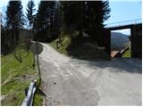 2
2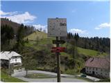 3
3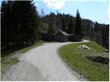 4
4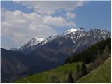 5
5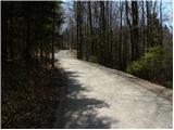 6
6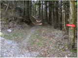 7
7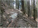 8
8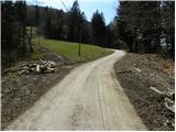 9
9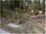 10
10 11
11 12
12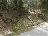 13
13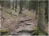 14
14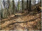 15
15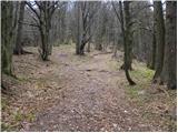 16
16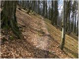 17
17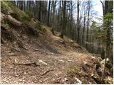 18
18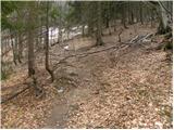 19
19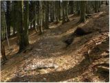 20
20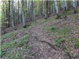 21
21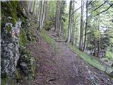 22
22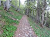 23
23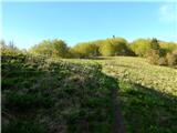 24
24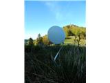 25
25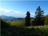 26
26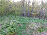 27
27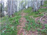 28
28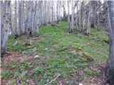 29
29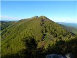 30
30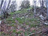 31
31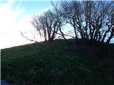 32
32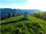 33
33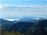 34
34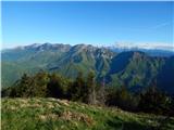 35
35
Discussion about the trip Petrovo Brdo - Hoč
To post a comment you must log in:
If you do not yet have a username, you must first
register.