Petačev graben - Tošč (via Sveta Jedert)
Starting point: Petačev graben (460 m)
| Latitude/Longitude: | 46,0923°N 14,2887°E |
| |
Route name: via Sveta Jedert
Walking time: 1 h 50 min
Difficulty: easy marked way
Elevation gain: 561 m
Elevation difference along the route: 580 m
Map: Ljubljana - okolica 1:50.000
Recommended equipment (summer):
Recommended equipment (winter): ice axe, crampons
Views: 5.310
 | 1 person like this post |
Access to starting point:
From Horjul or Dobrove we drive to Polhov Gradec, and then we continue driving towards Črni Vrh. A little above Polhov Gradec, at the crossroads at the confluence of the streams Mala and Velika Božna, we continue straight in the direction of Selo and Škofja Loka (left Črni Vrh). Further, we drive along the stream Mala Božna, and then by the road we notice mountain signposts for Selo, Tošč and Črni Vrh, by which we also park.
Route description:
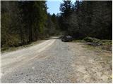
On the opposite side of the parking lot, we notice a macadam road (direction Selo, Tošč, Črni Vrh and Gabrše), which we follow for only a few tens of meters, then signs for the footpath direct us slightly to the left onto a cart track ascending along Selanov potok. Along the mentioned stream we ascend for quite some time, then blazes direct us to the left side (right bank) of the stream. The cart track a little further turns sharply to the left and after a few minutes of additional walking brings us out of the forest onto wide hayfields. The path then turns sharply to the right and further ascends transversely across increasingly panoramic slopes. After approximately 45 minutes of walking from the starting point, we step onto a road, which we follow to the right (left Ogrin, Črni Vrh, Pasja ravan and Sveti Ožbolt). Further we ascend only for a short time, then, after bypassing some houses, we gradually start to descend. After a short descent, we come to a crossroads by the quarry and chapel. Here we continue right in the direction of Tošč and on a slightly ascending road in 10 minutes of additional walking we arrive at the church of St. Jedert.
From St. Jedert we continue left, initially across a panoramic meadow which ends at a belt of sparse forest. We continue the ascent on an easy-to-follow path, which ascends for some time along the edge of increasingly steep meadows, then the path enters dense forest, where it gradually flattens. Higher, the path turns somewhat to the right and gradually transitions onto the northwestern forested ridge of Tošč, where from the left joins a less visited path from the Vodnik homestead. The path ahead in moderate ascent crosses some panoramic slopes, then starts to ascend more steeply. We follow this somewhat steeper path in the last section all the way to the top of Tošč, which we reach after a few minutes of additional walking.
Petačev graben - St. Jedert 1:00, St. Jedert - Tošč 50 minutes.

Along the route: Sveta Jedert (Selo) (750m)
Photos:
 1
1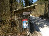 2
2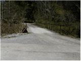 3
3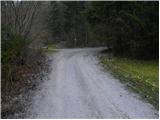 4
4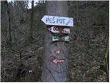 5
5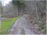 6
6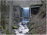 7
7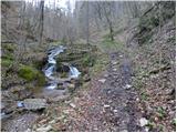 8
8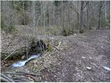 9
9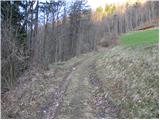 10
10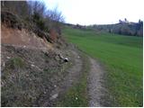 11
11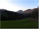 12
12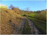 13
13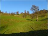 14
14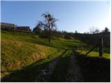 15
15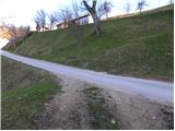 16
16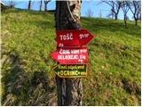 17
17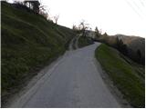 18
18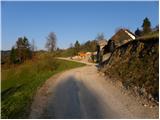 19
19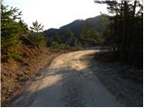 20
20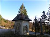 21
21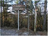 22
22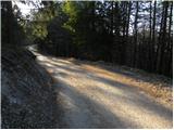 23
23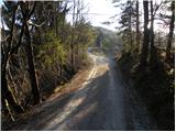 24
24 25
25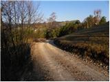 26
26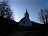 27
27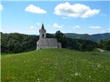 28
28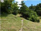 29
29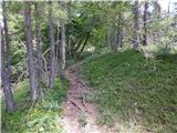 30
30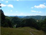 31
31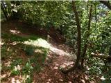 32
32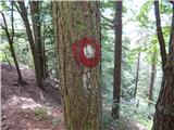 33
33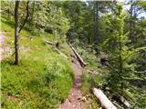 34
34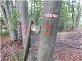 35
35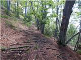 36
36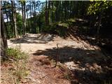 37
37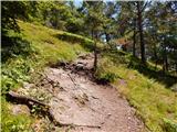 38
38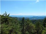 39
39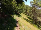 40
40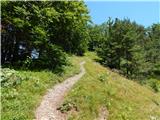 41
41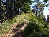 42
42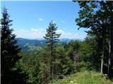 43
43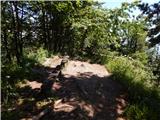 44
44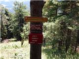 45
45 46
46
Discussion about the trip Petačev graben - Tošč (via Sveta Jedert)
|
| asluga26. 12. 2015 |
The path along Selanov potok is damaged, dangerous in places in the early section. I do not recommend this path.
|
|
|
To post a comment you must log in:
If you do not yet have a username, you must first
register.