Starting point: Pernica (247 m)
| Latitude/Longitude: | 46,57787°N 15,72659°E |
| |
Walking time: 1 h 5 min
Difficulty: easy marked way
Elevation gain: 171 m
Elevation difference along the route: 190 m
Map:
Recommended equipment (summer):
Recommended equipment (winter):
Views: 151
 | 1 person like this post |
Access to starting point:
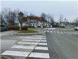
Leave the Pomurska motorway at the Pernica exit and then follow the signs to the mentioned place. From the roundabout take the exit towards the health centre, post office, kindergarten, cemetery, cultural centre and Strojegradnja Koletnik. Park immediately behind the roundabout on the parking lot by the roundabout, or on the other side of the road on the parking lot by the cemetery.
Route description:
Already at the parking lot we notice the first Knafelc markings, which we follow southwards, where we start ascending along the sidewalk, with houses still quite frequent along the path. The path soon turns westwards, higher up at the intersection where the sidewalk ends we continue straight on and keep following the Knafelc markings. Higher up we enter a strip of forest, where we bypass the highest point of Gradišče (351 m) on the right side. This is followed by some short ascents and descents, and past individual houses we reach a marked intersection, where we leave the Knafelc markings and continue following the yellow-white markings, keeping the direction towards Ruperče and Zavrh.
This is followed by some scenic traversing, from where a nice view opens onto Pohorje and Dravsko polje, and the path continues for some time along the same track as the Slovenska turno kolesarska pot. When the road turns right downhill we continue straight onto the side road, along which there are signs for Zimica and Zavrh. This is followed by an ascent between forest on the left and vineyards on the right to two houses where the road ends. We bypass the houses on the right side, then continue along the ridge where the power line is also routed.
When the somewhat wider path turns right from the ridge towards the nearby houses we continue straight and keep to the ridge, following such a path to the summit a few minutes away, which we recognise by the transmitters.
The description and photos refer to the condition in November 2025.

Along the route: Gradišče (351m)
Photos:
 1
1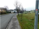 2
2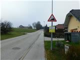 3
3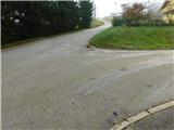 4
4 5
5 6
6 7
7 8
8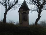 9
9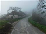 10
10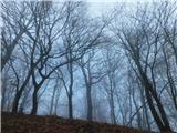 11
11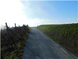 12
12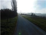 13
13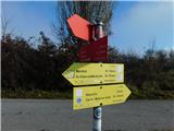 14
14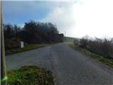 15
15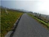 16
16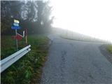 17
17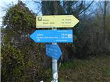 18
18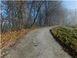 19
19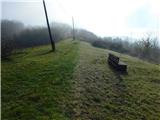 20
20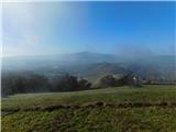 21
21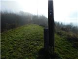 22
22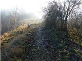 23
23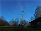 24
24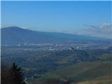 25
25
Discussion about the trip Pernica - Vavtošek
To post a comment you must log in:
If you do not yet have a username, you must first
register.