Noršić selo - Noršićka Plešivica
Starting point: Noršić selo (672 m)
| Latitude/Longitude: | 45,79474°N 15,57306°E |
| |
Walking time: 25 min
Difficulty: easy marked way
Elevation gain: 49 m
Elevation difference along the route: 60 m
Map:
Recommended equipment (summer):
Recommended equipment (winter):
Views: 158
 | 1 person like this post |
Access to starting point:
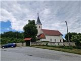
Leave the Dolenjska motorway at the Slovenska vas exit, which is just before the Obrežje border crossing. Continue driving to the centre of Obrežje, where at the intersection turn left, then through the Bregana naselje border crossing and the bridge over the Bregana river arrive in Croatia. Immediately after the border continue sharply right towards Jastrebarsko and continue driving to the village of Grdanjci, where in the centre of the village notice a sign on the left for Jarušje, Višnjevac and Noršić Selo. Head onto this road and continue driving on a narrower and asphalted road through Breganica and after approximately 7.5 km of driving arrive at the intersection, where continue right towards Noršić Selo, left Jarušje and Dragonoš. When arriving in the village, park either at the intersection or at the Church of the Holy Spirit.
Route description:
From the Church of the Holy Spirit return to the intersection, continue right and when the road leaves the village turn right again onto the dirt road, across the meadow to the next intersection, where turn left. The dirt road climbs steeply passing the water intake to a larger meadow with a field. Here the well-visible dirt road ends and continue straight along the track, which in a slight descent brings us to the junction for Noršićka Plešivica, continue across the meadow, carefully follow the trace into the forest, then ascend through the forest to the last junction just below the summit, where the path from the Scout hut joins, we continue right on a barely visible trail that in a few minutes of walking across the meadow brings us to the summit of Noršićka Plešivica.
Description and photos refer to the condition in May 2025.
Photos:
 1
1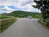 2
2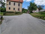 3
3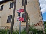 4
4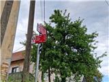 5
5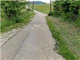 6
6 7
7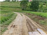 8
8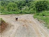 9
9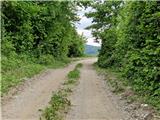 10
10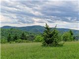 11
11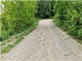 12
12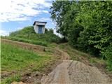 13
13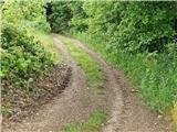 14
14 15
15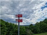 16
16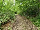 17
17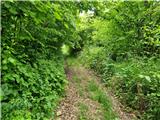 18
18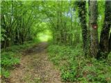 19
19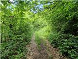 20
20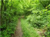 21
21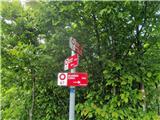 22
22 23
23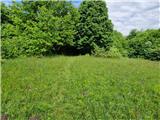 24
24 25
25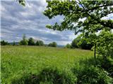 26
26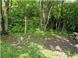 27
27
Discussion about the trip Noršić selo - Noršićka Plešivica
To post a comment you must log in:
If you do not yet have a username, you must first
register.