Mokrine / Nassfeld - Bivouac E. Lomasti
Starting point: Mokrine / Nassfeld (1540 m)
| Latitude/Longitude: | 46,5609°N 13,2758°E |
| |
Walking time: 3 h
Difficulty: easy marked way
Elevation gain: 360 m
Elevation difference along the route: 440 m
Map: Tabacco 18
Recommended equipment (summer):
Recommended equipment (winter):
Views: 4.985
 | 2 people like this post |
Access to starting point:
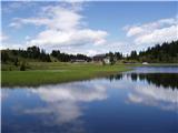
Through the border crossing in Rateče we drive through Trbiž / Tarvisio, Ukve / Ugovizzo to the place Tablja / Pontebba, where we turn right following the signs »Passo di Pramollo / Nassfeld« (Slovenian Mokrine). At the pass we drive past the lake to the Austrian side, where we park on a large parking lot.
Route description:
From the parking lot on the pass Mokrine / Nassfeld we head onto a macadam road following the signs Rosskofel and Trogkofel. After a few hundred meters we leave the road and the blazes lead us left onto a path that runs through meadows and past the artificial lake intended for snowmaking. The path then runs through a sparse forest and several times crosses the ski slope and numerous streams. We soon come to a junction, where the signs direct us left onto the path that runs alongside the ski slope, ascends somewhat more steeply, and brings us to the road at the hut on Tressdorfer hohe in 15 minutes. At the junction, which is about a hundred meters from the hut and from where there is a nice view towards Veliki Koritnik / Creta di Aip / Trogkofel, we head onto the right road, which descends slightly. At the right bend we leave the road and head back onto the footpath. The path continues descending through the sparse forest and over numerous streams we come to a junction, where we go left following the signs Rudnig sattel / Sella di Aip. The path then ascends below the slopes of Veliki Koritnik and brings us to the saddle Rudnig sattel / Sella di Aip in about half an hour, from where we have only a few meters of descent to the bivouac on the Italian side.

Along the route: Rudnig sattel / Sella di Aip) (1942m)
Photos:
 1
1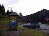 2
2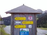 3
3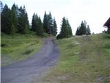 4
4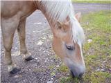 5
5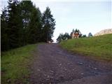 6
6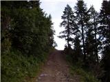 7
7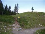 8
8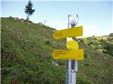 9
9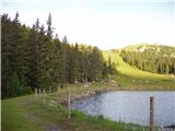 10
10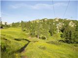 11
11 12
12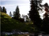 13
13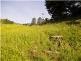 14
14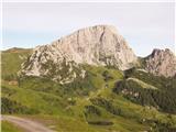 15
15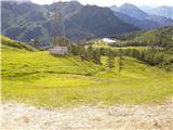 16
16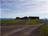 17
17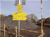 18
18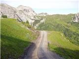 19
19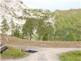 20
20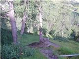 21
21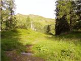 22
22 23
23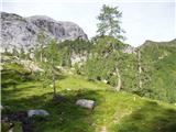 24
24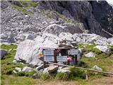 25
25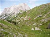 26
26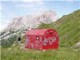 27
27
Discussion about the trip Mokrine / Nassfeld - Bivouac E. Lomasti
To post a comment you must log in:
If you do not yet have a username, you must first
register.