Mojstrana - Grančišče (south path)
Starting point: Mojstrana (675 m)
| Latitude/Longitude: | 46,4552°N 13,9321°E |
| |
Route name: south path
Walking time: 25 min
Difficulty: easy marked way
Elevation gain: 169 m
Elevation difference along the route: 169 m
Map: Kranjska Gora 1:30.000
Recommended equipment (summer):
Recommended equipment (winter):
Views: 13.792
 | 1 person like this post |
Access to starting point:
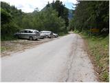
We leave the Gorenjska motorway at the Jesenice - west (Hrušica) exit and continue driving in the direction of Kranjska Gora. A little before Dovje, the signs for Mojstrana, Krma, Kot and Vrata direct us left onto a somewhat narrower road, along which we quickly arrive in Mojstrana. Through Mojstrana we follow the signs for the alpine valley Vrata, but we follow the mentioned road only to the sign that marks the end of Mojstrana. Here on the left side we notice a parking lot, where we park.
Route description:
From the parking lot first we carefully cross the road, then we ascend an initially unmarked footpath which already after 2 minutes joins the marked path, which branches off from the road a few 10 m lower. We continue the ascent on the marked path which leads us through the forest, then we arrive at the tractor track which we follow to the right, and it already after a few meters brings us to a smaller junction, where we continue right (straight Vrtaška planina, Vrtaški vrh and Sleme and the upper path to Grančišče).
At the junction the markings end, and the path quickly returns into the forest, through which it first ascends diagonally, then turns slightly to the left and ascends a moderately steep slope. Higher we cross a shorter overgrown clearing, then the already mentioned "upper" path joins us. At the junction, where the slope turns into more level terrain, we continue right, and we follow the moderately steep path to the panoramic summit.
Photos:
 1
1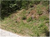 2
2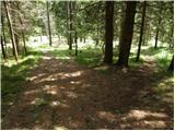 3
3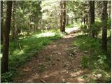 4
4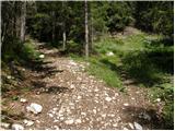 5
5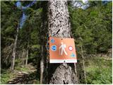 6
6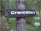 7
7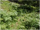 8
8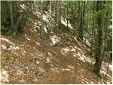 9
9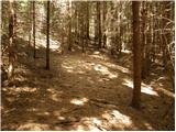 10
10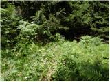 11
11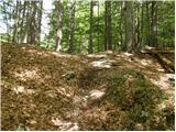 12
12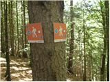 13
13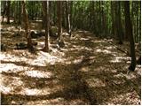 14
14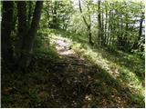 15
15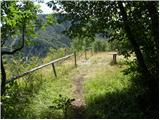 16
16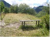 17
17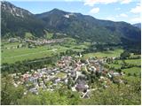 18
18
Discussion about the trip Mojstrana - Grančišče (south path)
|
| Jusk19. 10. 2019 |
A quick jaunt when you can't go anywhere else in bad weather up to the top and back in half an hour up to the top and back in half an hour
|
|
|
|
| gorjanci30. 06. 2021 17:57:06 |
Is there a stamp at the top?
|
|
|
To post a comment you must log in:
If you do not yet have a username, you must first
register.