Marof pri Pišecah - Veliki Špiček
Starting point: Marof pri Pišecah (270 m)
Walking time: 1 h 10 min
Difficulty: easy unmarked way
Elevation gain: 416 m
Elevation difference along the route: 435 m
Map:
Recommended equipment (summer):
Recommended equipment (winter):
Views: 14.267
 | 2 people like this post |
Access to starting point:
On the main road from Brežice towards Bizeljsko in the forest at the crossroads we turn left towards Globoko. In Globoko we go right past the primary school to Pišece, where we turn left towards the castle. After a good half a kilometer from Pišece we come to the crossroads at the lake, where there is also a signpost for Pišece Castle. We park at or immediately after the lake.
Route description:
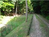
We follow the cart track towards the castle. After a good 200 meters we turn right uphill if we want to the castle or we continue straight on the road, which shortens the path by a good 5 minutes. At the castle we can refill our water and continue past the building below the castle and left through a meadow to the path which brings us back to the cart track. We ascend through a beech forest. We stick to the cart track upwards and slightly right, which becomes a little worse. After a good 40 minutes from the castle we reach a marked path and a hunting hut. Above the hut there is a path junction. We can go on the wider ("main") marked path, which in a quarter of an hour brings us to the summit, or left past the monument to the deceased hunter (also marked), which is almost 10 minutes longer but for me a nicer variant, suitable for descent. On the top there is a take-off site for kites, a table with a bench and a cross with a logbook and a stamp.
Photos:
 1
1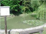 2
2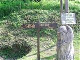 3
3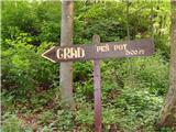 4
4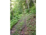 5
5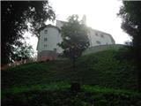 6
6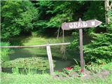 7
7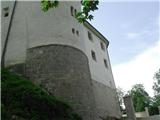 8
8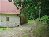 9
9 10
10 11
11 12
12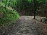 13
13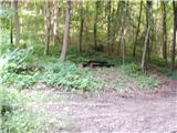 14
14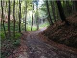 15
15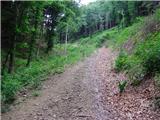 16
16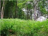 17
17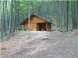 18
18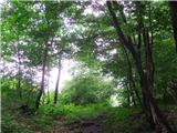 19
19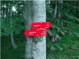 20
20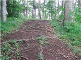 21
21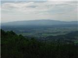 22
22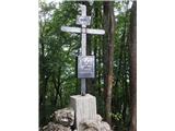 23
23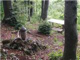 24
24 25
25
Discussion about the trip Marof pri Pišecah - Veliki Špiček
|
| šoni20. 01. 2016 |
Author please check if he knows left - right, such wrong descriptions only mislead
|
|
|
To post a comment you must log in:
If you do not yet have a username, you must first
register.