Marija Reka (Strgarjev kamnolom) - Golava (Ovčja pot)
Starting point: Marija Reka (Strgarjev kamnolom) (350 m)
| Latitude/Longitude: | 46,2112°N 15,0913°E |
| |
Route name: Ovčja pot
Walking time: 1 h 45 min
Difficulty: partly demanding marked way
Elevation gain: 484 m
Elevation difference along the route: 500 m
Map:
Recommended equipment (summer):
Recommended equipment (winter): ice axe, crampons
Views: 7.295
 | 1 person like this post |
Access to starting point:
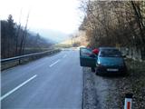
From the highway Ljubljana - Celje we go to the exit Šentrupert (from Ljubljana) or Šempeter (from Celje) and we continue driving in the direction of Prebold and Trbovlje. After Prebold the road brings us to the village Marija Reka, where we continue driving by the stream ahead. When we get out of the gorge, we will notice in front of us the Strgar farm, where the beginning of the path used to be in the past. We will park on an appropriate place. An appropriate place is a little further from the mentioned farm, and one is a little before the farm. The path starts by the bridge left from the road (right the path goes to Reška planina).
Route description:
At the end of some sort of gorge, the path towards Reška planina branches off to the right, and left through a meadow we will notice a smaller bridge, which crosses the stream. We continue over the small bridge and then right on a cart track upwards. For a short time, we walk on the cart track, and then immediately after the first sharp turn we leave it and continue the ascent on a marked path, which ascends steeper through the forest. Higher, we step out of the forest on an already quite overgrown meadow, where the path leads us past a decaying building, behind which we return into the forest. The path ahead leads us through a lane of holly (božje drvce), and higher below a short rocky slope. A little further, we get to the farm Huš, where there is a marked crossing.
We continue right in the direction of Mrzlica (left Zvonetova pot on Golava) and continue on a relatively gentle initially macadam road. When the road already becomes asphalted, it will bring us to the left turn, by which we will notice a cross and marked crossing.
Here we leave the road and continue the ascent on a slightly overgrown cart track in the direction of Mrzlica. Higher, we get to the farm Kočet, by which there is a very loud dog. Above the farm, we return into the forest (here a shortcut branches off to the left) and we follow the marked path to a smaller saddle, where there is a marked crossing.
We continue in the direction of Golava and gradually pass on to the Ovčja pot. Further on, the path quickly becomes very steep and ascends in numerous turns through the forest. On the hardest part stairs and a steel cable help us. When the steel cable ends we temporarily step on a smaller clearing, and then through the forest we ascend on the steep path to Blažev bivak on Golava.

Photos:
 1
1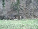 2
2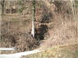 3
3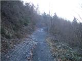 4
4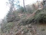 5
5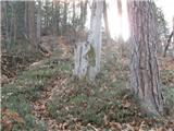 6
6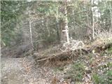 7
7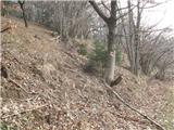 8
8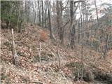 9
9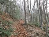 10
10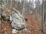 11
11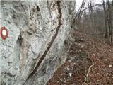 12
12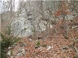 13
13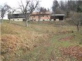 14
14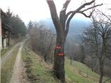 15
15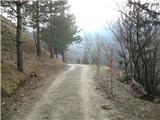 16
16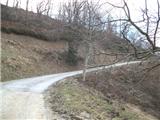 17
17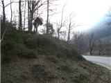 18
18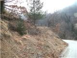 19
19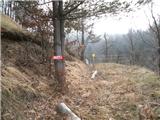 20
20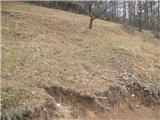 21
21 22
22 23
23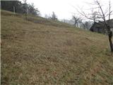 24
24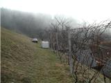 25
25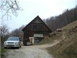 26
26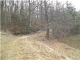 27
27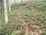 28
28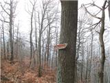 29
29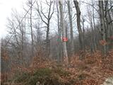 30
30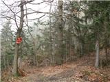 31
31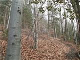 32
32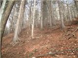 33
33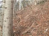 34
34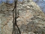 35
35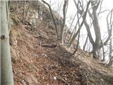 36
36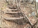 37
37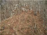 38
38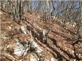 39
39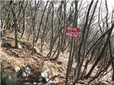 40
40 41
41
Discussion about the trip Marija Reka (Strgarjev kamnolom) - Golava (Ovčja pot)
|
| andi212. 04. 2020 |
The path has been called Andrejeva pot for the last few years. Due to erosion of the upper part (partly consequence of considerable visits) one has to be careful on descent even in dry weather.
|
|
|
|
| lukaz12. 04. 2020 |
For adventurers. Starting point in front of the hunting lodge. Below the lodge, past the playground, an unmarked trail leads under the western slope. The path is passable in dry weather and when there is no vegetation, in winter and spring. It joins the path leading from Marija Reka, from there via Zvonetova climbing path to the top of Golava. Descent along the marked ridge path.
|
|
|
|
| seinfeld16. 06. 2021 14:47:47 |
The path is well marked, nevertheless you need to carefully follow the markers, because due to overgrowth you can easily miss the direction.
|
|
|
To post a comment you must log in:
If you do not yet have a username, you must first
register.