Maribor - Petnikov vrh (on path over Kozjak)
Starting point: Maribor (275 m)
| Latitude/Longitude: | 46,564°N 15,6481°E |
| |
Route name: on path over Kozjak
Walking time: 3 h 30 min
Difficulty: easy marked way
Elevation gain: 328 m
Elevation difference along the route: 810 m
Map: Pohorje 1:50.000
Recommended equipment (summer):
Recommended equipment (winter):
Views: 4.449
 | 2 people like this post |
Access to starting point:
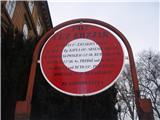
The start of the path can be practically in the center of the city at the beginning of the city park by the sign for the path over Kozjak or anywhere in the park up to the Three Ponds.
By car, take the Melje exit on the expressway through Maribor and continuing past the railway station, at the first intersection without traffic lights turn left onto Tomšičeva ulica, also a well-known avenue in the direction of Ribniško selo, and park the vehicle somewhere by the park.
Route description:
At the beginning of the city park, at the sign "Pot čez Kozjak" or at the Three Ponds is the concrete start of the path. We simply follow the mountain path practically from urban Maribor through Ribniško selo. At the top of Ribniško selo at the junction with Vinarji, right into the forest and below Marinov and Kaufmanov breg we simply follow the well-marked and also varied "beaten" path. Soon we reach the upper part of the settlement Rošpoh, after which follows a descent into the valley, where we cross the road Kamnica - Kungota.
We continue by the chapel upwards, by a large homestead with orchards on an asphalt connection. Sv. Urban is somehow always practically within sight and with excellent path markings we reach the church of Sv. Urban in an easy pace.
After viewing the surroundings of Sv. Urban we continue from the junction in the direction of Gaj nad Mariborom. On a varied, mainly asphalt connection, we reach the junction Nabašec and continue left (right is the direction towards Kungota). We follow the asphalt road to the junction, where we continue straight upwards... direction sign Večernik. The path in this section is a macadam/forest road and soon by the homestead Večernik (left by the path) we reach the settlement Gaj nad Mariborom, followed by a light final ascent to the church of Sv. Križ.
From the church we continue downhill on the road in the direction of the cemetery at Gaj. At the junction with the road we turn left and after a few dozen meters at the first junction right downhill below one of the homesteads. Briefly we are in the forest and at the exit from the forest by the wooden cross on the right side we go upwards on an unmarked but partly beaten path to the summit, where there is a visible-from-afar antenna system with associated ground equipment. It is movable, maybe it is no longer there. The summit offers no views. The path from Sv. Križ to Petnikov vrh is not marked.
The path measures about 13.5 kilometers, 810 positive elevation meters and 480 negative elevation meters (start from the city park).

Photos:
 1
1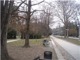 2
2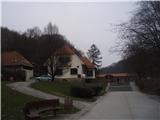 3
3 4
4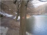 5
5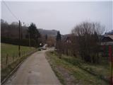 6
6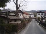 7
7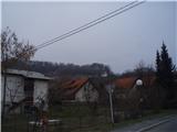 8
8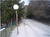 9
9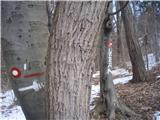 10
10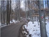 11
11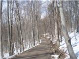 12
12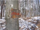 13
13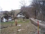 14
14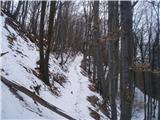 15
15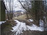 16
16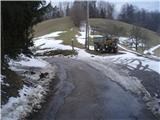 17
17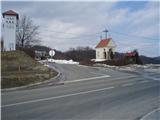 18
18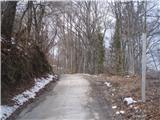 19
19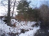 20
20 21
21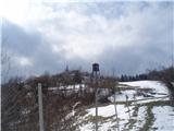 22
22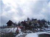 23
23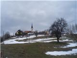 24
24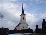 25
25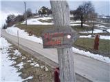 26
26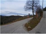 27
27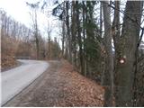 28
28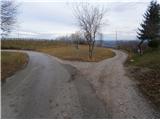 29
29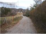 30
30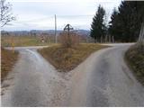 31
31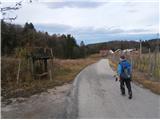 32
32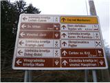 33
33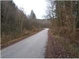 34
34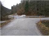 35
35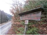 36
36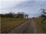 37
37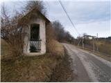 38
38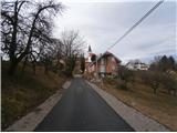 39
39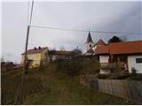 40
40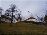 41
41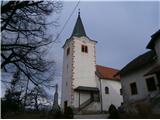 42
42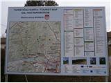 43
43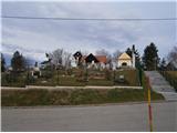 44
44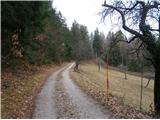 45
45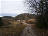 46
46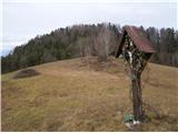 47
47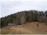 48
48 49
49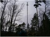 50
50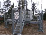 51
51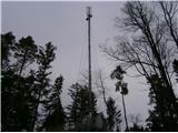 52
52
Discussion about the trip Maribor - Petnikov vrh (on path over Kozjak)
|
| bruny25. 03. 2014 |
Of course, Petnikov vrh is not exactly a point you'd hike three hours from Maribor to. In the broader context of the trail together with Urban and Gaj, it's definitely worth a quick jump to the top. Well, on the shortest Sunday of 2013, 22.12.2013, my colleague and I made good use of it. Pohernikov vrh was certainly still reachable and also the border stone X/99, which according to maps and sources is somewhere closest to the center of Maribor and sharply juts into Slovenian geographical space, but we left the challenge for another time. Definitely interesting in its own way, perhaps a slightly neglected area in the fast pace of life between Kozjak and Slovenske gorice. Best regards
|
|
|
To post a comment you must log in:
If you do not yet have a username, you must first
register.