Mala Goričica - Obolno (by road)
Starting point: Mala Goričica (587 m)
| Latitude/Longitude: | 45,9884°N 14,8036°E |
| |
Route name: by road
Walking time: 1 h 15 min
Difficulty: easy marked way
Elevation gain: 189 m
Elevation difference along the route: 245 m
Map:
Recommended equipment (summer):
Recommended equipment (winter):
Views: 1.360
 | 1 person like this post |
Access to starting point:
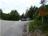
From the highway Ljubljana - Novo Mesto, we take the exit Ivančna Gorica, and then we continue driving towards Stična. After Stična, the road leads us through the settlement Mekinje nad Stično to the settlement Metnaj. At some crossroads, we follow the signs for Obolno, and on an asphalt road, we drive to a smaller saddle where the path branches off to the right towards the nearby hunting cottage, straight ahead the road continues towards the settlement Debeče, and to the left leads the road towards the settlements Goričica, Poljane and Obolno. We park at a suitable place by the crossroads.
Route description:
From the starting point, we continue on an ascending road in the direction of Goričica, Poljane and Obolno. After a shorter steep ascent, the road flattens and brings us to a panoramic hay meadow, from where a nice view opens up towards the south. Here the road turns a little to the right and leads us past a few houses. Behind the houses, at the smaller crossroads we continue right, on the road which a little further starts lightly descending. After a short descent, the road branches off to the left towards the settlement Poljane, and we continue straight in the direction of Obolno. A little further, we get to the next crossroad, where a marked footpath branches off to the left to Obolno, and we continue on the road which at the smaller quarry stops descending. We still continue on the asphalt road which gradually brings us out of the forest, where on the right side by the residential house we notice a neat little garden. Next follows a short somewhat steeper ascent and the road brings us to a small saddle, where there is also a crossroad.
We continue left in the direction of Obolno and at first we ascend relatively steeply through a belt of forest. The forest soon ends, and past a few houses with nice views, we quickly get to the Agrotourism Obolno.
From the agrotourism we walk on the road only some 10 meters, and then the signs for the peak direct us to the left. We continue on a cart track which leads us past the field, and behind it, it splits into two parts. We continue on the worse ascending cart track, on which after a short ascent, we reach the panoramic peak, on which there is a panorama board.
Description and pictures refer to the condition in the year 2015 (May).

Photos:
 1
1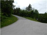 2
2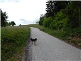 3
3 4
4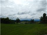 5
5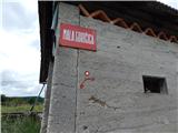 6
6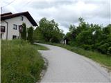 7
7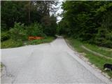 8
8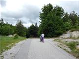 9
9 10
10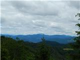 11
11 12
12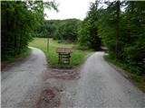 13
13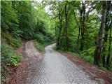 14
14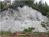 15
15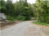 16
16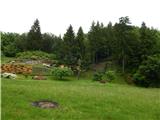 17
17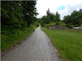 18
18 19
19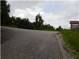 20
20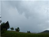 21
21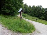 22
22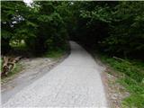 23
23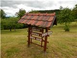 24
24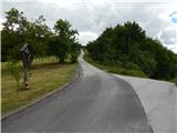 25
25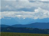 26
26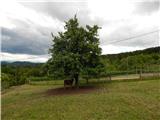 27
27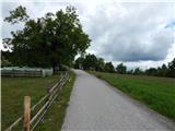 28
28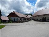 29
29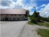 30
30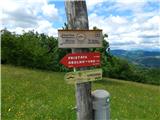 31
31 32
32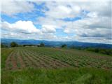 33
33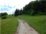 34
34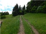 35
35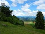 36
36 37
37 38
38
Discussion about the trip Mala Goričica - Obolno (by road)
To post a comment you must log in:
If you do not yet have a username, you must first
register.