Makekova Kočna - Visoki vrh above Jezersko (via Javornik)
Starting point: Makekova Kočna (900 m)
| Latitude/Longitude: | 46,3931°N 14,5009°E |
| |
Route name: via Javornik
Walking time: 2 h 15 min
Difficulty: easy unmarked way
Elevation gain: 559 m
Elevation difference along the route: 600 m
Map: Kamniške in Savinjske Alpe 1:50.000
Recommended equipment (summer):
Recommended equipment (winter): ice axe, crampons
Views: 4.905
 | 1 person like this post |
Access to starting point:
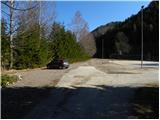
From the Ljubljana - Jesenice highway, take the Kranj - East exit and follow the road ahead in the direction of Jezersko. In Jezersko, at the bus station, turn right into the valley of Makekova Kočna (direction Čedca waterfall, Veliki vrh and Češka koča mountain hut). The road then crosses Jezernica over a bridge, and only a few meters ahead at the crossroads at the chapel, we turn left towards the nearby sports field by which we park.
Route description:
From the parking lot by the sports field we continue on a macadam road which is almost unnoticeably ascending parallel with the stream Jezernica. After a few minutes of easy walking, we will arrive at a smaller junction, where an ascending unmarked cart track branches off sharply to the right (by the junction usually stands a smaller cairn), on which we continue the ascent. The cart track immediately enters the forest and leads us to a junction, where it splits into two parts. We continue on the left cart track, by which we soon notice a warning which informs us that the path ahead is dangerous (from here onwards during forestry work the ascent is not recommended).
We continue the ascent on a relatively steep cart track, from which at first we still get some views of Virnikov Grintovec, then it passes into dense forest. Higher we cross two torrents from right to left, and the path after the second torrent gradually turns a little to the right, or ascends next to it for some time. When then the cart track turns even a little more to the right we cross the torrent from left to right. Here we need to pay attention, because approximately 50 m higher to the left an unmarked footpath branches off, whose beginning is harder to notice because of the new cart track. From the cart track we ascend to a smaller clearing, where we already find the beginning of the forest path. The path ahead turns to the left, then ascends diagonally across a relatively steep, first forested then also avalanche-prone slope. Higher the slope flattens, and we continue up the smaller valley straight ahead. In the lower part of the valley we get some views of Storžič and surrounding peaks, then the path enters dense forest, through which it ascends steeply all the way to the ridge of Turnov.
Here we continue right (left Turni 1 minute) and the path quickly brings us to a smaller notch between Turni and Skubrov vrh. After the notch the path moderately ascends and after a short ascent brings us to the ridge south of Skubrov vrh.
When we step onto the mentioned ridge we continue right (left on easier pathless terrain to Skubrov vrh 2 minutes) and continue the path along an old wire fence which ascends through spruce forest. Higher we ascend steeply for a short time, then the forest thins and the path brings us to the ridge of Javornik, where it turns left. We continue along the gentle ridge, following the occasionally poorly visible footpath to a smaller clearing, from which a nice view opens up. Above the clearing the path goes into the forest and after a few dozen steps of further walking brings us to the indistinct and forest-covered summit of Javornik.
From Javornik we continue on the path which gently descends towards the south and quickly brings us to a larger clearing. With nice views of the surrounding mountains we walk to the other side of the clearing, then continue the path slightly left into the forest, through which it then ascends ever more steeply. The relatively steep path, which all the time follows the ridge, brings us higher out of the forest, from where only a short ascent on the increasingly panoramic ridge of Visoki vrh separates us from the summit.

Photos:
 1
1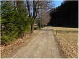 2
2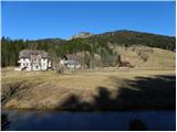 3
3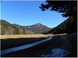 4
4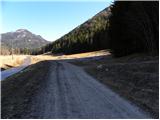 5
5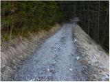 6
6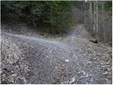 7
7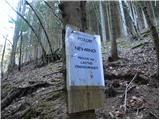 8
8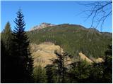 9
9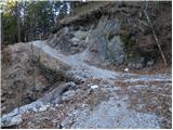 10
10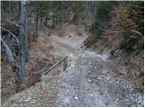 11
11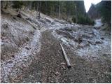 12
12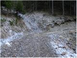 13
13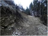 14
14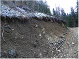 15
15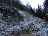 16
16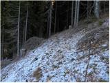 17
17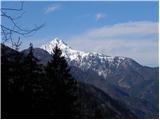 18
18 19
19 20
20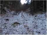 21
21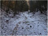 22
22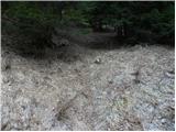 23
23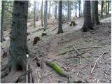 24
24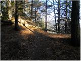 25
25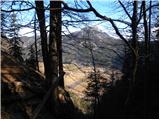 26
26 27
27 28
28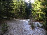 29
29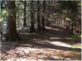 30
30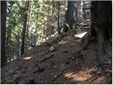 31
31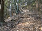 32
32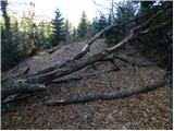 33
33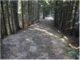 34
34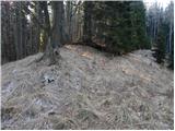 35
35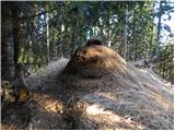 36
36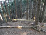 37
37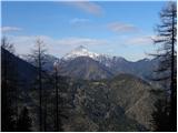 38
38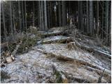 39
39 40
40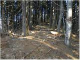 41
41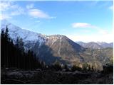 42
42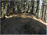 43
43 44
44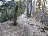 45
45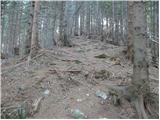 46
46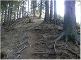 47
47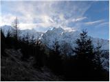 48
48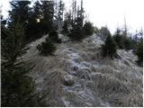 49
49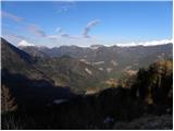 50
50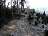 51
51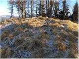 52
52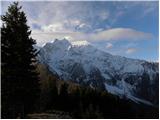 53
53
Discussion about the trip Makekova Kočna - Visoki vrh above Jezersko (via Javornik)
|
| ppegan29. 05. 2023 08:43:04 |
We went yesterday according to this description to Javornik and Visoki vrh, from there we continued to Češka koča. The description wasn't much help to me, as I didn't find the "invisible" path in picture 15. But I didn't worry much, as I found my way by following the forest road to its end, since the direction towards the ridge was right, then I turned slightly right onto the grassy ridge, which I followed to the higher-lying, very comfortable forest road. There I turned left and followed the road to the ridge and almost to the top of Javornik. In between there are now new clearings, a lot has been logged, so pictures from no. 15 to 43/44 are no longer accurate, it would be good to replace them. Javornik used to be forested and overgrown, now everything is logged, grass grows instead of trees. Still very nice areas, for us another partly pathless hike from the wishlist 
|
|
|
To post a comment you must log in:
If you do not yet have a username, you must first
register.