Makekova Kočna - Visoki vrh above Jezersko
Starting point: Makekova Kočna (900 m)
| Latitude/Longitude: | 46,3931°N 14,5009°E |
| |
Walking time: 1 h 30 min
Difficulty: easy unmarked way
Elevation gain: 559 m
Elevation difference along the route: 559 m
Map: Kamniške in Savinjske Alpe 1:50.000
Recommended equipment (summer):
Recommended equipment (winter): ice axe, crampons
Views: 9.986
 | 1 person like this post |
Access to starting point:
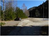
From the Ljubljana - Jesenice motorway, take the Kranj - East exit and follow the road ahead in the direction of Jezersko. At Jezersko, at the bus station, turn right into the Makekova Kočna valley (direction Čedca waterfall, Veliki vrh and Češka koča mountain hut). The road then crosses Jezernica over a bridge, but we, just a few metres further at the junction by the chapel, turn left towards the nearby sports ground next to which we park.
Route description:
From the parking lot we return to the chapel, then for some time we continue on the asphalt road, which ascends across a panoramic meadow. Higher, the road runs along the edge of the forest, and at this spot we continue left in the direction of the Češka koča mountain hut and Zupan homestead (straight to Čedca waterfall and Veliki vrh). After 150 m the road ends at the mentioned farm, and we continue the ascent on a marked cart track, which quickly brings us to a somewhat larger clearing. Here the markers direct us left onto the mountain path, along which in a few minutes we climb to the nearby forest road. We follow the road to the left, and it soon makes a sharp right turn and then above a solitary house ascends even steeper. We continue along the road only a short time longer, then the mountain signpost for Češka koča directs us left onto an ascending cart track. We continue the ascent along the cart track for some time, and higher it crosses an already quite ruined forest road. The cart track, which runs through the forest, gradually turns into a pleasant forest path, and it quickly brings us to a spring.
Above the spring the path ascends steeply, then turns slightly to the right, where after a few minutes of further walking it joins a cart track. We continue straight along the occasionally quite panoramic path, and higher it enters dense forest and brings us to the saddle Kačji rob.
At the mentioned saddle, where the marked path turns right, we continue steeply upwards to the left on an unmarked path that ascends along the south ridge of Visoki vrh. We continue the ascent along the easily followable path, which higher levels out and brings us out of the forest. Once we step out of the forest, only a minute of panoramic walking remains along the upper slope of the mountain to the summit.

Along the route: Pri studencu (1230m), Za Jezerci (1320m), Kačji rob (1340m)
Photos:
 1
1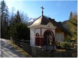 2
2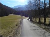 3
3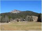 4
4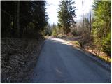 5
5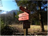 6
6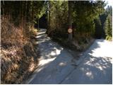 7
7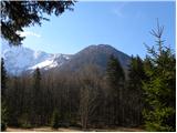 8
8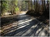 9
9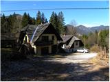 10
10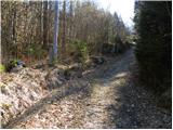 11
11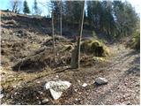 12
12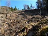 13
13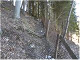 14
14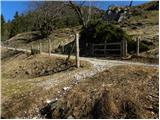 15
15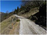 16
16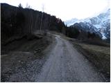 17
17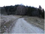 18
18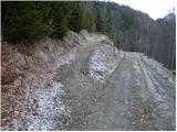 19
19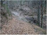 20
20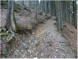 21
21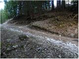 22
22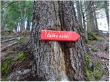 23
23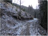 24
24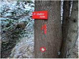 25
25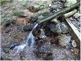 26
26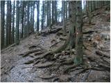 27
27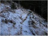 28
28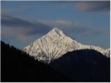 29
29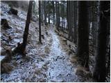 30
30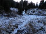 31
31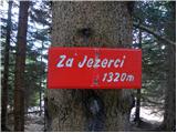 32
32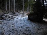 33
33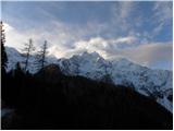 34
34 35
35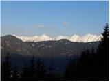 36
36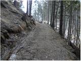 37
37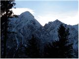 38
38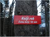 39
39 40
40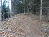 41
41 42
42 43
43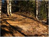 44
44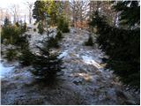 45
45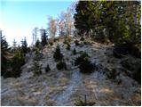 46
46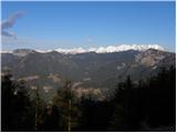 47
47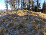 48
48 49
49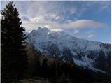 50
50
Discussion about the trip Makekova Kočna - Visoki vrh above Jezersko
To post a comment you must log in:
If you do not yet have a username, you must first
register.