Starting point: Lukoran (Turkija) (45 m)
| Latitude/Longitude: | 44,0916°N 15,1533°E |
| |
Walking time: 1 h 15 min
Difficulty: partly demanding marked way
Elevation gain: 241 m
Elevation difference along the route: 275 m
Map:
Recommended equipment (summer):
Recommended equipment (winter):
Views: 112
 | 1 person like this post |
Access to starting point:
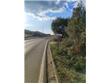
Leave the Zagreb–Split motorway at the Zadar east (Zadar istok) exit and continue to the Gaženica port in Zadar. From there, take the ferry to Ugljan island (Preko port). From Preko, head northwest towards the Ugljan settlement. Upon arriving in Lukoran, notice the hiking markers by the local cemetery. Park the car in a suitable spot near the cemetery, where the path to the Šćah summit begins.
Route description:
We start the path at the cemetery in the hamlet of Turkija (part of Lukoran). We walk along the asphalt road, and orientation is easy since the summit is always directly ahead. In the hamlet of Dunatovi, the asphalt road turns into a wider track, and we soon turn right towards the summit.
We then leave the wider track to the right and step onto the marked trail, which begins to ascend moderately. The terrain becomes increasingly rocky. After about 30 minutes of moderate ascent, we reach a junction at the saddle. To the left, the path leads to the fortress of Sv. Mihovil; we continue right.
From the junction, the path becomes somewhat more technically demanding. Occasional hand assistance is needed, as the path leads us over short rocky steps to a scenic fore-summit. From the fore-summit follows a short but cautious descent over rugged terrain, losing about 30 meters of elevation.
In the final section, we ascend again. After about 10 minutes walking over rocky steps, we reach the summit, where a large cross and logbook stand. The summit offers exceptional views of Zadar, Velebit, and neighboring islands.
We do not recommend the path in rain, as the rocks are extremely slippery. With no shade (high forest) on the path, an early start is advised in summer. The path is highly exposed in bora winds.

Photos:
 1
1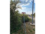 2
2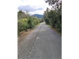 3
3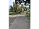 4
4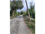 5
5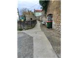 6
6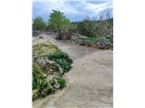 7
7 8
8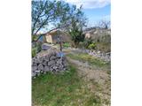 9
9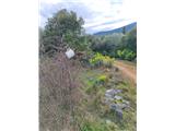 10
10 11
11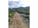 12
12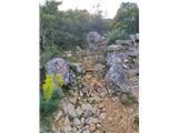 13
13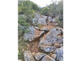 14
14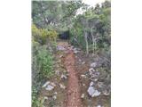 15
15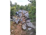 16
16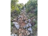 17
17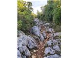 18
18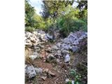 19
19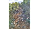 20
20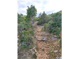 21
21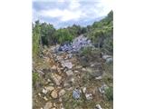 22
22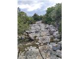 23
23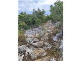 24
24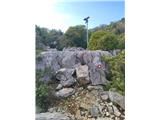 25
25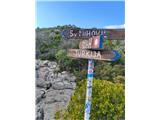 26
26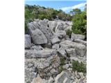 27
27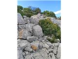 28
28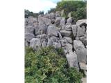 29
29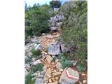 30
30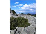 31
31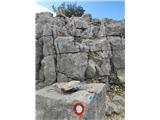 32
32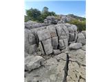 33
33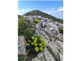 34
34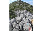 35
35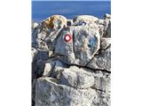 36
36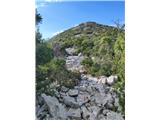 37
37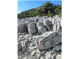 38
38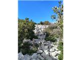 39
39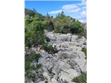 40
40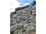 41
41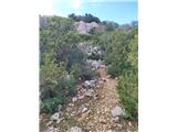 42
42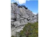 43
43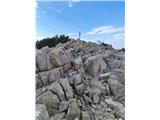 44
44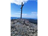 45
45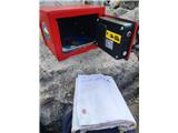 46
46
Discussion about the trip Lukoran (Turkija) - Šćah
To post a comment you must log in:
If you do not yet have a username, you must first
register.