Ljubljana (Podutik) - Toško Čelo
Starting point: Ljubljana (Podutik) (308 m)
| Latitude/Longitude: | 46,0747°N 14,4433°E |
| |
Walking time: 1 h
Difficulty: easy marked way
Elevation gain: 282 m
Elevation difference along the route: 300 m
Map: Ljubljana - okolica 1:50.000
Recommended equipment (summer):
Recommended equipment (winter): crampons
Views: 70.457
 | 2 people like this post |
Access to starting point:
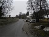
A) From Ljubljana ring road or highway Jesenice - Ljubljana we go to the exit Ljubljana - Podutik, and then we continue driving towards Podutik and later Dobrova and Polhov Gradec. Still before the road starts considerably ascending towards the mountain pass Preval, we get to the bus turning point in Podutik. We park at the end of the bus station in an appropriate place by the NOB monument (parking is prohibited at the bus station).
B) From highway Ljubljana - Koper we go to the exit Brezovica, and then we continue driving in the direction of Dobrova and Polhov Gradec. At the end of Dobrova signs for Šentvid point us to the right on a narrower road, on which we continue driving. Further, the road leads through Stranska vas, behind which it starts ascending towards Preval. From Preval, we continue straight downwards and we descend to the final bus station in Podutik. We park at the beginning of the bus station in an appropriate place by the NOB monument (parking is prohibited at the bus station).
C) To the starting point, we can also get there with city bus LPP number 5 and N5, namely by getting off at the final station in Podutik.
Route description:
On the cabin of the nearby toilet, which is situated directly by the bus station, we notice the blazes, which point us onto a meadow, through which we start ascending towards the south. After a short ascent, we get to the edge of the forest, where we continue right into the forest. In the forest, the path several times splits, and we all the time follow the blazes. A moderately steep path, which mostly runs on forest cart tracks, is then more and more turning to the right. After approximately 15 minutes of ascent, the path flattens or starts gradually descending towards Preval, which we quickly reach.
On Preval we cross the main road Dobrova - Podutik and we continue the ascent on a somewhat narrower road in the direction of Toško Čelo. For a short time, we are ascending above the quarry, and then we get to some sort of unregulated parking lot, by the NOB monument. Here we leave the road and we continue the ascent slightly right into the forest through which we start at first gently ascending. The path at first continues parallel with an asphalt road, and then turns a little more to the right and it ascends a little steeper. Higher, we cross a road, and then only a little further we join it. We follow the road to the left, and we walk on it to the left turn, from there straight onto a somewhat steeper footpath, which soon gets very close to the road. We continue right first on an indistinct ridge, on a path which continues through the forest. The path ahead crosses the edge of a meadow, after which we get to the hunting cottage on Toško Čelo.

Along the route: Preval (369m)
Photos:
 1
1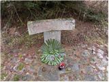 2
2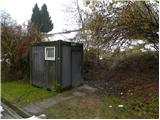 3
3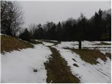 4
4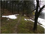 5
5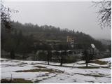 6
6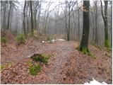 7
7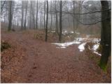 8
8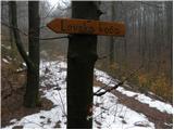 9
9 10
10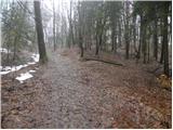 11
11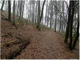 12
12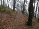 13
13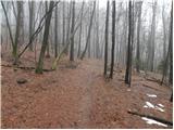 14
14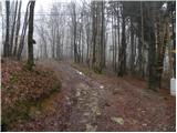 15
15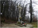 16
16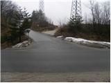 17
17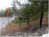 18
18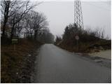 19
19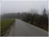 20
20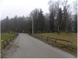 21
21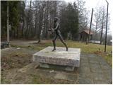 22
22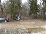 23
23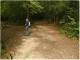 24
24 25
25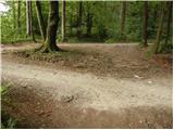 26
26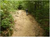 27
27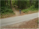 28
28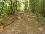 29
29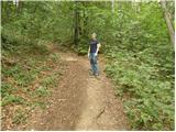 30
30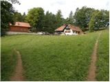 31
31 32
32
Discussion about the trip Ljubljana (Podutik) - Toško Čelo
|
| bos10. 04. 2014 |
Does anyone know where to get the stamp for the Couriers and Signallers Trail?
It should be at Gostilna Pri Bitencu, but it's closed.
|
|
|
|
| viharnik11. 04. 2014 |
Ask at the nearby LK on Toško Čelo. Gostilna Bitenc is closed, it was briefly rented before, with poor service of course it didn't work. I told owner Jani that they do well at Katarina, then it would also work on Toško Čelo, of course with a more serious and quality catering offer and trained catering staff. The location is namely a natural balcony above Ljubljana and one of the most frequented hills for relaxation and recreation.
|
|
|
|
| bos14. 04. 2014 |
In LK they know nothing about the stamp, they have their own.
|
|
|
|
| matjaz123456714. 03. 2016 |
Hello.
In 2015 the inn at BITENC has come back to life, since March there's a new tenant.
Very friendly service and tasty home-made food, which hasn't been in this inn before.
THERE WAS ALSO THE NEW YEAR'S CELEBRATION 2016 WHICH THEY SAY THEY DON'T REMEMBER SUCH.
All rumors that Bitenc is closed are untrue, at the same time I invite you to visit them and I tell you you won't be disappointed.
NICE HIGHLAND GREETING.
PS the stamp still exists.
|
|
|
|
| mirze6. 01. 2019 |
Status 6 January 2019: gostilna pri Bitencu not operating, although on the website http://toskocelo.com/ they recommend reservation for those arriving Saturday or Sunday. (Domain last renewed 6 March 2018.)
Food available at nearby hunting hut (or building next to it - open every day except Monday) and given the local offer there it probably really struggles to compete - although gostilna Bitenc has better location.
|
|
|
|
| J.P.1. 05. 2021 13:37:19 |
The hunting hut is open and they are very friendly. The path is nicely traceable, at the beginning we cross a small part of the downhill trail for just a few minutes. Best regards
|
|
|
|
| montura9. 03. 2022 16:00:49 |
Hunting lodge open, Bitenc closed.
|
|
|
|
| jegr23. 07. 2024 07:32:54 |
But at the beginning, do you go right over the bike paths that are now there at the starting point?
|
|
|
|
| nina423. 07. 2024 16:59:08 |
No, because there are no cycling trails. They have always been hiking paths, now cyclists do ride on them.
|
|
|
To post a comment you must log in:
If you do not yet have a username, you must first
register.