Starting point: Liboje (300 m)
Walking time: 45 min
Difficulty: easy marked way
Elevation gain: 309 m
Elevation difference along the route: 335 m
Map:
Recommended equipment (summer):
Recommended equipment (winter): crampons
Views: 11.402
 | 2 people like this post |
Access to starting point:
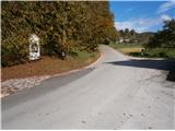
From the highway Ljubljana - Maribor we go to the exit Žalec and then we drive towards Arja vas. At the crossroad at the end of the village, we continue straight in the direction of Liboje. In Liboje we turn left in the direction of Košnica pri Celju and we follow the road to the mountain signposts for Veliki Slomnik or also Šmohor. We can safely park by the chapel, where there are some parking spots.
Route description:
From the parking lot, we follow signposts and blazes on the asphalt road uphill. Further, the asphalt road passes into an easy-to-follow forest road. By the path in this part there are some homesteads, pastures, meadows, fields... Further, the forest road passes into the embrace of the forest and we continue to the crossing, where to the left goes the path towards Veliki Slomnik and right towards Šmohor.
From the crossing, we go left, a little downwards, on the right side by the path, we will notice a wooden cross and on the left a column of a high voltage power line. The forest road passes into a narrower forest path and we continue higher on a little more rocky terrain. We reach the ideal viewpoint Libojska stena, where we rest our eyes with nice views on the nearby surroundings and also on a little more distant world. After the views, a few more minutes of pleasant easy continuation and we reach the peak Veliki Slomnik.
The total length of the path is around 2700 meters, 335 positive altitude meters and 25 negative altitude meters.

Photos:
 1
1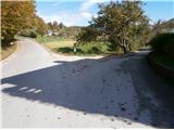 2
2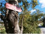 3
3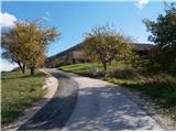 4
4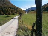 5
5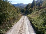 6
6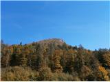 7
7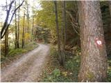 8
8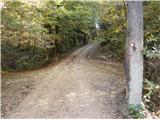 9
9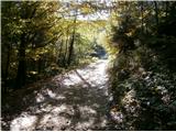 10
10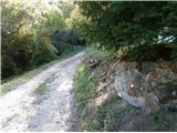 11
11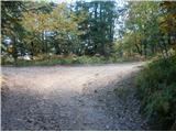 12
12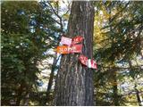 13
13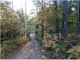 14
14 15
15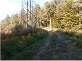 16
16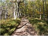 17
17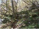 18
18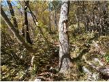 19
19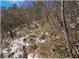 20
20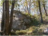 21
21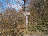 22
22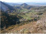 23
23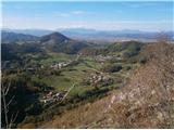 24
24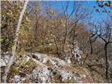 25
25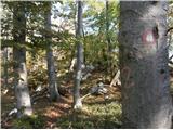 26
26 27
27
Discussion about the trip Liboje - Veliki Slomnik
|
| julius9. 05. 2016 |
Nice trip.
Some details worth correcting:
- at the starting junction it's not possible to park, because it's simply a junction and not a parking lot
- Parking is possible further along the forest road at larger spots.
- the direction signs in picture no. 13 are already past the junction and are only visible if you head to Šmohor and soon overgrown by a tree.
- further along the path to the viewpoint and to the summit, it would be very good if someone with tree shears went there and thoroughly trimmed the path.
- The stamp at the summit has long outlived its usefulness.
|
|
|
To post a comment you must log in:
If you do not yet have a username, you must first
register.