Starting point: Leše (530 m)
| Latitude/Longitude: | 46,5306°N 14,896°E |
| |
Walking time: 25 min
Difficulty: easy marked way
Elevation gain: 144 m
Elevation difference along the route: 144 m
Map: Koroška 1:50.000
Recommended equipment (summer):
Recommended equipment (winter):
Views: 399
 | 2 people like this post |
Access to starting point:
From Mežica, border crossing Holmec or Ravne na Koroškem, we drive to Prevalje, from where we continue driving towards the settlement Leše. When we arrive in Leše, we drive to ŠD Leše, where we park at an appropriate place.
Route description:
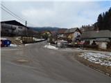
From the sports field we continue on the asphalt road which is ascending through the village. At the crossings, we follow the road on slightly left turn-offs, when the asphalt ends, we continue left on a cart track which is ascending on a panoramic grassy slope. The cart track then for some time continues below or by the route of a high-voltage power line, higher it turns right and past a smaller hamlet brings us to the registration box and a few steps ahead to both Leše churches.
Description and pictures refer to the condition in the year 2017 (February).
Photos:
 1
1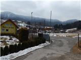 2
2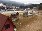 3
3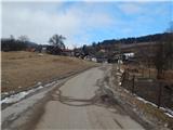 4
4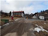 5
5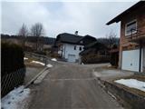 6
6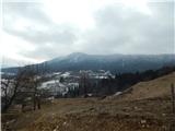 7
7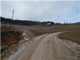 8
8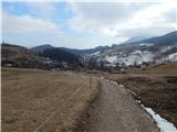 9
9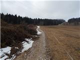 10
10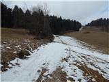 11
11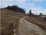 12
12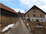 13
13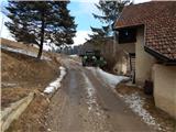 14
14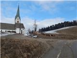 15
15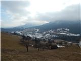 16
16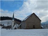 17
17
Discussion about the trip Leše - Leše churches
To post a comment you must log in:
If you do not yet have a username, you must first
register.