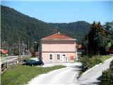
Starting point: Laze pri Dolskem (280 m)
| Latitude/Longitude: | 46,0879°N 14,6871°E |
| |
Walking time: 2 h 15 min
Difficulty: easy marked way
Elevation gain: 512 m
Elevation difference along the route: 512 m
Map:
Recommended equipment (summer):
Recommended equipment (winter):
Views: 11.831
 | 2 people like this post |
Access to starting point:
From Ljubljana, we drive towards Litija or vice versa, but only to the settlement Dolsko. Here we turn into the village and continue on the right bank of the Sava into the village Laze pri Dolskem. We park next to the railway station.
Route description:
From the railway station, we return 100 meters back on the road, where a sign points us to the path towards Janče. We continue through the village, where at the end, the blazes point us right onto a cart track. At the newly built chapel we turn right, and then we cross a smaller bridge and climb steeply up the slope. After less than an hour, the terrain flattens two hundred meters higher at the farmer Jernač, where the blazes point us to a macadam road towards Janče. On a fairly level road, we go through two hamlets, and a little before the end, the road becomes steeper. We reach the asphalt road right before Janče, and through the village we follow the signs to the mountain hut.
Photos:
 1
1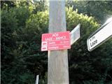 2
2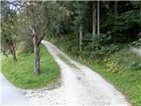 3
3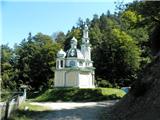 4
4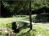 5
5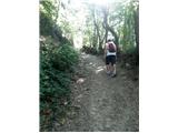 6
6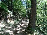 7
7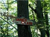 8
8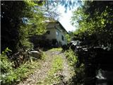 9
9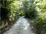 10
10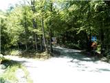 11
11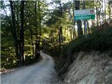 12
12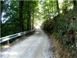 13
13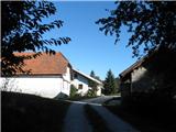 14
14 15
15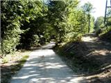 16
16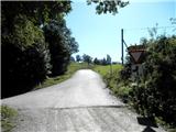 17
17 18
18
Discussion about the trip Laze pri Dolskem - Janče
To post a comment you must log in:
If you do not yet have a username, you must first
register.