Starting point: Laufnitzdorf (440 m)
| Latitude/Longitude: | 47,29111°N 15,32071°E |
| |
Walking time: 2 h 15 min
Difficulty: easy marked way
Elevation gain: 781 m
Elevation difference along the route: 805 m
Map: https://www.bergfex.at
Recommended equipment (summer):
Recommended equipment (winter):
Views: 108
 | 2 people like this post |
Access to starting point:
We leave the highway Maribor-Graz-Salzburg (A9) after a few shorter tunnels outside Graz and continue right on the expressway in the direction of Wien-Bruck/Muhr-Peggau.
We leave the expressway at exit Laufnitzdorf and turn right. On the road, we drive 1 km. On the left side we notice a parking lot, where we leave the car.
Route description:
From the parking lot on the other side of the road, we see the first blaze and signpost for Schiffall. We cross the road and follow the blazes through the settlement Laufnitzdorf. When the road ends, we continue on a forest path steeply upwards. We get to a larger meadow and by the edge of the forest we slowly gain altitude. We cross the fence and the road and continue on the path through the forest. We again come to a meadow, where a steep path through the meadow brings us to a narrower asphalt road. We go right and after 150 meters before the farm we leave the road and bypass the building on the left side. We continue on the forest road. We again come to a meadow (we admire the nice view into the valley), on which we go to the crossing Schiffall/Kreuzkogel. At the crossing, we go left in the direction of Schiffall. We follow the blazes to the top along a mostly wider and steeper forest path.
Photos:
 1
1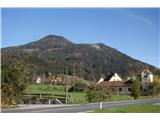 2
2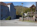 3
3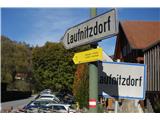 4
4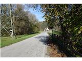 5
5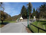 6
6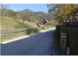 7
7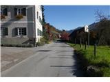 8
8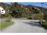 9
9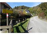 10
10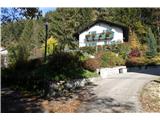 11
11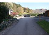 12
12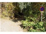 13
13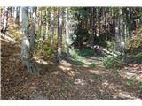 14
14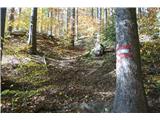 15
15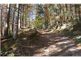 16
16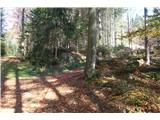 17
17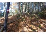 18
18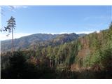 19
19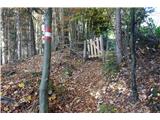 20
20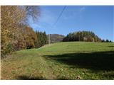 21
21 22
22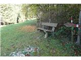 23
23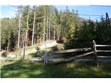 24
24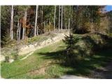 25
25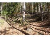 26
26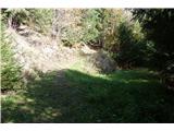 27
27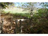 28
28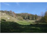 29
29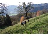 30
30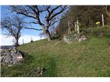 31
31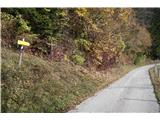 32
32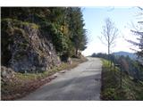 33
33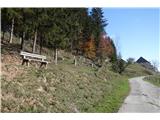 34
34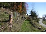 35
35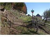 36
36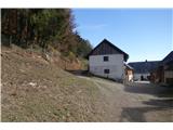 37
37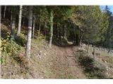 38
38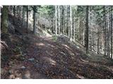 39
39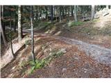 40
40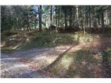 41
41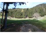 42
42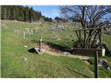 43
43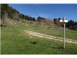 44
44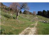 45
45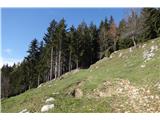 46
46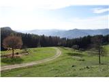 47
47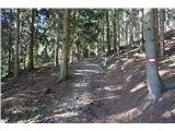 48
48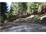 49
49 50
50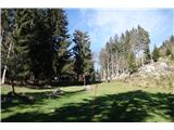 51
51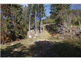 52
52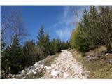 53
53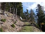 54
54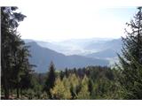 55
55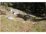 56
56 57
57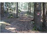 58
58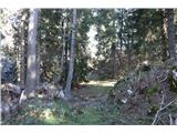 59
59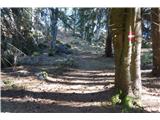 60
60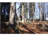 61
61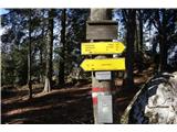 62
62 63
63
Discussion about the trip Laufnitzdorf - Schiffall
To post a comment you must log in:
If you do not yet have a username, you must first
register.