Krško - Sveti Primož (Kremen)
Starting point: Krško (203 m)
| Latitude/Longitude: | 45,9586°N 15,4942°E |
| |
Walking time: 25 min
Difficulty: easy marked way
Elevation gain: 137 m
Elevation difference along the route: 137 m
Map:
Recommended equipment (summer):
Recommended equipment (winter):
Views: 2.732
 | 2 people like this post |
Access to starting point:
A) From the Ljubljana - Obrežje motorway, take the Krško exit, then continue driving towards the aforementioned town. At the end of the settlement Leskovec pri Krškem, turn right and drive over the bridge into the centre of Krško. After the bridge, at the roundabout, follow the signs for the settlement Zdole and then park on the large parking lot at the beginning of Rozmanova ulica.
B) From the direction of Zasavje along the Sava River, drive towards Krško, where you turn left over the bridge towards the town centre. After the bridge, at the roundabout, follow the signs for the settlement Zdole and then park on the large parking lot at the beginning of Rozmanova ulica.
Route description:
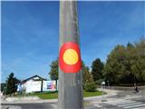
From the parking lot, we continue along Zdolska cesta, which first leads past the Memorial Park of Jurij Dalmatin, then also past the agricultural cooperative Kmetijska zadruga Sevnica and the pond Resa. After the pond at the crossroads, we continue left in the direction of the villages Kremen and Bučerca. Further on, we continue walking on the sidewalk, and along the path we notice some marks or stickers of European long-distance paths. Further on, we ascend past numerous residential houses, then we arrive at a crossroads where the marked path turns right towards the settlement Loke, but we continue straight towards Kremen. Further on, we ascend along an occasionally panoramic road, along which interesting graffiti accompany us on part of the path. When the graffiti end or before the road enters the forest, we continue right onto the road that ascends towards the east or later southeast. When the road levels out, past the vineyard we continue left, where after a few steps we step onto another road, along which in a minute or two we walk to the church of St. Primož.

Photos:
 1
1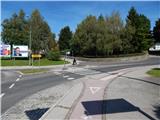 2
2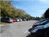 3
3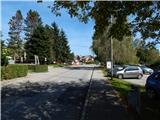 4
4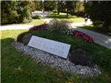 5
5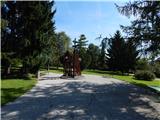 6
6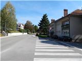 7
7 8
8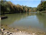 9
9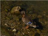 10
10 11
11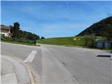 12
12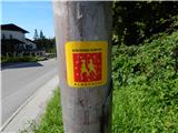 13
13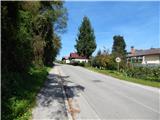 14
14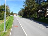 15
15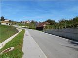 16
16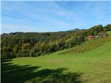 17
17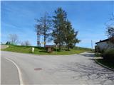 18
18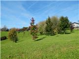 19
19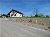 20
20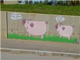 21
21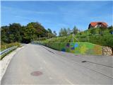 22
22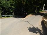 23
23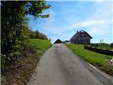 24
24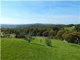 25
25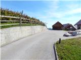 26
26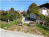 27
27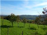 28
28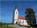 29
29
Discussion about the trip Krško - Sveti Primož (Kremen)
To post a comment you must log in:
If you do not yet have a username, you must first
register.